风暴登陆南加州:威明顿绕行道淹水困住多辆车,圣莫尼卡夜间雷声伴停电
位于加州洛杉矶县的威明顿(Wilmington)社区11月13日清晨遭遇街道淹水。两股太平洋风暴系统先后登陆南加州,第一股于周四夜间至周五带来降雨,威明顿的 Harry Bridges Boulevard 一段被水淹没,多辆车被困;美国国家气象局对马里布海岸与洛杉矶县海滩发布的沿海洪水提示,持续至周六(14日)下午4时。
周五清晨,降雨叠加高潮位,Harry Bridges Boulevard 一段积水成灾,多辆汽车受困水中,其中至少包括一辆半挂卡车,拖车被派往现场拖移车辆。这条大道是文森特·托马斯大桥(Vincent Thomas Bridge)封闭期间的指定绕行路线之一:该桥因桥面更换工程已于11月7日起全线封闭,预计持续约16个月,加州交通厅(Caltrans)将车流分流至710号与110号州际公路、103号州道及 Harry Bridges Boulevard 等路线。
洛杉矶县督察 Janice Hahn 就此呼吁加州交通厅另行指定一条绕行路线。她说:“Harry Bridges 和 Alameda 一带已有车辆被困在洪水中,而本周预计还有更多降雨,情况只会更糟。市与县的工作人员正在抽水,但我们不能继续让通勤者走一条正在淹水的路。”
周四夜间,南加多地传出雷声,圣莫尼卡出现雷声并发生与风暴相关的停电,受影响的用户数量尚未公布。国家气象局表示,周五清晨大部分地区降雨率低于每小时0.25英寸,局部约达每小时0.5英寸;第一股系统的分散阵雨周五下午自西北向东南减弱,第二股范围更广的降雨周五夜间至周六清晨接续而至,两股系统合计给大部分地区带来的总降雨量预计不到1英寸。
国家气象局洛杉矶/奥克斯纳德办公室周六凌晨4时02分更新提示:马里布海岸与洛杉矶县海滩的沿海洪水提示自周六凌晨4时持续至下午4时,高潮位时段,部分平时干燥的低洼沿海地带可能出现轻至中度海水淹漫,海滩停车场、自行车道与港区步道可能被淹,并可能出现中度至显著的海滩侵蚀;大浪提示持续至周二下午3时,洛杉矶县海滩周六碎浪可达8至12英尺,离岸流危险。气象局提醒,驾驶人不要绕过路障、不要驶入深度不明的积水。洛杉矶县公共卫生局另发布海洋水质雨水提示,至少持续至周一上午8时。
气象局预计,周六日出后至周日转为干燥,最高气温在华氏60多度至70多度;此后“风暴列车”格局延续,周日晚至周二还有一股系统抵达,周三白天至夜间另有一股,强度较弱。同一系列风暴在内华达山脉(Sierra Nevada)高海拔地区带来强降雪,当地冬季风暴警告持续至周二凌晨4时。
(来源:美国国家气象局)
关联:
冬季风暴警告生效:加州 Sierra 高海拔地区总降雪可达20英寸
圣贝纳迪诺县厄尔尼诺备灾提示:风暴季为宠物备好应急包与撤离计划
Storm Sweeps Into Southern California: Flooding Strands Vehicles on Wilmington Detour Route, Thunder and Outage in Santa Monica
Wilmington, a community in Los Angeles County, California, saw street flooding early on Friday, November 13, as the first of two Pacific storm systems swept into Southern California overnight Thursday into Friday. A stretch of Harry Bridges Boulevard was inundated and several vehicles were stranded, and a Coastal Flood Advisory issued by the National Weather Service for the Malibu Coast and Los Angeles County beaches remains in effect until 4 p.m. Saturday, November 14.
On Friday morning, rain combined with high tide flooded a stretch of Harry Bridges Boulevard, leaving several vehicles, including at least one big rig, stuck in the water; tow trucks were dispatched to remove them. The boulevard is serving as a designated detour route during the full closure of the Vincent Thomas Bridge, which shut on November 7 for a deck replacement project expected to last about 16 months. Caltrans is routing traffic onto Interstates 710 and 110, State Route 103 and Harry Bridges Boulevard.
Los Angeles County Supervisor Janice Hahn called on Caltrans to identify an alternate detour route. "We have cars getting trapped in floodwater on Harry Bridges and Alameda, and this is only going to get worse with more rain expected this week," Hahn said. "City and county crews are working to pump out the water, but we cannot keep sending commuters through a route that is flooding."
Thunder was reported overnight in several areas, including Santa Monica, where a storm-related outage knocked out power; the number of customers affected has not been released. The National Weather Service said rainfall rates early Friday were generally less than a quarter-inch per hour, with some local rates around 0.5 inches per hour. Scattered showers from the first system tapered off from northwest to southeast on Friday afternoon, and a second, more widespread round of rain moved through Friday night into early Saturday; most areas are expected to receive less than an inch of rain from the two systems combined.
In an update issued at 4:02 a.m. Saturday, the National Weather Service office in Los Angeles/Oxnard said the Coastal Flood Advisory for the Malibu Coast and Los Angeles County beaches runs from 4 a.m. to 4 p.m. Saturday: minor to moderate flooding of sea water is likely over some vulnerable low-lying coastal areas that are normally dry, especially around high tide, including beach parking lots, bike paths and harbor walkways, with moderate to significant beach erosion likely. A High Surf Advisory remains in effect until 3 p.m. Tuesday, with breaking waves of 8 to 12 feet expected on Los Angeles County beaches on Saturday and dangerous rip currents. The Weather Service advises drivers not to go around barricades or drive through water of unknown depth. Separately, the Los Angeles County Department of Public Health issued an ocean water-quality rain advisory through at least 8 a.m. Monday.
Forecasters expect dry weather after sunrise Saturday and through Sunday, with highs mostly in the 60s to low 70s. The "storm train" pattern is then expected to continue, with another system Sunday night through Tuesday and one more on Wednesday, both forecast to be weaker. The same storm series is bringing heavy snow to high elevations of the Sierra Nevada, where a Winter Storm Warning remains in effect until 4 a.m. Tuesday.
(Source: National Weather Service)
Related:
San Bernardino County Urges Pet Owners to Prepare for El Niño Storms
来源:美国国家气象局
发布:GSM·美国(发布链接)
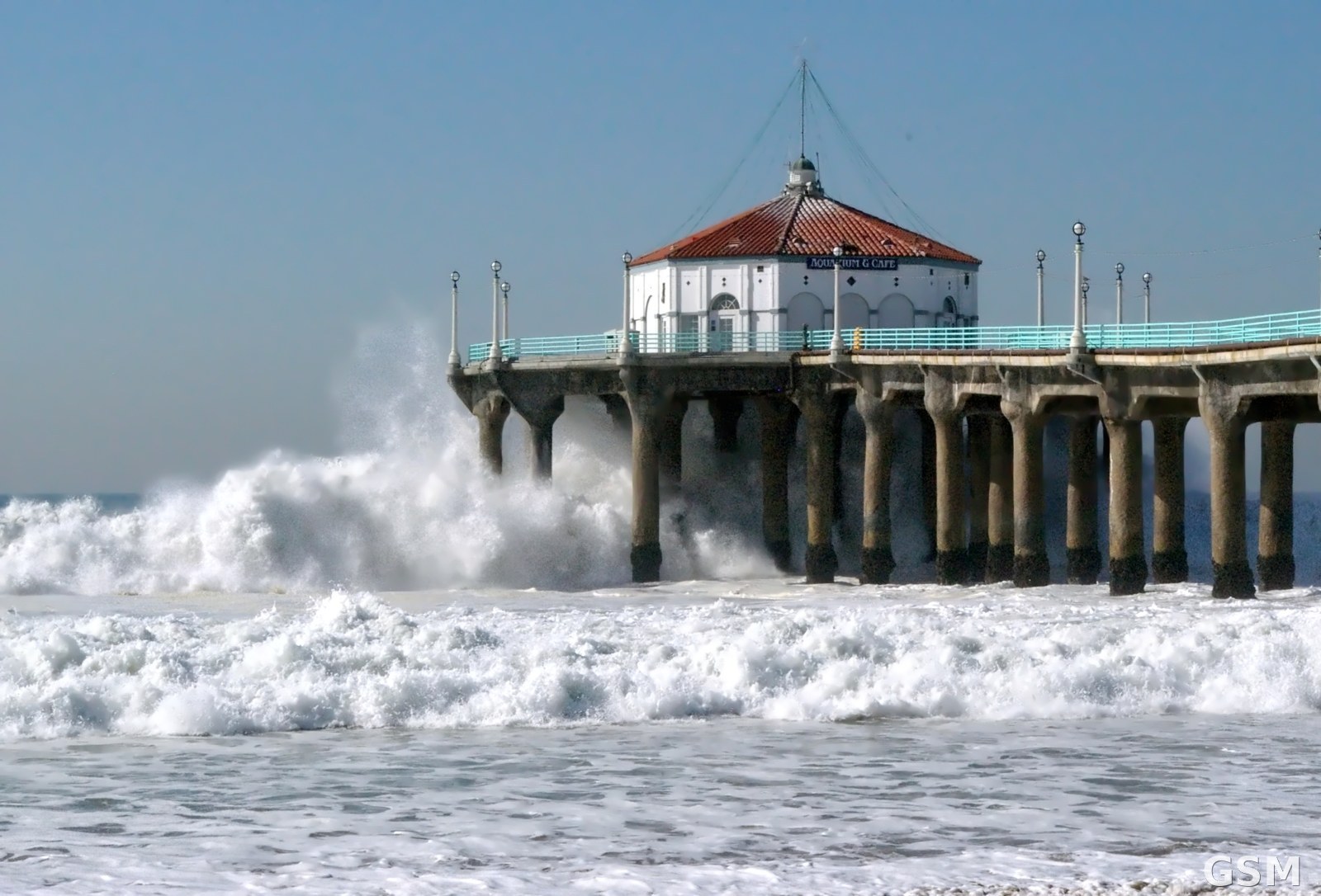
图片来源:洛杉矶县曼哈顿海滩码头遭冬季风暴巨浪拍打(资料图,Jakers3200 摄,Wikimedia Commons,CC BY-SA 3.0)
GSM Global · 本篇英文版 English edition of this story