跟进:Sierra冬季风暴警告降为冬季天气提示,周三新系统高海拔降雪可达24英寸
美国国家气象局 Hanford 办公室11月14日下午发布的预报讨论显示,Sierra Nevada 6,000英尺以上地区原先的冬季风暴警告已经降为冬季天气提示,提示有效期不变、持续到周二凌晨4时。本周这轮风暴的主体已经过境,山区天气转入两个系统之间的间歇期。
气象局说,下一轮系统预计周一抵达,雪线在6,500至7,000英尺,高海拔地区可再降雪最多约6英寸;雪线以下以降雨为主,San Joaquin Valley 周一24小时降雨量超过四分之一英寸的概率为30%至40%。周日早晨,San Joaquin Valley 中部出现零星浓雾的概率为40%至50%。
再下一轮系统预计周三从北太平洋南下、影响持续到周五,量级与刚过境的这轮相近:雪线仍在6,000英尺上下,Sierra 全域普遍可降雪5至10英寸,高海拔地区的高值情景可达24英寸。气象局同时表示,周末气温接近季节平均,工作周将转到平均以下。
这轮 Sierra 风暴自11月12日由观察升级为警告以来,太浩湖一带高海拔累计降雪可达20英寸;随着警告降级,山区出行的主要风险转为周一与周三两轮新系统的叠加降雪。
关联:冬季风暴警告生效:加州 Sierra 高海拔地区总降雪可达20英寸
(来源:美国国家气象局)
Follow-up: Sierra Winter Storm Warning Downgraded to a Winter Weather Advisory; Wednesday System Could Bring Up to 24 Inches at High Elevations
The National Weather Service office in Hanford said in its forecast discussion on the afternoon of November 14 that the Winter Storm Warning for the Sierra Nevada above 6,000 feet has been replaced by a Winter Weather Advisory, in effect through 4 a.m. Tuesday. The main body of this week's storm has moved through, leaving the mountains in a break between systems.
Forecasters expect the next system on Monday, with snow levels around 6,500 to 7,000 feet and up to about 6 additional inches of snow at the highest elevations. Below the snow level, rain is expected, and the chance of more than a quarter inch of rain in 24 hours on Monday is 30 to 40 percent for the San Joaquin Valley. Patchy dense fog is possible in the central San Joaquin Valley on Sunday morning, with a 40 to 50 percent chance of development.
Another system is forecast to drop in from the north Pacific early Wednesday and last into Friday, similar in strength to the one that just passed: snow levels near 6,000 feet, general totals of 5 to 10 inches across the Sierra Nevada, and higher-end totals upwards of 24 inches at the highest elevations. Temperatures will run near seasonal averages this weekend before falling below average for the work week.
The Sierra storm, upgraded from a watch to a warning on November 12, has brought up to 20 inches of snow at high elevations around Lake Tahoe. With the warning downgraded, the main travel risk shifts to the additional snow from the Monday and Wednesday systems.
(Source: National Weather Service)
来源:美国国家气象局
发布:GSM·美国(发布链接)
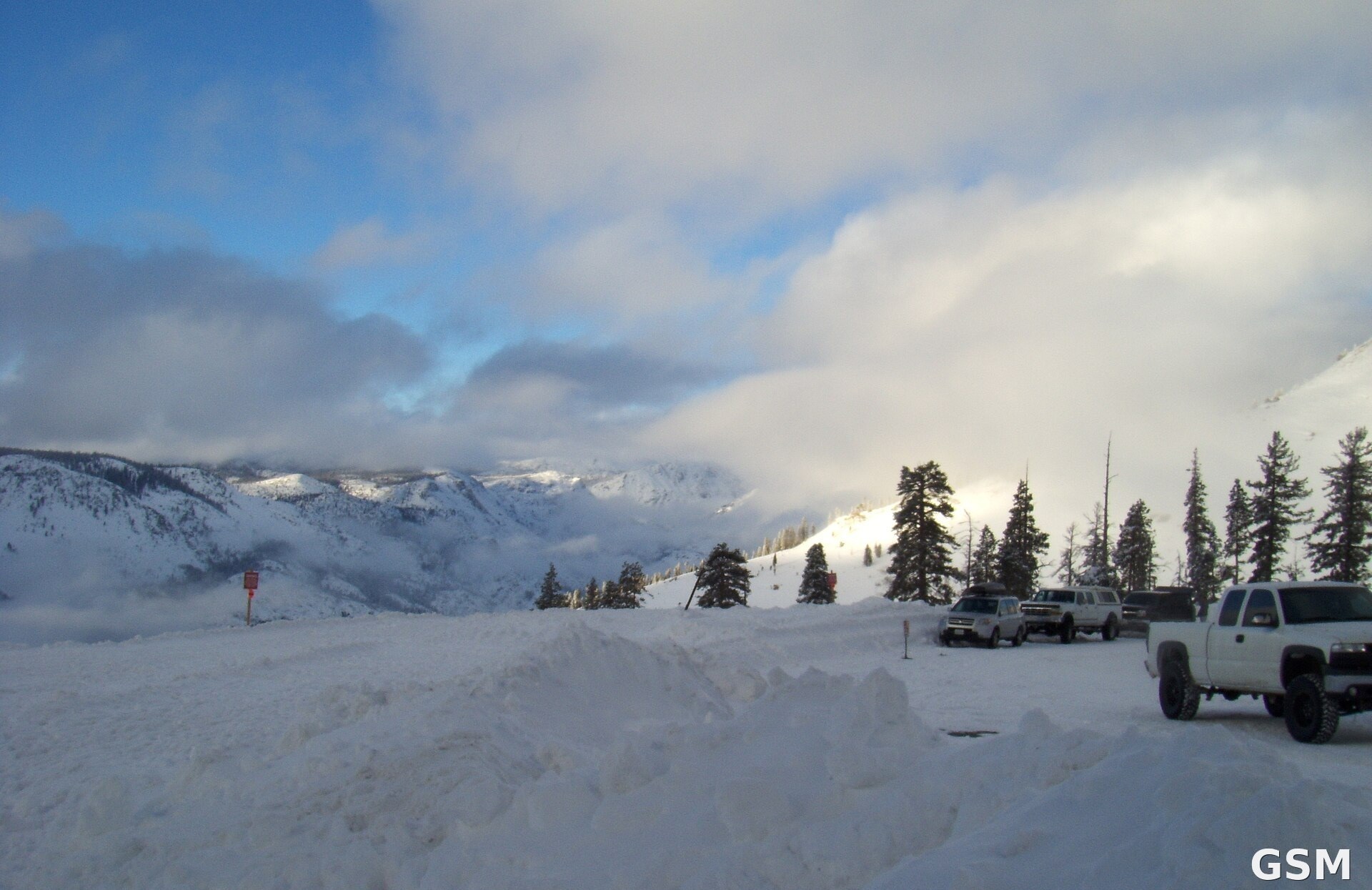
图片来源:图片来源:Wikimedia Commons,Shaggywoody 摄「CA Highway 4 at Bear Valley Jan. 23, 2010」(公共领域),图中为加州 Sierra Nevada 山区 Bear Valley 一带风暴过后的雪景(原图底部时间戳已裁去) Image: Wikimedia Commons, "CA Highway 4 at Bear Valley Jan. 23, 2010" by Shaggywoody (public domain), showing snow near Bear Valley in California's Sierra Nevada after a January storm (timestamp at bottom cropped)
GSM Global · 本篇英文版 English edition of this story
- 2026-11-11 02:13内华达山脉周五起迎冬季风暴:6,000英尺以上或降6至12英寸雪,阵风达每小时50英里
- 2026-11-12 00:51加州 Sierra Nevada 发布冬季风暴观察,6000英尺以上预计6至12英寸降雪
- 2026-11-12 09:00跟进:Sierra Nevada冬季风暴观察升级为警告,周五起6,000英尺以上降雪最高约2英尺
- 2026-11-12 02:41美国国家气象局11月12日把内华达山脉冬季风暴观察升级为警告:太浩湖周边7000英尺以上约12英寸雪、山脊阵风70至90英里,周五上午10时生效
- 2026-11-13 12:24跟进:Sierra Nevada 冬季风暴警告生效:太浩湖一带高海拔降雪可达20英寸、山脊阵风70至90英里
- 2026-11-14 03:58冬季风暴警告生效:加州 Sierra 高海拔地区总降雪可达20英寸
- 2026-11-14 19:07跟进:Sierra冬季风暴警告降为冬季天气提示,周三新系统高海拔降雪可达24英寸本篇