跟进:Sierra Nevada 冬季风暴警告生效:太浩湖一带高海拔降雪可达20英寸、山脊阵风70至90英里
美国国家气象局对加利福尼亚州 Sierra Nevada(内华达山脉)发布的冬季风暴警告11月13日(周五)上午生效:太浩湖一带7,000英尺以上降雪约12英寸、湖西山脊可达20英寸,北部 Sierra 6,000英尺以上降雪6至12英寸、最高峰可达18英寸,多数警告持续到周六上午10时。这是这条太平洋风暴系统本周抵达加州后,山区迎来的第一场大雪。
按国家气象局 Sacramento 办公室的警告,北部 Sierra 6,000英尺以上地带(含80号州际公路、50号国道与4号、108号州道,以及 Lassen 火山国家公园一带)周五上午10时至周六上午10时降雪6至12英寸,最高峰约18英寸,5,000英尺一带也可能有约2英寸,阵风可达每小时60英里。气象局提醒,这段时间山区出行可能非常困难。
太浩湖周边由 Reno 办公室负责预报:降雪最强的时段在周五下午2时至晚8时,降雪速率每小时1至2英寸、山脊可达每小时3英寸;山脊阵风每小时70至90英里,湖畔城镇一带也有每小时35至45英里。Mono 县的警告自周五下午1时起生效,7,000英尺以上降雪1至2英尺。更南边,Hanford 办公室对优胜美地(谷地以外)、红杉与国王峡谷国家公园高海拔地带发布的警告持续时间更长,当地6,000英尺以上降雪可达18英寸、阵风约每小时50英里。
除了山区降雪,这条风暴还给加州中部海岸带来高浪与海岸洪水警报。预报显示风暴在周六下午到周日短暂减弱后,周日晚至周一还有下一套系统跟进。需要翻越 Sierra 的驾驶人,应按冬季风暴条件准备行程,并以国家气象局与加州交通部的最新通告为准安排出行。
关联:美国国家气象局11月12日把内华达山脉冬季风暴观察升级为警告:太浩湖周边7000英尺以上约12英寸雪、山脊阵风70至90英里,周五上午10时生效
(来源:美国国家气象局)
Follow-up: Winter Storm Warnings in Effect for the Sierra Nevada, With Up to 20 Inches of Snow Near Lake Tahoe and Ridge Gusts of 70 to 90 mph
Winter storm warnings issued by the National Weather Service for California's Sierra Nevada took effect on Friday morning, November 13: about 12 inches of snow above 7,000 feet around Lake Tahoe, up to 20 inches along the crest west of the lake, and 6 to 12 inches above 6,000 feet in the northern Sierra, with up to 18 inches on the highest peaks. Most warnings run until 10 a.m. Saturday, as the first in a series of Pacific storms brings the mountains their first major snowfall of the season.
Under the Sacramento office's warning, the northern Sierra above 6,000 feet, including Interstate 80, U.S. Highway 50 and state routes 4 and 108, as well as the Lassen Volcanic National Park area, will see 6 to 12 inches from 10 a.m. Friday to 10 a.m. Saturday, with about 18 inches on the highest peaks, roughly 2 inches possible down to 5,000 feet, and winds gusting to 60 mph. The weather service cautions that travel in the mountains could be very difficult.
Around Lake Tahoe, where the Reno office issues the forecasts, the heaviest snow is expected between 2 p.m. and 8 p.m. Friday, at rates of 1 to 2 inches an hour and up to 3 inches an hour on the crest, with ridge gusts of 70 to 90 mph and 35 to 45 mph in the lakeside towns. A separate warning for Mono County, in effect from 1 p.m. Friday, calls for 1 to 2 feet of snow above 7,000 feet. Farther south, the Hanford office's warning for the high country of Yosemite outside the valley floor and for Sequoia and Kings Canyon national parks runs longer, with up to 18 inches above 6,000 feet and gusts near 50 mph.
The same storm is also bringing high surf and coastal flooding concerns to the Central Coast. Forecasters expect a brief break Saturday afternoon into Sunday before another system arrives Sunday night into Monday. Drivers crossing the Sierra should prepare for winter conditions and follow the latest National Weather Service and Caltrans advisories.
Related: National Weather Service upgrades Sierra Nevada winter storm watch to a warning on November 12
(Source: National Weather Service)
来源:美国国家气象局
发布:GSM·美国(发布链接)
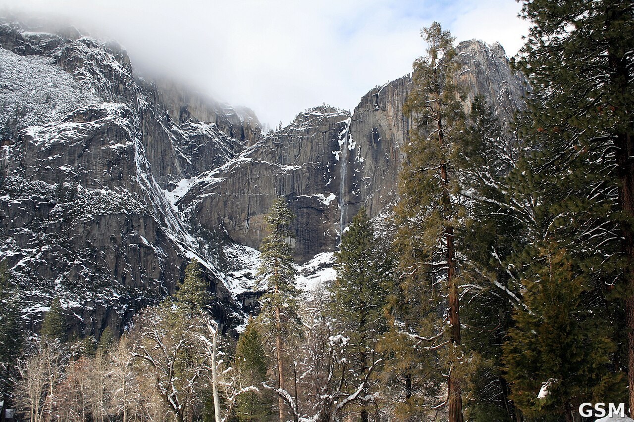
图片来源:图:冬日的优胜美地国家公园。本周 Sierra Nevada 迎来冬季风暴。Wikimedia Commons 图片(CC BY-SA 4.0)。 / Photo: Yosemite National Park in winter, as a winter storm reaches the Sierra Nevada this week. Wikimedia Commons image (CC BY-SA 4.0).
GSM Global · 本篇英文版 English edition of this story
- 2026-11-11 02:13内华达山脉周五起迎冬季风暴:6,000英尺以上或降6至12英寸雪,阵风达每小时50英里
- 2026-11-12 00:51加州 Sierra Nevada 发布冬季风暴观察,6000英尺以上预计6至12英寸降雪
- 2026-11-12 09:00跟进:Sierra Nevada冬季风暴观察升级为警告,周五起6,000英尺以上降雪最高约2英尺
- 2026-11-12 02:41美国国家气象局11月12日把内华达山脉冬季风暴观察升级为警告:太浩湖周边7000英尺以上约12英寸雪、山脊阵风70至90英里,周五上午10时生效
- 2026-11-13 12:24跟进:Sierra Nevada 冬季风暴警告生效:太浩湖一带高海拔降雪可达20英寸、山脊阵风70至90英里本篇