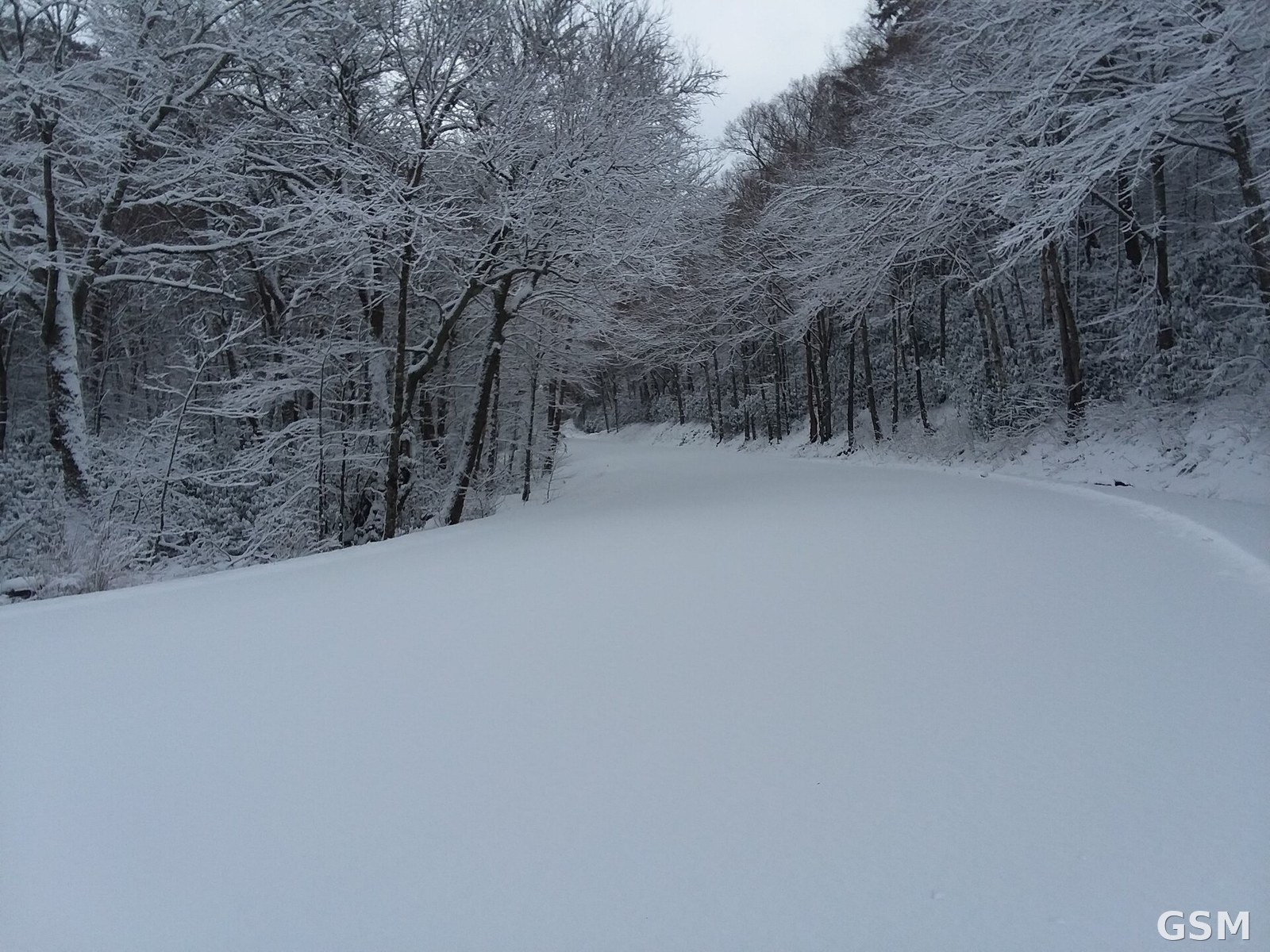
美国国家气象局11月12日把内华达山脉冬季风暴观察升级为警告:太浩湖周边7000英尺以上约12英寸雪、山脊阵风70至90英里,周五上午10时生效
一场太平洋风暴正向北加州与俄勒冈州南部推进。美国国家气象局 11 月 12 日把内华达山脉多地的冬季风暴观察升级为冬季风暴警告,警告自周五上午起生效。
里诺办公室对大太浩湖地区的警告自周五上午 10 时至周六上午 10 时生效:7000 英尺以上预计有约 12 英寸湿雪,7000 英尺以下可达 6 英寸,太浩湖以西的山脊一带可达 20 英寸,山脊阵风 70 至 90 英里,湖畔社区阵风 45 至 55 英里,湖面浪高 2 至 5 英尺。
莫诺县的另一份警告自周五下午 1 时至周六上午 10 时生效,7000 英尺以上预计降雪 1 至 2 英尺。萨克拉门托办公室对北部山脉 6000 英尺以上的警告同样自周五上午 10 时至周六上午 10 时,覆盖 80 号州际公路与 50 号国道等通道,最高峰可达 2 英尺,降雪线将由周五的 6500 至 7500 英尺降至周六清晨的 5500 至 6500 英尺。
汉福德办公室对优胜美地与国王峡谷、红杉国家公园一带的警告延续至周二凌晨 4 时,当地 6000 英尺以上可达 18 英寸。气象局预计周六下午至周日短暂间歇后,周日夜至周一还有一场更冷的风暴带来更多山雪。
关联:内华达山脉周五起迎冬季风暴:6,000英尺以上或降6至12英寸雪,阵风达每小时50英里
The National Weather Service Upgrades Sierra Nevada Winter Storm Watches to Warnings on November 12: About 12 Inches of Snow Above 7,000 Feet Around Lake Tahoe and Ridge Gusts of 70 to 90 Miles an Hour From Friday Morning
A Pacific storm is moving toward Northern California and southern Oregon. The National Weather Service on November 12 upgraded winter storm watches to winter storm warnings across the Sierra Nevada, with the warnings taking effect on Friday morning.
The Reno office warning for the Greater Lake Tahoe Area runs from 10 a.m. Friday to 10 a.m. Saturday: about 12 inches of heavy wet snow above 7,000 feet, up to 6 inches below that elevation, and as much as 20 inches along the crest west of Lake Tahoe, with ridge gusts of 70 to 90 miles an hour, gusts of 45 to 55 miles an hour in lakeside communities, and wave heights of 2 to 5 feet on the lake.
A separate warning for Mono County runs from 1 p.m. Friday to 10 a.m. Saturday, calling for 1 to 2 feet of snow above 7,000 feet. The Sacramento office warning for the northern Sierra above 6,000 feet, covering Interstate 80 and Highway 50, also runs from 10 a.m. Friday to 10 a.m. Saturday, with up to 2 feet on the highest peaks, and snow levels falling from 6,500 to 7,500 feet on Friday to 5,500 to 6,500 feet by early Saturday.
The Hanford office warning for the Yosemite, Kings Canyon and Sequoia area holds until 4 a.m. Tuesday, with up to 18 inches above 6,000 feet. Forecasters expect a lull from Saturday afternoon through Sunday, followed by a colder storm with more mountain snow from Sunday night into Monday.
来源:美国国家气象局
发布:GSM·美国(发布链接)
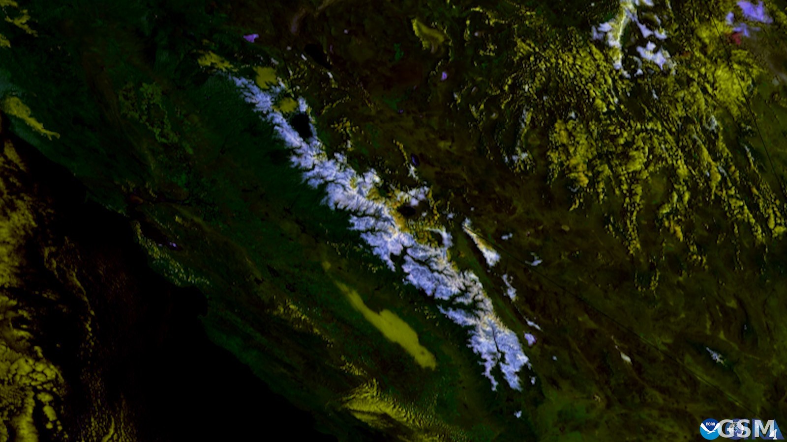
图片来源:图:Snow in the Sierra Nevada mountains (CIRA/NOAA satellite imagery).作者与授权:GOES imagery: CSU/CIRA & NOAA,Public domain,维基共享资源。 / Photo: Snow in the Sierra Nevada mountains (CIRA/NOAA satellite imagery). Wikimedia Commons (GOES imagery: CSU/CIRA & NOAA, Public domain).
GSM Global · 本篇英文版 English edition of this story
- 2026-11-11 02:13内华达山脉周五起迎冬季风暴:6,000英尺以上或降6至12英寸雪,阵风达每小时50英里
- 2026-11-12 00:51加州 Sierra Nevada 发布冬季风暴观察,6000英尺以上预计6至12英寸降雪
- 2026-11-12 09:00跟进:Sierra Nevada冬季风暴观察升级为警告,周五起6,000英尺以上降雪最高约2英尺
- 2026-11-12 02:41美国国家气象局11月12日把内华达山脉冬季风暴观察升级为警告:太浩湖周边7000英尺以上约12英寸雪、山脊阵风70至90英里,周五上午10时生效本篇