跟进:热带风暴佩纳在夏威夷南端以南510英里处向西移动,风速45英里/时、无沿海警报
美国国家气象局中太平洋飓风中心11月8日清晨5时(夏威夷时间)发布的第8号公告说,热带风暴佩纳的中心位于北纬11.6度、西经156.1度,约在夏威夷岛南端 South Point 以南510英里(825公里)、Johnston Island 东南偏东965英里处,正以每小时8英里(13公里)的速度向西(275度)移动,预计未来几天维持向西移动。
佩纳的最大持续风速为每小时45英里(75公里),阵风更高,最低中心气压1002毫巴,热带风暴级风场自中心向外延伸35英里。飓风中心说,未来几天佩纳可能逐渐增强。
目前没有任何沿海观察或警告生效,公告的「陆地影响」一栏写明为无。也就是说,这个风暴从夏威夷群岛以南较远的洋面经过,不对陆地构成直接威胁,海上船只仍应留意其35英里风场范围内的海况。
本站11月7日曾报道,佩纳11月6日在夏威夷东南方洋面生成,是中太平洋44年来首个11月热带风暴。此次公告显示它生成后持续向西、强度大体维持,下一份完整公告按计划在夏威夷时间上午11时发布。(来源:美国国家气象局中太平洋飓风中心)
Tropical Storm Pena Moves West 510 Miles South of Hawaii's South Point at 45 MPH, No Coastal Watches in Effect
The NWS Central Pacific Hurricane Center said in Advisory Number 8, issued at 5:00 a.m. HST on Sunday, November 8, 2026, that the center of Tropical Storm Pena was located near latitude 11.6 North, longitude 156.1 West, about 510 miles (825 km) south of South Point, Hawaii, and about 965 miles east-southeast of Johnston Island. Pena was moving west at 8 mph (13 km/h) toward 275 degrees, and a general westward motion was expected to continue over the next few days.
Maximum sustained winds were 45 mph (75 km/h) with higher gusts, the minimum central pressure was 1002 mb (29.59 inches), and tropical-storm-force winds extended outward up to 35 miles from the center. The hurricane center said gradual strengthening was possible in the next few days.
There were no coastal watches or warnings in effect, and the advisory listed hazards affecting land as none. The storm is passing well south of the Hawaiian Islands and poses no direct threat to land, though mariners should note conditions within its 35-mile wind field.
GSM reported on November 7 that Pena had formed on November 6 southeast of Hawaii, the first November tropical storm in the central Pacific in 44 years. The latest advisory shows it holding a westward course at steady strength, with the next complete advisory scheduled for 11:00 a.m. HST. (Source: NWS Central Pacific Hurricane Center)
来源:美国国家气象局中太平洋飓风中心
发布:GSM·美国(发布链接)
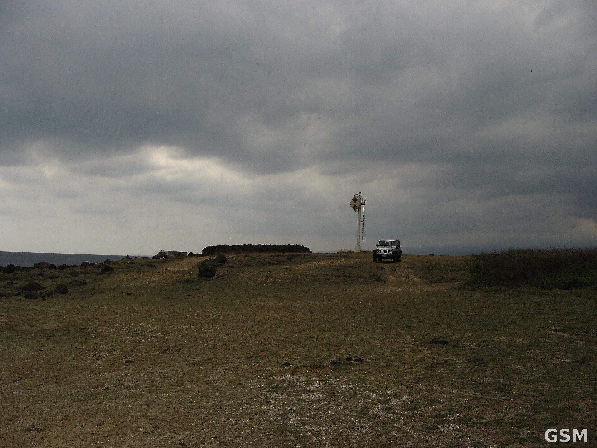
图片来源:图:夏威夷岛南端 South Point(Ka Lae)的海岸与灯塔,热带风暴佩纳正从其以南约510英里的洋面经过。Wikimedia Commons 图片(CC BY-SA 2.0)。 / Photo: The coast and light at Ka Lae (South Point), Hawaii, with Tropical Storm Pena passing about 510 miles to its south. Image via Wikimedia Commons (CC BY-SA 2.0).
GSM Global · 本篇英文版 English edition of this story
- 2026-11-07 18:25热带风暴佩纳生成 成中太平洋44年来首个11月风暴 距夏威夷550多英里暂无威胁
- 2026-11-09 01:19跟进:热带风暴佩纳在夏威夷南端以南510英里处向西移动,风速45英里/时、无沿海警报本篇