国家气象局对科罗拉多州San Juan山区发布冬季风暴警告:高海拔降雪可达18英寸
美国国家气象局(National Weather Service,NWS)11月1日对科罗拉多州西南部 San Juan 山区发布冬季风暴警告并持续生效:Grand Junction 办公室的警告覆盖西北部与西南部 San Juan 山区,Pueblo 办公室当晚6时06分(山地时间)新发的警告覆盖东部 San Juan 山区,两道警告均持续至11月2日(周一)上午至中午,10,000英尺以上高海拔地区降雪总量可达18英寸。
Grand Junction 办公室的警告称,西北部与西南部 San Juan 山区10,000英尺以上地区降雪总量将在12至18英寸之间,局部可能更高,阵风可达每小时45英里,警告有效期至周一中午(山地时间)。气象局表示,当地出行可能非常困难、甚至无法通行,危险路况将影响周一早高峰通勤。
Pueblo 办公室当晚新发的警告称,东部 San Juan 山区10,000英尺以上地区还将再降最多10英寸雪,阵风可达每小时50英里,警告有效期至周一上午11时(山地时间)。气象局特别指出,今晚至周一上午,Wolf Creek Pass 与 Cumbres Pass 一带出行可能非常困难,强风会造成吹雪与积雪漂移。
San Juan 山区是科罗拉多州降雪量最大的地区之一,Wolf Creek 一带以雪量丰沛著称。本次风暴期间,同处该州西南部的 Pagosa Springs 一带还在应对圣胡安河的重大洪水——两个方向的险情同时存在:低洼河谷面临今晚的洪峰预报,高海拔山区与垭口则面临持续降雪与强风,过往驾驶人需分别留意两类警告的适用区域与时段。
关联:跟进:圣胡安河今晚洪峰预报22英尺或破1911年纪录:Pagosa Springs低洼区强制疏散
Winter Storm Warnings in Effect for Colorado's San Juan Mountains: Up to 18 Inches of Snow Above 10,000 Feet
The National Weather Service (NWS) kept winter storm warnings in effect on November 1 for the San Juan Mountains of southwestern Colorado. A warning from the Grand Junction office covers the northwestern and southwestern San Juan Mountains, and a warning newly issued by the Pueblo office at 6:06 p.m. MST covers the eastern San Juan Mountains above 10,000 feet. Both warnings run into Monday, November 2, with total snow accumulations of up to 18 inches at high elevations.
The Grand Junction warning calls for total snow accumulations between 12 and 18 inches above 10,000 feet in the northwestern and southwestern San Juan Mountains, with locally higher amounts possible and winds gusting as high as 45 mph, until noon MST Monday. The Weather Service said travel could be very difficult to impossible and that the hazardous conditions will affect the Monday morning commute.
The warning issued by the Pueblo office on Sunday evening calls for additional accumulations of up to 10 inches above 10,000 feet in the eastern San Juan Mountains, with winds gusting as high as 50 mph, until 11 a.m. MST Monday. The Weather Service said travel could be very difficult, especially Sunday night and Monday morning over Wolf Creek Pass and Cumbres Pass, and that strong winds could produce areas of blowing and drifting snow.
The San Juan Mountains are among the snowiest ranges in Colorado, and the Wolf Creek area is known for heavy snowfall. While the high country faces snow and wind, the Pagosa Springs area in the same southwestern corner of the state is dealing with major flooding on the San Juan River, where a crest was forecast for Sunday night; drivers should note that the flood warnings apply to low-lying river valleys while the winter storm warnings apply to the high elevations and mountain passes.
来源:GSM·美国(原文链接)
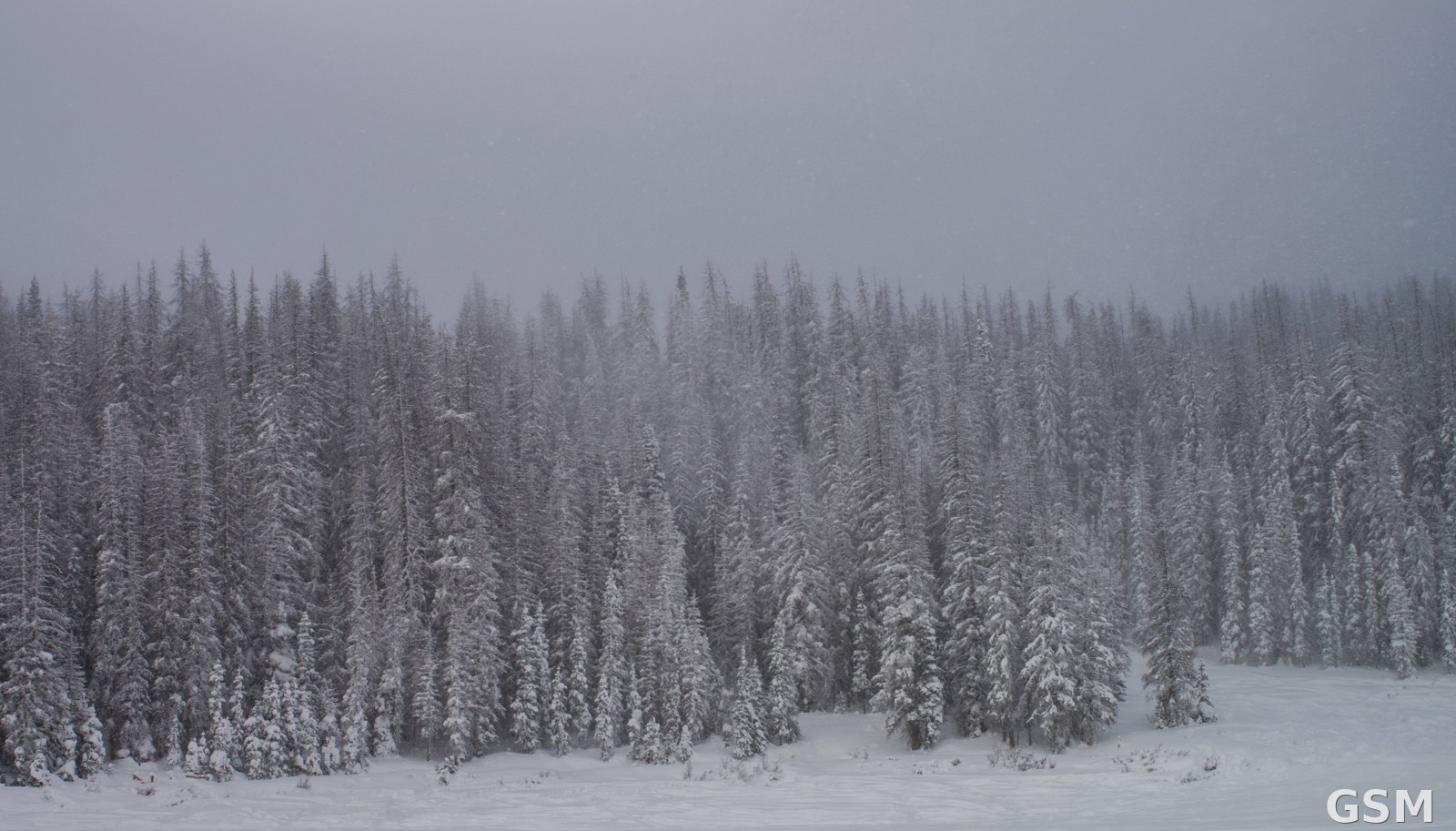
图片来源:图:科罗拉多州 Wolf Creek Pass 冬日雪景资料照片,非本次风暴现场。Corey Leopold 摄,CC BY 2.0,经 Wikimedia Commons。 / File photo: winter snow at Wolf Creek Pass, Colorado; not from this storm. Photo by Corey Leopold, CC BY 2.0, via Wikimedia Commons.
GSM Global · 本篇英文版 English edition of this story