马来西亚气象局发布海上强风巨浪预警 沿海多州风速达50公里、浪高3.5米
马来西亚气象局(MET Malaysia)10月17日上午8时45分更新海上天气预警,预报雷暴、强风与危险海况将影响多州海域,风速可达每小时50公里、浪高可达3.5米,对小船构成危险。雷暴警告有效期至当天马来西亚时间下午1时。
受影响海域包括玻璃市与吉打、槟城、霹雳、雪兰莪、柔佛、彭亨、登嘉楼、吉兰丹、砂拉越与沙巴东部。另一项能见度降低警告持续至10月18日,涉及霹雳、雪兰莪、森美兰、马六甲、柔佛与彭亨海域。
气象局表示,上述为预报中的危险状况,而非各地实测值。计划搭乘渡轮、海岛接驳或出海活动的旅客与船员,应在前往码头或登船前确认班次并遵循最新指引。(GSM 据马来西亚气象局预警、Travel And Tour World报道)
Malaysia Issues Marine Warning: Winds to 50 km/h and Waves of 3.5 Metres Off Coastal States
The Malaysian Meteorological Department (MET Malaysia) renewed its marine warning at 8:45 a.m. on October 17, forecasting thunderstorms, strong winds and potentially hazardous seas, with winds reaching 50 kilometres per hour and waves rising to 3.5 metres — conditions dangerous to small boats. The thunderstorm warning ran until 1 p.m. Malaysian time that day.
Waters identified include those off Perlis and Kedah, Penang, Perak, Selangor, Johor, Pahang, Terengganu, Kelantan, Sarawak and eastern Sabah. A separate low-visibility warning continues until October 18 for waters off Perak, Selangor, Negeri Sembilan, Melaka, Johor and Pahang.
MET Malaysia says the storm conditions are forecast hazards rather than measurements at every location. Travellers planning island transfers, sightseeing cruises or fishing trips were advised to confirm individual departures and follow updated instructions before travelling to a jetty or boarding a vessel. (GSM, based on MET Malaysia's warning and Travel And Tour World reporting)
来源:GSM·美国(原文链接)
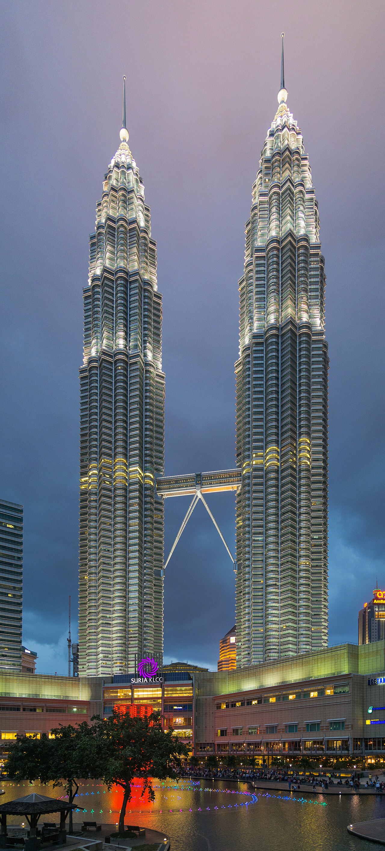
图片来源:吉隆坡双峰塔。The petronas towers, kuala lumpur. Photo by Marcin Konsek, Wikimedia Commons, CC BY-SA 4.0.
GSM Global · 本篇英文版 English edition of this story