加州图莱里县Alpaugh Fire数小时内烧至3,600英亩,最终2,664英亩完全受控
2026年8月19日14时40分,加利福尼亚州图莱里县Alpaugh一带42大道与38路附近燃起山火,命名为Alpaugh Fire。据加州消防局(CAL FIRE)事件页,这场火在数小时内快速扩大:14时48分报100英亩,15时37分达500英亩,19时27分达3,600英亩,控制率为零。
事发后,图莱里县对TLC-E275与TLC-E298等分区发出疏散警告,其后扩展至TLC-E275-A、TLC-E275-B等分区。火场由图莱里县消防局与土地管理局(BLM)中央加州区统一指挥,CAL FIRE派出地面与空中资源支援。
8月20日,全部疏散警告与疏散令解除;8月21日控制率达30%。8月23日的更新称,经更精确测绘,Alpaugh Fire面积修正为2,664英亩,已100%受控。起火原因仍在调查中。
Alpaugh Fire in California's Tulare County Surges to 3,600 Acres in Hours, Ends at 2,664 Acres Fully Contained
At 2:40 p.m. on August 19, 2026, a wildfire broke out near Avenue 42 and Road 38 in Alpaugh, in Tulare County, California, and was named the Alpaugh Fire. According to CAL FIRE's incident page, it grew rapidly within hours: 100 acres at 2:48 p.m., 500 acres at 3:37 p.m., and 3,600 acres with zero containment at 7:27 p.m.
Tulare County issued evacuation warnings for zones including TLC-E275 and TLC-E298, later expanded to TLC-E275-A and TLC-E275-B. The fire was in unified command of the Tulare County Fire Department and the Bureau of Land Management's Central California District, with CAL FIRE ground and air resources assigned.
All evacuation warnings and orders were lifted on August 20, and containment reached 30% on August 21. An August 23 update said better mapping reduced the Alpaugh Fire to 2,664 acres, and it was 100% contained. The cause remained under investigation.
来源:加州消防局
发布:GSM·美国(发布链接)
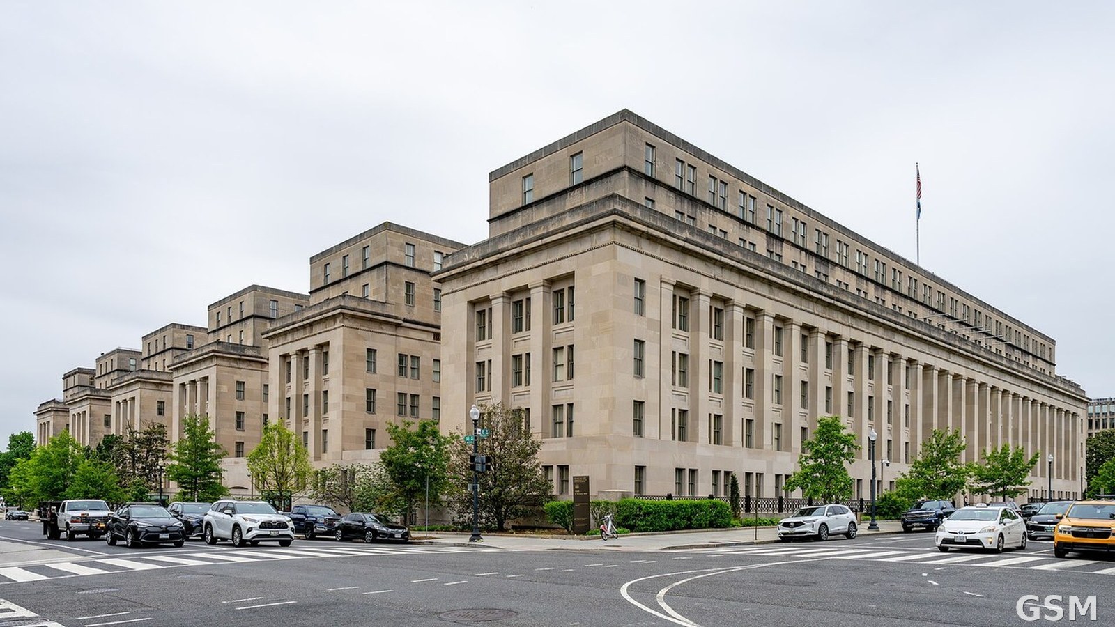
图片来源:图:主管土地管理局(BLM)的美国内政部总部大楼(资料图)。(GSM固定图库) / Photo: U.S. Department of the Interior headquarters, home department of the Bureau of Land Management (file photo). (GSM asset library)
GSM Global · 本篇英文版 English edition of this story