加州拉森县Biscar Fire烧毁逾6.9万英亩,一度跨越395号公路并蔓延至内华达州
加州消防局(CAL FIRE)记录显示,2026年7月18日下午,加州拉森县苏珊维尔东北部发生 Biscar Fire。火势在高温与强风推动下快速蔓延:当日14时50分通报时为197英亩,19时27分已达3,116英亩,21时14分火头跨越美国395号公路,有关地区发布疏散令与疏散警告。
此后火势继续向东扩张,并跨州蔓延至内华达州瓦肖县。7月20日晚面积达40,000英亩,7月22日晚达69,320英亩、受控率10%;7月23日面积修正为69,344英亩、受控率42%。7月24日疏散令解除,7月26日早间受控率升至92%。据CAL FIRE年度档案,该火最终面积69,355英亩。
CAL FIRE事件页未载明起火原因定论,起火原因仍在调查中。
关联:加州Elephant Fire烧毁13,930英亩,历时15天完全受控
Biscar Fire in California's Lassen County Burns More Than 69,000 Acres, Crosses Highway 395 Into Nevada
CAL FIRE records show the Biscar Fire broke out on the afternoon of July 18, 2026, northeast of Susanville in Lassen County, California. Driven by heat and wind, it grew from 197 acres at 2:50 p.m. to 3,116 acres by 7:27 p.m., and by 9:14 p.m. it had crossed U.S. Highway 395, with evacuation orders and warnings in effect.
The fire continued east and crossed into Washoe County, Nevada. It reached 40,000 acres on the evening of July 20 and 69,320 acres at 10% containment on July 22; the mapped size was revised to 69,344 acres at 42% containment on July 23. Evacuation orders were lifted on July 24, and containment reached 92% on the morning of July 26. CAL FIRE's season archive lists a final size of 69,355 acres.
The cause of the fire remains under investigation, according to CAL FIRE.
Related: California's Elephant Fire Burns 13,930 Acres Before Full Containment After 15 Days
来源:加州消防局
发布:GSM·美国(发布链接)
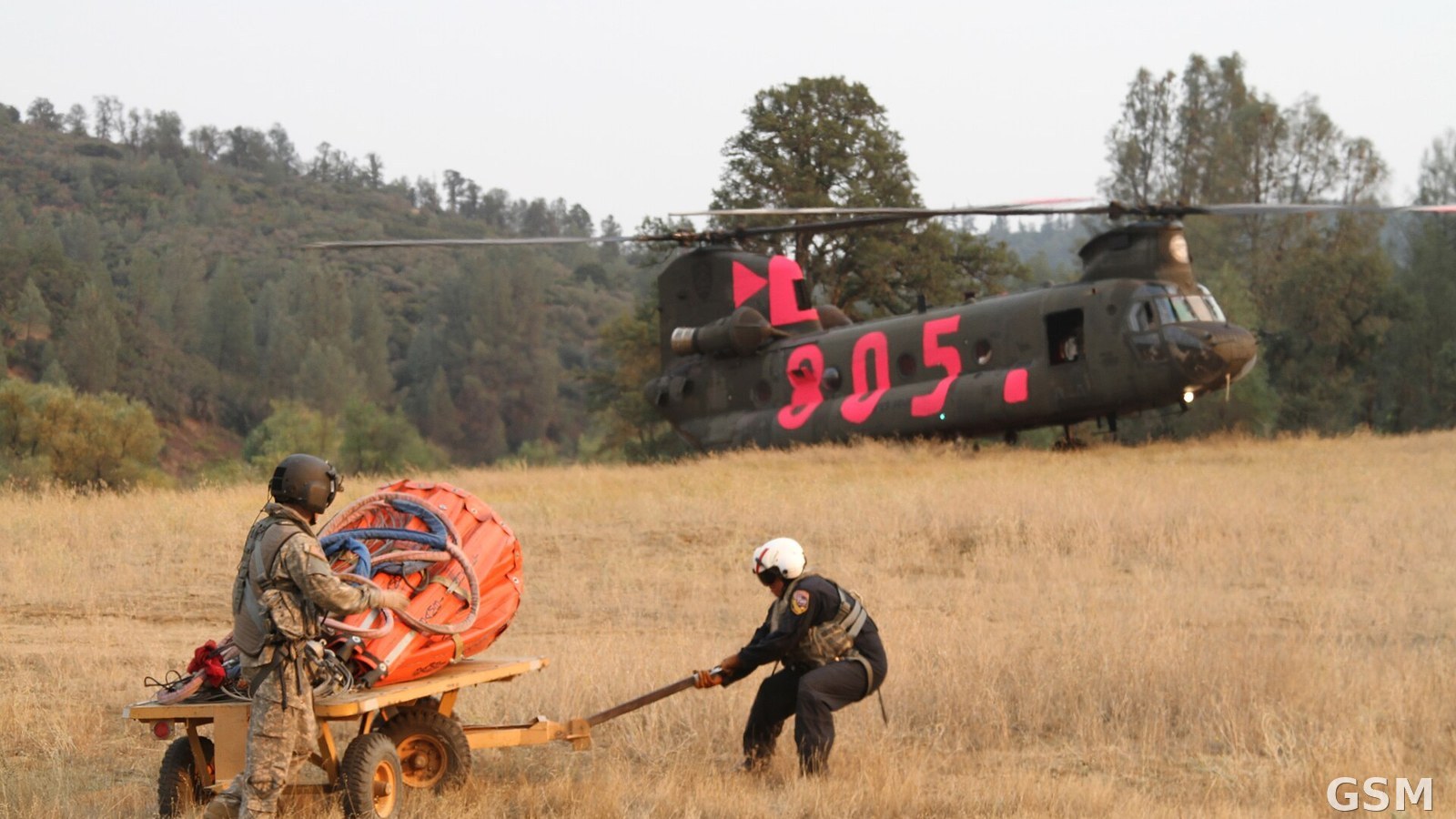
图片来源:图:加州国民警卫队奇努克直升机与消防人员在北加州野火扑救中作业(资料照片)。Edward Siguenza 摄,公共领域,经 Wikimedia Commons。 / Photo: A California National Guard Chinook helicopter and firefighters work a Northern California wildfire (file photo). Photo by Edward Siguenza, public domain, via Wikimedia Commons.
GSM Global · 本篇英文版 English edition of this story