日本三陆海域发生7.4级地震,震中在岩手县宫古市东北102公里海域
2026年4月20日,日本岩手县宫古市东北102公里的太平洋海域(三陆海域)发生7.4级地震。按美国地质调查局(USGS)的测定,地震发生于世界时7时52分58秒,即日本当地时间16时52分,震源深度25公里,震中坐标为北纬39.971度、东经143.059度。USGS 对这起事件发布了海啸信息标识。
宫古市位于岩手县东部沿海,面向太平洋,三陆海岸以里亚斯式海岸著称,当地渔业与海产养殖发达。震中海域处于日本海沟西侧,是太平洋板块俯冲带上的地震多发区。
主震约4分钟后,同一海域又发生一次6.0级地震,震中在宫古市以东100公里,世界时7时56分,震源深度35公里。USGS 全月事件目录显示,这是2026年4月全球第二起7.4级地震,另一起是4月1日印度尼西亚北苏拉威西附近海域的地震。
地震的具体损失情况以日本官方其后公布为准,本稿只采用 USGS 实时事件目录的测定数据。
关联:汤加Hihifo近海一天内接连发生6级以上地震,最大6.3级
Magnitude 7.4 Earthquake Strikes Off Japan's Sanriku Coast, 102 km Northeast of Miyako
On April 20, 2026, a magnitude 7.4 earthquake struck the Pacific Ocean 102 kilometers east-northeast of Miyako, a coastal city in Iwate Prefecture, Japan, off the Sanriku coast. The U.S. Geological Survey (USGS) put the origin time at 07:52:58 UTC, or 16:52 local time, with a depth of 25 kilometers and an epicenter at 39.971 degrees north, 143.059 degrees east. The USGS flagged the event for tsunami information.
Miyako sits on Iwate's Pacific coast, where the ria coastline of Sanriku supports major fishing and aquaculture industries. The epicentral area lies west of the Japan Trench, along the subduction zone where the Pacific Plate dives beneath northern Honshu, one of the most seismically active offshore regions in the world.
About four minutes after the mainshock, a magnitude 6.0 earthquake followed in the same area, 100 kilometers east of Miyako at 07:56 UTC, at a depth of 35 kilometers. The USGS monthly catalog shows this was the world's second magnitude 7.4 earthquake of April 2026, after the April 1 event off North Sulawesi, Indonesia.
This report uses only the measurements in the USGS real-time event catalog; damage assessments rest with later Japanese official announcements.
Related: Series of Magnitude 6-Plus Earthquakes Strike Off Hihifo, Tonga in One Day, Largest 6.3
来源:美国地质调查局
发布:GSM·美国(发布链接)
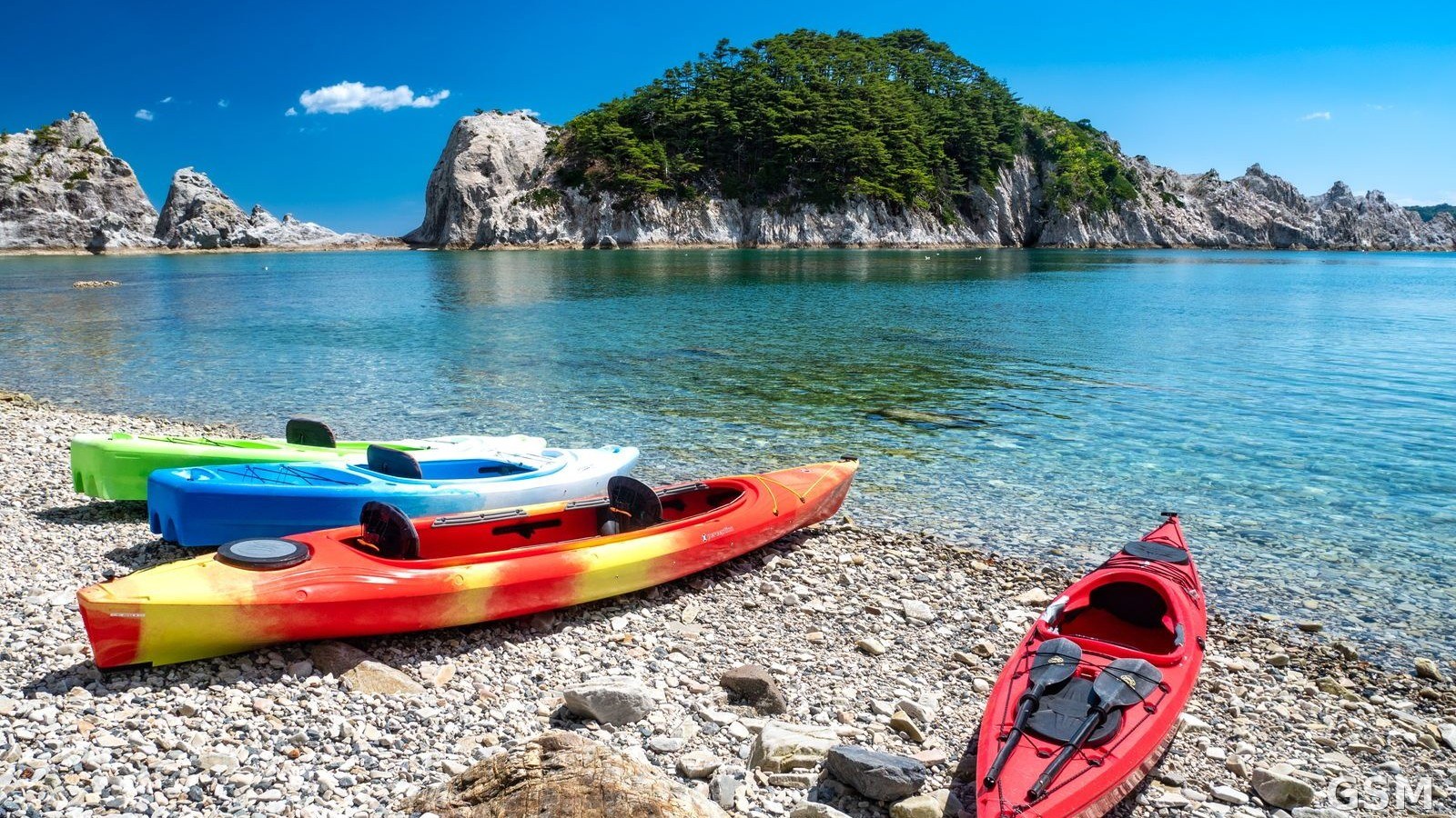
图片来源:图:日本岩手县宫古市净土之滨海岸(资料照片),震中位于宫古市东北约102公里海域。くろふね(Jranar)摄,CC BY 4.0,经 Wikimedia Commons。 / Photo: Jodogahama beach in Miyako, Iwate Prefecture, Japan (file photo); the epicenter was about 102 km northeast of Miyako. Photo by Jranar, CC BY 4.0, via Wikimedia Commons.
GSM Global · 本篇英文版 English edition of this story