迈阿密海滩新版联邦洪水地图明年2月19日生效 市议会18日首读表决
佛罗里达州迈阿密-戴德县迈阿密海滩市消息:联邦紧急事务管理署(FEMA)制定的迈阿密海滩新版洪水保险费率地图将于2027年2月19日正式生效,市政府必须在此之前更新本地防洪法规。市委员会定于11月18日对相关条例进行首读表决,该条例由市委员劳拉·多明格斯发起,首读听证定于上午10时50分。
FEMA在8月19日的认证信函中通知市政府,迈阿密-戴德县及下属各市的新版洪水保险研究与费率地图已经定稿。
条例将修订市政法典第54章防洪相关内容,以确保居民继续享有联邦洪水保险资格,并保住该市在国家洪水保险计划社区评级体系中的5级评级—该评级可为符合条件的投保人提供最高25%的保费折扣。市政府表示,更新法规是落实新版地图、保障居民投保权益的必要步骤。
Miami Beach's New Federal Flood Maps Take Effect February 19; City Council Holds First Reading Vote on November 18
Miami Beach, in Miami-Dade County, Florida: new flood insurance rate maps for Miami Beach drawn up by the Federal Emergency Management Agency (FEMA) will formally take effect on February 19, 2027, and the city must update its local flood-protection rules before then. The City Commission is set to hold a first-reading vote on the related ordinance on November 18; the measure was introduced by Commissioner Laura Dominguez, and the first-reading hearing is scheduled for 10:50 a.m. FEMA notified the city in an August 19 certification letter that the new flood insurance study and rate maps for Miami-Dade County and its municipalities have been finalized.
The ordinance will revise the flood-protection provisions in Chapter 54 of the city code to make sure residents keep their eligibility for federal flood insurance and to preserve the city's Class 5 rating in the National Flood Insurance Program's Community Rating System, a rating that can give eligible policyholders premium discounts of up to 25%.
The city government said updating the rules is a necessary step to put the new maps into effect and protect residents' ability to buy flood insurance.
发布:GSM·美国(发布链接)
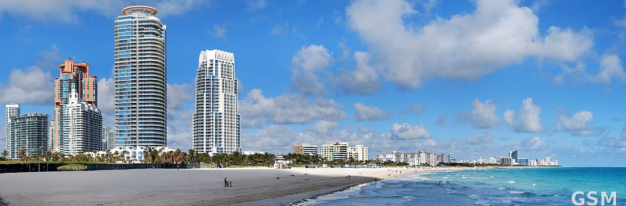
图片来源:Wikimedia Commons,Matt H. Wade 拍摄,CC BY-SA 3.0;图中是迈阿密海滩全景;资料照片,非本事件实拍
GSM Global · 本篇英文版 English edition of this story