阿拉斯加西部海岸冬季风暴逼近:圣劳伦斯岛或现暴风雪,阵风达70英里
美国国家气象局费尔班克斯与安克雷奇办公室11月15日晚发布多个冬季风暴观察,覆盖阿拉斯加州西部白令海沿岸地区:一场强劲的白令海风暴将于周二(11月17日)起影响圣劳伦斯岛、白令海峡、苏厄德半岛、诺顿湾与育空河三角洲一带,带来降雪、大风与沿海洪水风险,观察最长持续至周五(11月20日)下午。
其中圣劳伦斯岛的等级最高:周二下午至周四下午可能出现暴风雪天气,降雪量5至10英寸,东南风阵风可达每小时70英里,吹雪可使能见度降至四分之一英里以下,强风还可能造成停电。白令海峡沿岸、苏厄德半岛南部海岸与内陆、诺顿湾东部一带周二深夜至周五下午降雪1至4英寸,苏厄德半岛南部海岸局地可达4至8英寸,阵风每小时55英里,间歇可能出现暴风雪状况。
育空河三角洲沿岸与育空河下游周二傍晚至周四下午降雪3至6英寸,阵风55英里;诺阿塔克河谷、Kivalina 与鲍德温半岛一带周三上午至周四下午降雪2至4英寸,阵风50英里。安克雷奇办公室对库斯科奎姆河三角洲海岸与 Nunivak 岛发布暴风雪观察:周二下午至晚间降雪1至3英寸,阵风可达65英里,能见度或降至四分之一英里以下,强风可能对输电线路造成大范围损坏。
沿海洪水方面,气象局对育空河三角洲沿岸发布沿海洪水观察:周二深夜至周四下午,水位可能高出正常高潮位3至5英尺,Hooper Bay 一带最高,中度沿海洪水可能淹没低洼的住宅、企业与部分关键基础设施,道路可能关闭;库斯科奎姆河三角洲的 Kipnuk 与 Kwigillingok 周三凌晨3时至上午9时,水位可能高出最高潮位线1至3英尺。气象局提醒居民提前做好防洪准备,不要驾车绕过路障或驶入深度不明的水域,并持续关注最新预报。
(来源:美国国家气象局)
Winter Storm Watches Cover Alaska's Bering Coast, With Blizzard Conditions Possible and Gusts to 70 mph
The National Weather Service offices in Fairbanks and Anchorage issued a series of winter storm watches on the evening of November 15 for Alaska's western Bering Sea coast: a strong Bering storm will affect St. Lawrence Island, the Bering Strait, the Seward Peninsula, Norton Sound and the Yukon Delta starting Tuesday (November 17), bringing snow, high winds and a coastal flooding risk, with some watches running through Friday afternoon (November 20).
St. Lawrence Island faces the most severe conditions: blizzard conditions are possible from Tuesday afternoon through Thursday afternoon, with 5 to 10 inches of snow, southeast gusts to 70 mph, blowing snow that could cut visibility below a quarter mile, and strong winds that could cause power outages. The Bering Strait coast, the southern Seward Peninsula coast and interior, and eastern Norton Sound could see 1 to 4 inches of snow from late Tuesday night through Friday afternoon, with 4 to 8 inches possible locally on the southern Seward Peninsula coast, gusts to 55 mph and intermittent blizzard conditions.
The Yukon Delta coast and Lower Yukon River could pick up 3 to 6 inches from Tuesday evening through Thursday afternoon with gusts to 55 mph, while the Noatak Valley, Kivalina and the Baldwin Peninsula are in for 2 to 4 inches from Wednesday morning through Thursday afternoon with gusts to 50 mph. The Anchorage office issued a blizzard watch for the Kuskokwim Delta coast and Nunivak Island: 1 to 3 inches of snow Tuesday afternoon into the evening, gusts to 65 mph, visibility at or below a quarter mile, and very strong winds that could extensively damage power lines.
On coastal flooding, a watch covers the Yukon Delta coast, where water could rise 3 to 5 feet above the normal high tide line from late Tuesday night through Thursday afternoon, highest around Hooper Bay; moderate coastal flooding could inundate low-lying homes, businesses and some critical infrastructure, and roads may close. At Kipnuk and Kwigillingok on the Kuskokwim Delta coast, water could reach 1 to 3 feet above the highest tide line from 3 a.m. to 9 a.m. Wednesday. The Weather Service urges residents to protect flood-prone property, never drive around barricades or through water of unknown depth, and keep monitoring the latest forecasts.
(Source: National Weather Service)
来源:美国国家气象局
发布:GSM·美国(发布链接)
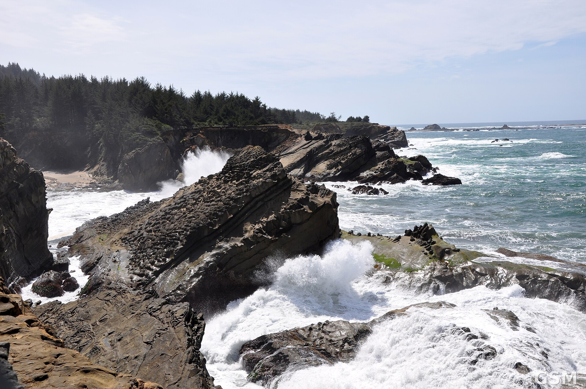
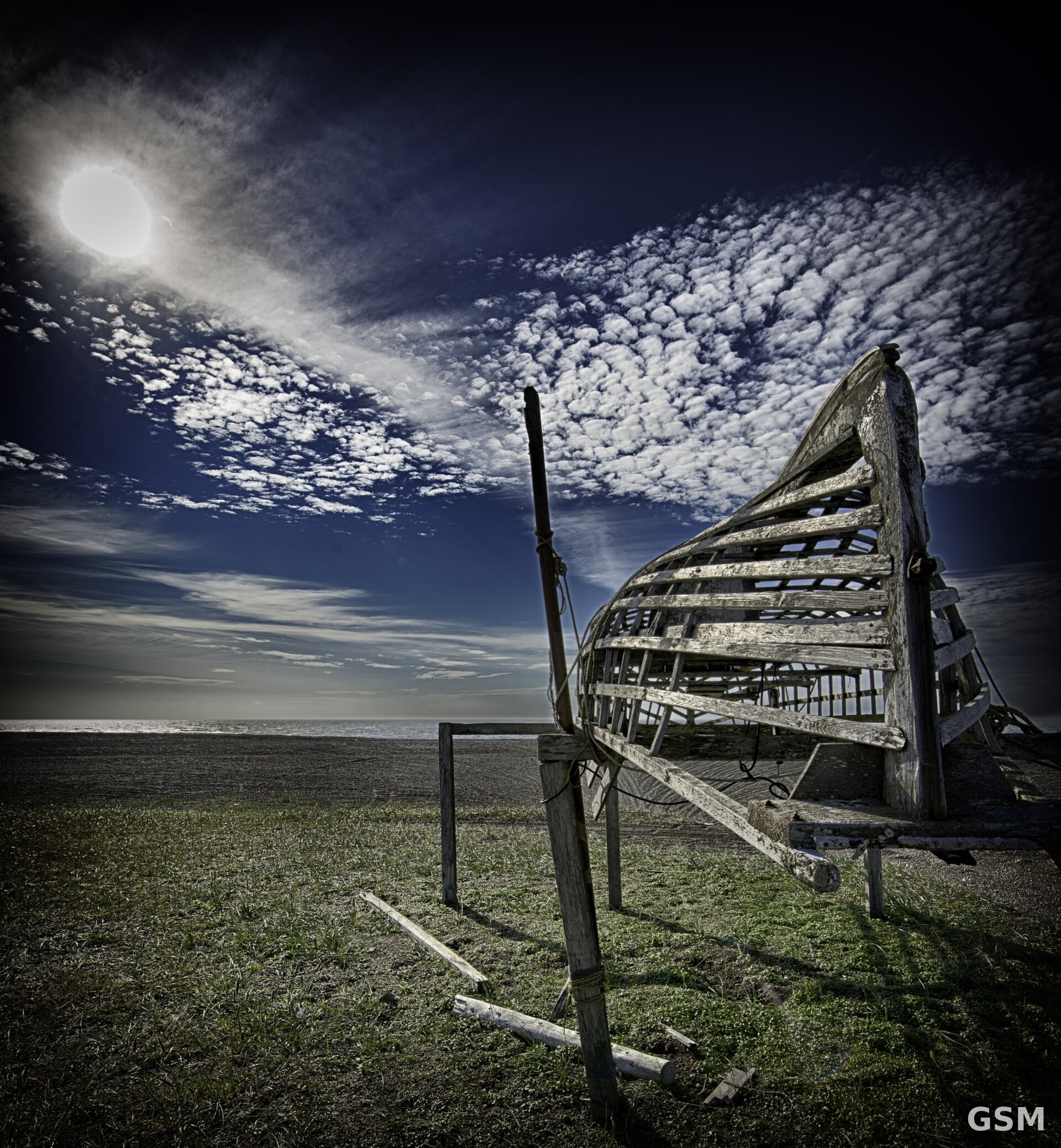
图片来源:圣劳伦斯岛 Gambell 海岸(资料图)。图:美国国家海洋和大气管理局国家海洋局,公共领域,Wikimedia Commons / The coast at Gambell on St. Lawrence Island, Alaska (file photo). Photo: NOAA National Ocean Service, public domain, via Wikimedia Commons
GSM Global · 本篇英文版 English edition of this story