日本石川县穴水町西北约20公里发生5.4级地震:震源深度约274公里、震感弱、无损害报告
美国地质调查局(USGS)测定,日本石川县穴水町西北约20公里处11月16日世界时4时24分发生5.4级地震(事件编号 us7000tyhr),震源深度约274公里,属深源地震。换算为日本当地时间是当天13时24分,美西时间15日晚20时24分。日本气象厅对同一次地震的测定为5.1级、震源深度约280公里,与 USGS 数值略有差异。
由于震源极深,USGS 模型推算的地面最大烈度只有III度(弱),震中一带居民的震感有限;其全球灾害评估系统(PAGER)给出绿色等级,意思是预计不会造成重大人员伤亡与经济损失。此次地震没有引发海啸预警,截至发稿也没有人员伤亡或财产损失的报告。
关联:
秘鲁 Changuillo 以西约95公里海域发生5.4级地震:震源深度约10公里、无海啸预警
(来源:美国地质调查局)
Magnitude 5.4 Earthquake Hits Deep Below Ishikawa, Japan; Weak Shaking, No Damage Reported
A magnitude 5.4 earthquake struck about 20 km northwest of Anamizu in Ishikawa Prefecture, Japan, at 04:24 UTC on November 16, according to the U.S. Geological Survey (USGS event us7000tyhr). At a depth of about 274 km it was a deep-focus quake, equivalent to 1:24 p.m. Japan time and 8:24 p.m. Pacific time on November 15. The Japan Meteorological Agency measured the same event at magnitude 5.1 with a depth of about 280 km, slightly different from the USGS solution.
Because the source was so deep, USGS modelling put the maximum surface shaking at intensity III (weak), and its PAGER system issued a green alert, meaning no significant casualties or damage are expected. No tsunami warning was issued, and no casualties or property damage had been reported as of publication.
Related:
Magnitude 5.4 Earthquake Strikes Off Peru, 95 km West-Southwest of Changuillo; No Tsunami Warning
(Source: U.S. Geological Survey)
来源:美国地质调查局
发布:GSM·美国(发布链接)
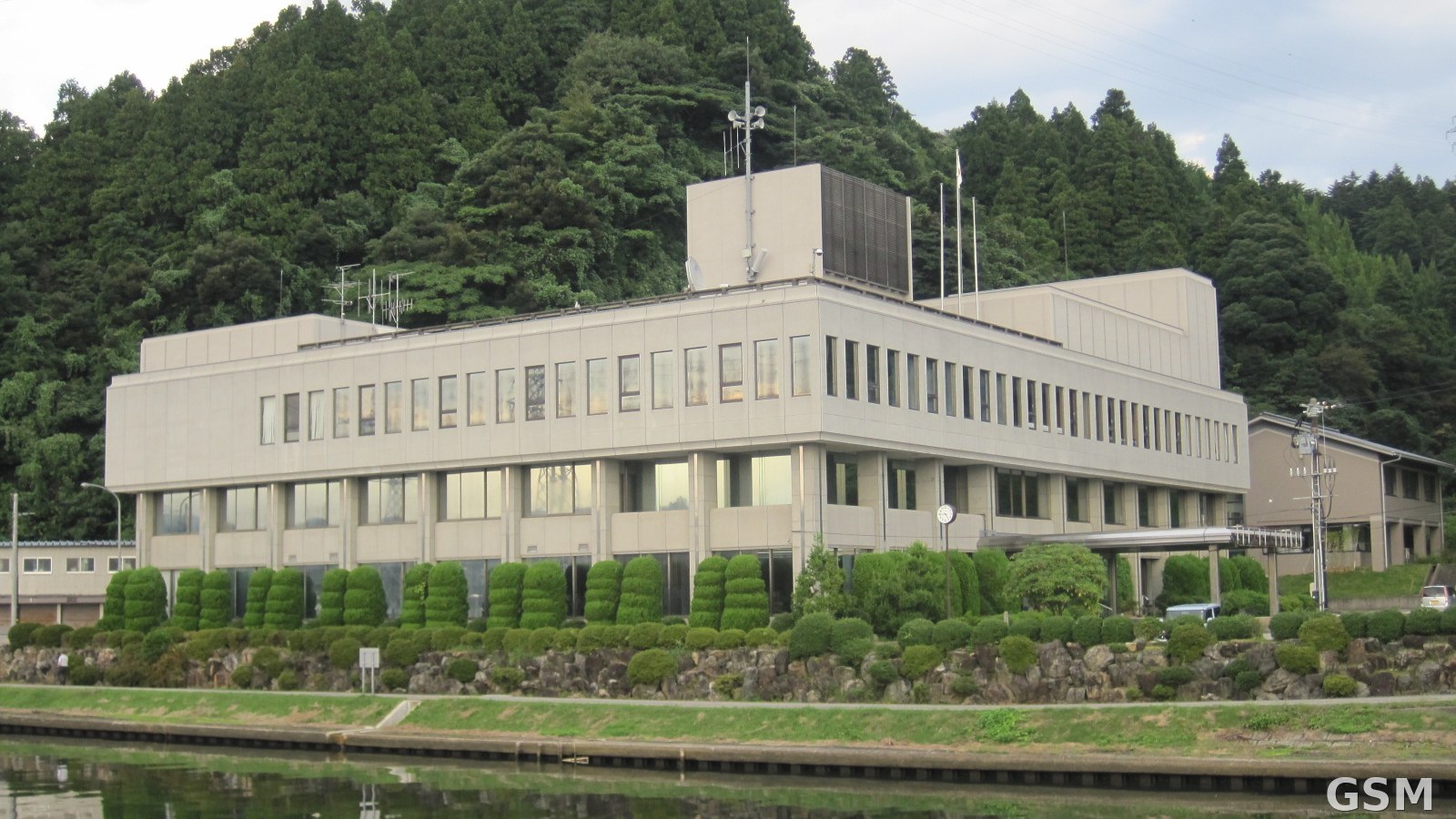
图片来源:图:日本石川县穴水町町役场(资料图),本次深源地震震中位于该町西北约20公里。照片:Hirorinmasa,CC BY-SA 3.0,经 Wikimedia Commons。 / Photo: Anamizu Town Hall in Ishikawa Prefecture, Japan (file photo); the deep earthquake's epicentre was about 20 km northwest of the town. Photo by Hirorinmasa, CC BY-SA 3.0, via Wikimedia Commons.
GSM Global · 本篇英文版 English edition of this story