阿富汗兴都库什地区发生5.0级地震:伊斯兰堡与开伯尔—普什图省震感明显,暂无伤亡报告
阿富汗兴都库什地区发生5.0级地震,巴基斯坦首都伊斯兰堡与开伯尔—普什图省多地深夜震感明显,不少居民跑出家门。美国地质调查局(USGS)测定,地震发生于协调世界时11月15日17时48分(巴基斯坦当地时间22时48分),震中位于阿富汗 Parun 以北约74公里处,震源深度约101公里,USGS 事件编号为 us7000tyfh。
巴基斯坦国家地震监测中心测定的震级为5.3级,震源深度84公里,震中同样位于阿富汗兴都库什地区。两家机构的测定参数略有差异。
开伯尔—普什图省灾害管理局与救援机构表示,地震发生后的最初数小时内,巴基斯坦各地尚未接到人员伤亡或财产损失的报告,相关部门仍在核查情况。
兴都库什地区位于印度板块与欧亚板块碰撞带附近,地震活动频繁,震感常波及阿富汗首都喀布尔与巴基斯坦北部地区。
(来源:美国地质调查局)
Magnitude 5.0 Earthquake in Hindu Kush Jolts Islamabad and Khyber Pakhtunkhwa, No Casualties Reported
A magnitude 5.0 earthquake in Afghanistan's Hindu Kush region shook Pakistan's capital Islamabad and several districts of Khyber Pakhtunkhwa late on Sunday night, sending residents out into the streets. The U.S. Geological Survey (USGS) recorded the quake at 17:48 UTC on November 15 (22:48 Pakistan time), with its epicentre about 74 kilometres north of Parun, Afghanistan, at a depth of around 101 kilometres. The USGS event ID is us7000tyfh.
Pakistan's National Seismic Monitoring Centre put the magnitude at 5.3 and the depth at 84 kilometres, also placing the epicentre in Afghanistan's Hindu Kush region; the two agencies' published parameters differ slightly.
The Khyber Pakhtunkhwa Provincial Disaster Management Authority and rescue agencies said no casualties or property damage had been reported from any part of Pakistan in the initial hours after the quake, and that checks were continuing.
The Hindu Kush lies near the collision zone between the Indian and Eurasian plates and is one of the region's most seismically active areas; tremors from quakes there are frequently felt in Kabul and across northern Pakistan.
(Source: U.S. Geological Survey)
来源:美国地质调查局
发布:GSM·美国(发布链接)
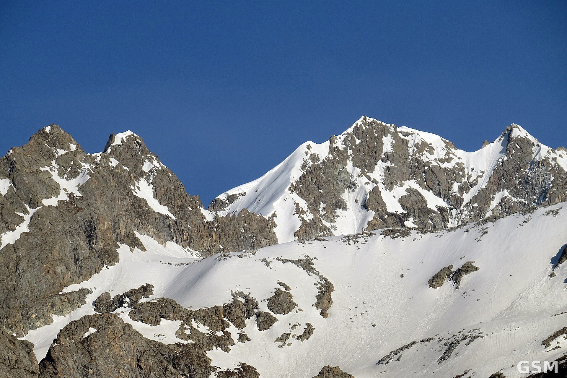
图片来源:图:兴都库什山脉雪峰,本次地震震中位于该山脉阿富汗一侧。Akbar Asif22 摄,CC BY-SA 4.0,经 Wikimedia Commons。 / Photo: Snow-covered peaks of the Hindu Kush, the mountain range on the Afghan side of which the earthquake was centred. Photo by Akbar Asif22, CC BY-SA 4.0, via Wikimedia Commons.
GSM Global · 本篇英文版 English edition of this story