华盛顿州暴雨大风周末登陆,斯考科米什河洪水警报生效
美国国家气象局西雅图办公室11月14日表示,一股锋面系统周六晚至周日横扫华盛顿州西部,带来持续降雨与强风,斯考科米什河已发布洪水警报,沿海地区阵风可达每小时55英里。
气象局对沿海地区与圣胡安群岛发布大风警报,阵风每小时50至55英里,持续至周日凌晨4时;Whidbey Island与Admiralty Inlet一带阵风40至50英里,其余地区风力较弱,阵风25至40英里。锋面带来的弱不稳定能量约150至300焦耳每千克,沿海与奥林匹克半岛一带可能出现局地雷暴。
洪水方面,奥林匹亚、南普吉特海湾、奥林匹克山地与南胡德运河地区处于洪水观察之下,持续至周日上午;圣胡安群岛周日上午8时至中午发布沿海洪水警报。气象局已对斯考科米什河波特拉奇段发布洪水警报,预计周六深夜至周日早晨出现小洪水;其余河流预计未来7天不会泛滥。
沿海水域发布风暴警报,夜间阵风40至50节,海浪20至22英尺,外海可达25英尺,周日早晨回落至15至18英尺。格雷斯港县海岸与华盛顿州北部海岸的高冲浪警报持续至周日上午10时,其后升级为高冲浪警告,持续至周一上午10时。
气温方面,华盛顿州西部周日最高气温在华氏50多度中上段,周一降至50多度低段,锋后阵雨周日仍将持续。
(来源:美国国家气象局西雅图办公室)
Storm Brings Heavy Rain and 55 mph Gusts to Washington as Flood Warning Covers Skokomish River
The National Weather Service office in Seattle said on November 14 that a frontal system sweeping western Washington from late Saturday into Sunday would bring steady rain and strong winds, with a flood warning in effect for the Skokomish River and coastal gusts reaching 55 mph.
A Wind Advisory covers the coast and the San Juan Islands, with gusts of 50 to 55 mph through 4 a.m. Sunday, while Whidbey Island and Admiralty Inlet can expect gusts of 40 to 50 mph and other areas turn breezy at 25 to 40 mph. Weak instability of about 150 to 300 joules per kilogram could also trigger localized thunderstorms along the coast and the Olympic Peninsula.
A Flood Watch runs through Sunday morning for Olympia, the southern Puget Sound lowlands, the Olympics and the southern Hood Canal area, and a Coastal Flood Advisory is in effect for the San Juan Islands from 8 a.m. to noon Sunday. The Skokomish River at Potlatch is under a Flood Warning, with minor flooding forecast from late Saturday night into Sunday morning; no flooding is expected on other rivers over the next seven days.
A Storm Warning covers the coastal waters, where gusts of 40 to 50 knots overnight will build seas of 20 to 22 feet, up to 25 feet offshore, easing to 15 to 18 feet Sunday morning. A High Surf Advisory for the Grays Harbor County coast and the northern Washington coast runs until 10 a.m. Sunday, followed by a High Surf Warning through 10 a.m. Monday.
Highs across western Washington reach the mid-to-upper 50s on Sunday before cooling to the low 50s on Monday, with post-frontal showers lingering through Sunday.
(Source: National Weather Service, Seattle)
来源:美国国家气象局西雅图办公室
发布:GSM·美国(发布链接)
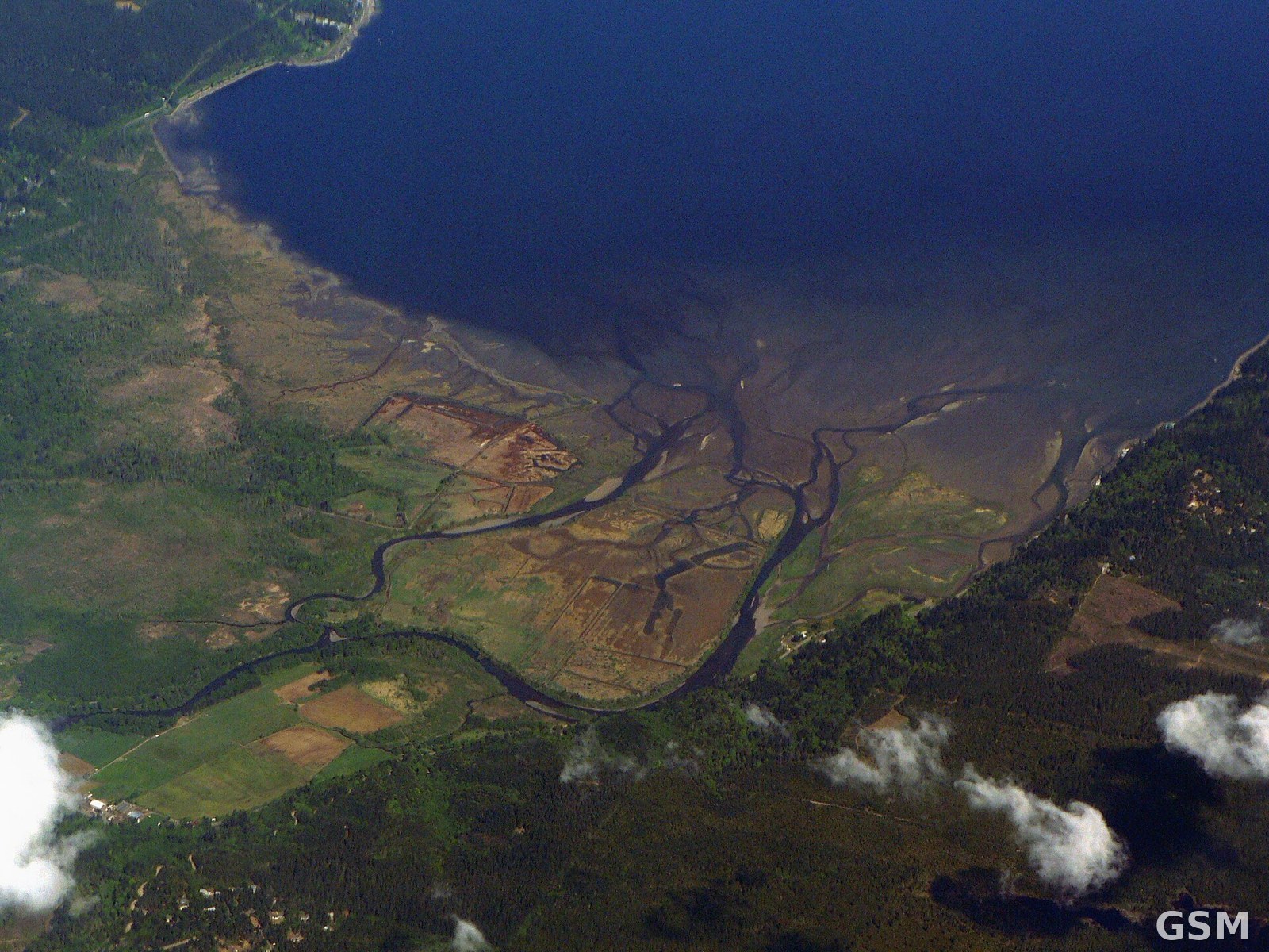
图片来源:斯考科米什河三角洲(资料图)。图:Walter Siegmund 摄,CC BY-SA 3.0,Wikimedia Commons / The Skokomish River Delta (file photo). Photo by Walter Siegmund, CC BY-SA 3.0, via Wikimedia Commons
GSM Global · 本篇英文版 English edition of this story