巴布亚新几内亚卡维恩西北148公里发生5.8级地震,震源深度10公里
美国地质调查局(USGS)测定,巴布亚新几内亚新爱尔兰省卡维恩西北约148公里海域11月12日22时04分(协调世界时)发生5.8级地震,震源深度10公里,震中位于南纬1.588度、东经149.888度(USGS 事件编号 us7000txwp)。
USGS 的 PAGER 灾损评估系统给出绿色等级,意味着出现伤亡和重大经济损失的可能性较低。太平洋海啸预警中心未就此次地震发布海啸警报,当地暂无人员伤亡或财产损失报告。
巴布亚新几内亚位于环太平洋火山带,地壳活动频繁,强震时有发生。
(来源:美国地质调查局)
Magnitude 5.8 Earthquake Strikes 148 km Northwest of Kavieng, Papua New Guinea
The US Geological Survey (USGS) recorded a magnitude 5.8 earthquake 148 kilometres northwest of Kavieng, New Ireland Province, Papua New Guinea, at 22:04 UTC on November 12, at a depth of 10 kilometres. The epicentre was at 1.588°S, 149.888°E (USGS event us7000txwp).
The USGS PAGER impact system issued a green alert, indicating a low likelihood of casualties and significant economic losses. No tsunami warning was issued, and there were no immediate reports of casualties or damage.
Papua New Guinea sits on the Pacific Ring of Fire, where strong earthquakes occur frequently.
(Source: US Geological Survey)
来源:美国地质调查局
发布:GSM·美国(发布链接)
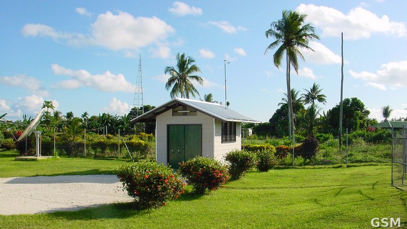
图片来源:巴布亚新几内亚卡维恩的监测站资料图(CTBTO 摄,CC BY 2.0,经 Wikimedia Commons,本站裁切)。File photo of a monitoring station in Kavieng, Papua New Guinea (by CTBTO, CC BY 2.0, via Wikimedia Commons, cropped).
GSM Global · 本篇英文版 English edition of this story