纽约州东部周四至周六迎冷雨:高海拔地区或转湿雪,白天气温只有30至40多华氏度
美国国家气象局 Albany 办公室11月9日晚6时39分发布的预报讨论说,位于纽约州东部的该预报区周四至周六将迎来一个从 Ohio Valley 与阿巴拉契亚山脉北部东移的风暴系统,它随后在中大西洋北部海岸附近或近海重新发展;目前最可能的结果是周四先下雨,周四晚至周五晚、周六清晨,高海拔地区的雨可能混入或转为湿雪。
气象局对这场风暴的路径仍只有低把握度:重新发展的低压走多远、向北伸展到什么程度、东移多快,都会改变降水是雨还是雪、总量多少。集合预报对低压路径的分歧仍很大,后续几天还要盯紧趋势。周四航空展望已标为高影响、降雨概率大,周四晚为降雨转雨夹雪。
冷的程度把握更大。气象局说,周四至周六气温低于常年的把握很高:白天最高气温多在30至40多华氏度,低地夜间最低气温在30多华氏度,高海拔地区降到20多至30多华氏度。
在这场风暴之前,先有两股高空扰动在周一至周二带来阵雨与阵风:周一下午 I-90 以北阵风可达25至35英里/时,周二下午 I-90 以北西南转西风25至35英里/时,高海拔地区阵风可达30至40英里/时。截至周一晚,该预报区内没有任何观察或警告生效,居民可先按冷雨准备,高处的住户多留意临近预报里雨雪转换的说法。(来源:美国国家气象局)
Eastern New York Faces Cold Rain Thursday Into Saturday, With Wet Snow Possible at Higher Elevations and Highs in the 30s and 40s
The National Weather Service office in Albany, New York, said in its forecast discussion issued at 6:39 p.m. EST on Monday, November 9, 2026, that a storm system approaching from the Ohio Valley and the northern Appalachians on Thursday will redevelop near or off the northern Mid-Atlantic coast on Friday, and that the most likely outcome for eastern New York is periods of rain developing Thursday, possibly mixing with or changing to wet snow across higher terrain Thursday night into Friday night and Saturday morning.
Confidence in the storm's track remains low. How far north the redeveloping low tracks, and how quickly it moves east, will determine precipitation type and amounts, and ensemble spread on the low's evolution remains high, so trends will need to be watched as the late-week period approaches. The aviation outlook already rates Thursday as high impact with rain likely, and Thursday night as rain likely, mixing with snow.
Confidence is higher on the cold. The Weather Service said below-normal temperatures are expected Thursday through Saturday, with daytime highs mainly in the 30s and 40s, overnight lows in the 30s at lower elevations, and in the 20s to lower 30s across higher terrain.
Ahead of the storm, a pair of upper-level disturbances brings rain showers and gusty winds through Tuesday: gusts of 25 to 35 mph on Monday afternoon, and on Tuesday afternoon southwest to west winds of 25 to 35 mph north of Interstate 90, with some gusts of 30 to 40 mph over higher terrain. As of Monday evening, no watches, warnings or advisories were in effect for the area. (Source: National Weather Service)
来源:美国国家气象局
发布:GSM·美国(发布链接)
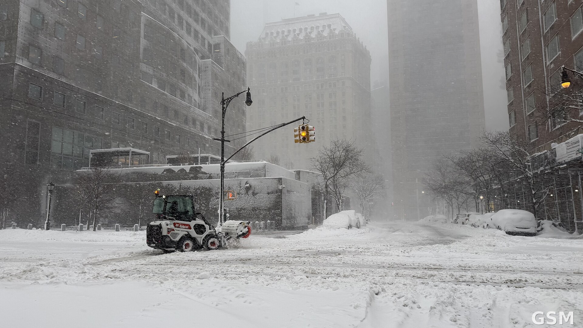
图片来源:图:纽约市曼哈顿 Albany 街一带在暴雪后清雪,纽约州东部本周后期将先迎冷雨、高处转湿雪。Wikimedia Commons 图片(CC BY 4.0)。 / Photo: Snow clearing near Albany Street in Manhattan after a blizzard; eastern New York turns to cold rain this week, with wet snow at higher elevations. Image via Wikimedia Commons (CC BY 4.0).
GSM Global · 本篇英文版 English edition of this story