国家气象局旧金山湾区沿海洪水警报持续至11月13日下午:高潮位可高出地面1.6英尺,旧金山潮位站11月9日上午高潮7.4英尺
加利福尼亚州旧金山—美国国家气象局(NWS)旧金山办公室11月8日下午12时30分发布的预报讨论与沿海灾害信息显示,旧金山湾、圣巴勃罗湾与蒙特雷湾沿岸的潮汐洪水风险将持续至11月13日(星期五)。
沿海洪水警报(Coastal Flood Advisory)对旧金山湾沿岸等区域有效至11月13日下午4时;对另外部分沿岸区域有效至11月10日(星期二)中午。气象局的灾害信息称,低洼近岸与潮汐水道地区可能出现高出地面最高1.6英尺的淹水,高潮将造成低洼基础设施被淹、个别道路封闭与海岸侵蚀。
潮位预测方面,旧金山潮位站的高潮预计11月9日(星期一)上午10时35分达7.4英尺(高于平均低低潮位),高出正常值1.6英尺;11月10日上午11时04分约7.3英尺,11月11日上午11时35分约7.2英尺,11月12日中午12时10分约7.2英尺,11月13日下午12时49分约7.0英尺。气象局说明,这些预测包含最高约1.5英尺的增水效应。
成因方面,气象局称,本轮大潮由天文大潮与高于正常水平的水温造成的热膨胀共同作用。此外,海滩危险声明(Beach Hazards Statement)对相关沿岸区域有效至11月9日晚间。气象局表示,降雨机会已大体后推至11月13日至14日,一个切断低压系统预计自周五至周日推进至南加州或下加利福尼亚一带内陆。
In San Francisco, California, the National Weather Service (NWS) office in San Francisco, in its area forecast discussion and coastal hazard message issued at 12:30 p.m. PST on Sunday, November 8, 202
A Coastal Flood Advisory remains in effect until 4 p.m. PST Friday for Bayshore locations along San Francisco Bay and San Pablo Bay, and until noon PST Tuesday for other shoreline zones. The hazard message said up to 1.6 feet of inundation above ground level is possible in low-lying areas near shorelines and tidal waterways, and that high tides will result in flooding of low-lying infrastructure, isolated road closures, and coastal erosion.
At the San Francisco tide gauge, high tide is expected to be 1.6 feet above normal, at 7.4 feet MLLW, at 10:35 a.m. Monday, November 9; 7.3 feet at 11:04 a.m. Tuesday; 7.2 feet at 11:35 a.m. Wednesday; 7.2 feet at 12:10 p.m. Thursday; and 7.0 feet at 12:49 p.m. Friday. The predictions include up to 1.5 feet of surge, the Weather Service said.
The Weather Service attributed the tides to a combination of high astronomical tides and thermal expansion from warmer-than-normal water. A Beach Hazards Statement is also in effect through Monday evening for the affected shorelines. Rain chances have largely been pushed back to Friday and Saturday, with a cut-off low expected to push inland over Southern California or Baja California from Friday through Sunday.
来源:国家气象局旧金山办公室预报讨论与沿海灾害信息(联邦政府) https://forecast.weather.gov/product.php?site=NWS&issuedby=MTR&product=AFD&format=ci&version=3&highlight=on&glossary=0 ;警报页 https://forecast.weather.gov/showsigwx.php?warnzone=CAZ506&warncounty=CAC041&firewxzone=CAZ506&local_place1=Mill%20Valley%20CA&product1=Flood+Watch&lat=37.9061&lon=-122.544
—-
来源:美国国家气象局(NWS
发布:GSM·美国(发布链接)
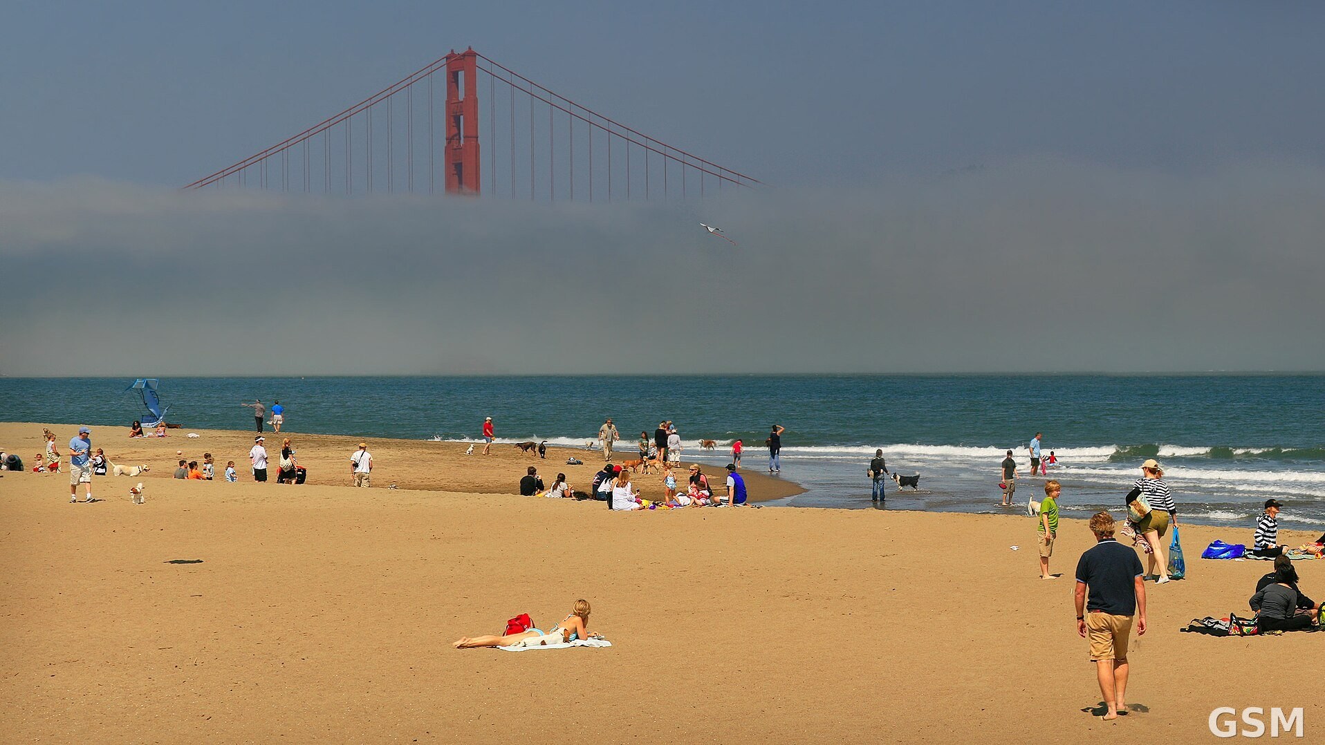
图片来源:旧金山湾区海岸(资料图)。(Wikimedia Commons/CC BY-SA 4.0)|The San Francisco Bay shoreline (file photo). (Wikimedia Commons / CC BY-SA 4.0)
GSM Global · 本篇英文版 English edition of this story