阿拉斯加福尔斯帕斯以南海域发生4.7级地震,暂无损失报告
阿拉斯加州阿留申群岛海域消息:当地时间11月6日凌晨,一场地震发生在福尔斯帕斯市以南约139公里的海域。德国地球科学研究中心(GFZ)最初测定震级为5.0级,震源深度10公里,震中位于北纬53.69度一带;美国地质调查局随后将震级修正为4.7级,震源深度28公里,震中在福尔斯帕斯市东南偏南约139公里处,发震时间为格林尼治时间11月6日2时35分。同一海域在11月5日23时04分还发生了一次4.6级地震,震中位于福尔斯帕斯市东南偏南约147公里处,两次地震相隔约三个半小时。美国地质调查局的地震目录显示,过去30天内该震中周边250公里范围内已记录12次达到报告门槛的地震,其中最大的一次为5.0级。目前没有人员伤亡或财产损失的报告,也没有发布海啸预警。
(来源:美国地质调查局)
Magnitude 4.7 Earthquake Strikes South of False Pass, Alaska; No Damage Reported
An earthquake struck the waters south of False Pass in Alaska's Aleutian Islands early on November 6 local time. The German Research Centre for Geosciences (GFZ) initially measured the quake at magnitude 5.0 with a depth of 10 kilometers, centered near latitude 53.69 degrees north. The U.S. Geological Survey later revised the magnitude to 4.7 with a depth of 28 kilometers, placing the epicenter about 139 kilometers south-southeast of False Pass, at 02:35 UTC on November 6. The same waters had seen a magnitude 4.6 quake at 23:04 UTC on November 5, about 147 kilometers south-southeast of False Pass, roughly three and a half hours earlier. The USGS catalog shows 12 reportable earthquakes within 250 kilometers of the epicenter over the past 30 days, the largest measuring magnitude 5.0. There have been no reports of casualties or property damage, and no tsunami warning was issued.
(Source: U.S. Geological Survey)
来源:美国地质调查局
发布:GSM·美国(发布链接)
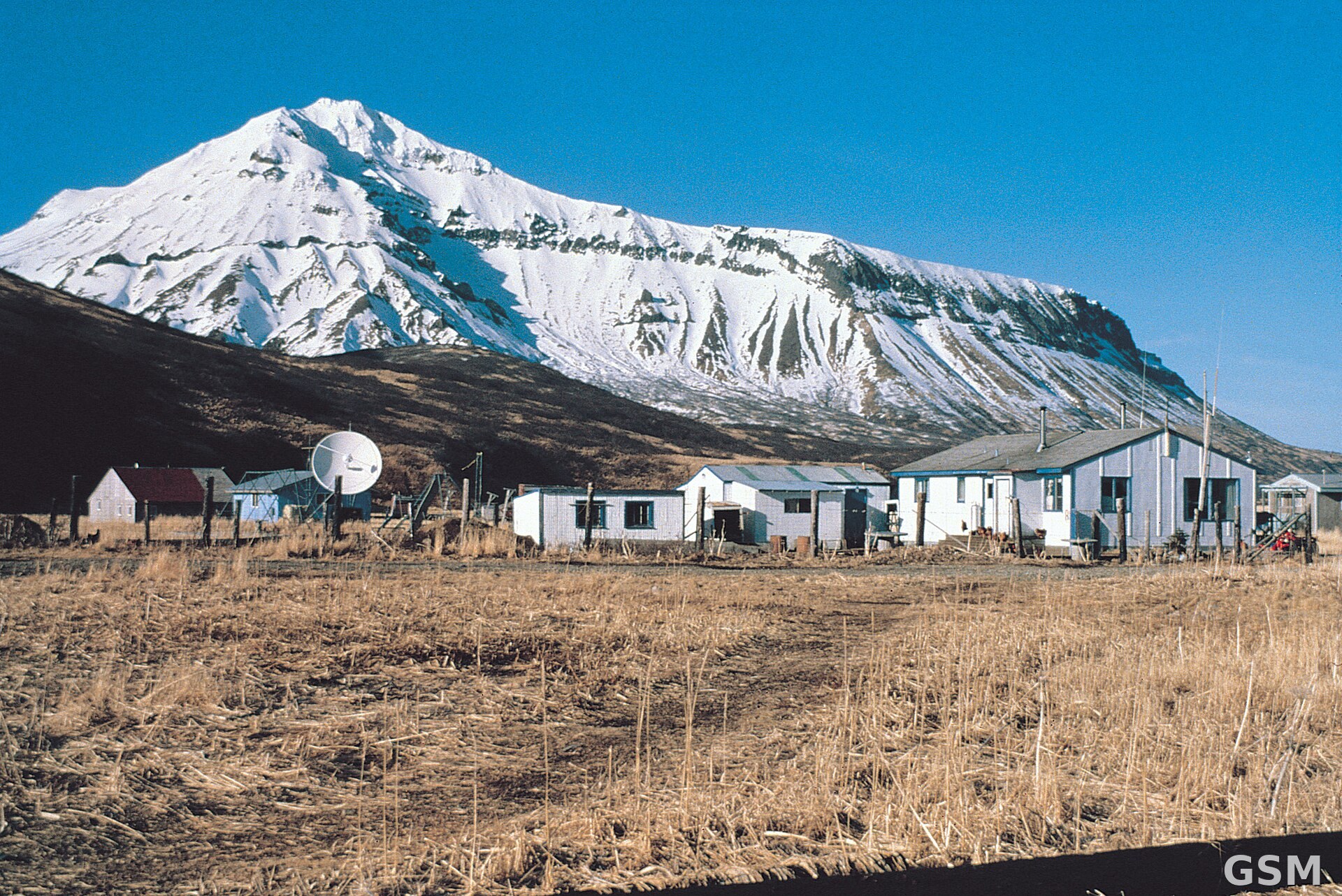
图片来源:图:阿拉斯加州福尔斯帕斯市向北望。图片来源:Wikimedia Commons,公共领域。 / Photo: False Pass, Alaska, looking north. Photo: Wikimedia Commons, public domain.
GSM Global · 本篇英文版 English edition of this story