周五强雷暴边缘风险覆盖卡罗来纳东部与弗吉尼亚东南部:风暴预测中心称或有破坏性阵风
美国国家气象局(NWS)风暴预测中心 11 月 5 日发布的第 2 日强对流天气展望显示,本周五(11 月 6 日),北卡罗来纳州与南卡罗来纳州东部以及弗吉尼亚州东南部处于强雷暴「边缘风险」区,当地可能出现少数强到严重的风暴。这份展望在美中时间 11 月 5 日上午 10 时 53 分发布,有效时段为 11 月 6 日 12 时(UTC)至 11 月 7 日 12 时(UTC)。
中心表示,周五一条地面锋面将自新英格兰南部向西南延伸至佐治亚州中部并向东移动,东海岸大部上空有增强的深层西南气流。锋前暖湿输送使露点升至华氏 60 多度、最北到达弗吉尼亚东南部;中层风速增至 30 至 40 节,有效风切变约 35 至 45 节。沿锋面的对流进入下游湿润气团后,可能组织成有序单体或弓形回波,带来破坏性阵风,也不排除出现短暂的龙卷风。
中心同时指出,由于低层温度递减率较差、不稳定能量有限,这次强对流风险预计较为孤立。同日发布的第 3 日展望显示,周六(11 月 7 日)全美没有强雷暴风险区,预计不会出现强雷暴天气。
Marginal Severe Thunderstorm Risk Friday Across the Eastern Carolinas and Southeast Virginia
The Storm Prediction Center of the National Weather Service (NWS) said in its Day 2 convective outlook on November 5 that a marginal risk of severe thunderstorms covers the eastern Carolinas and southeast Virginia on Friday, November 6, where a few strong to severe storms are possible. The outlook was issued at 10:53 a.m. CST on November 5 and is valid from 12:00 UTC on November 6 to 12:00 UTC on November 7.
A belt of enhanced deep-layer southwesterly flow will be in place across much of the Eastern Seaboard on Friday, the center said, as an upper trough pivots east toward the Atlantic coast and a surface front extending from southern New England to central Georgia shifts eastward. Ahead of the front, dewpoints in the mid-60s Fahrenheit will reach as far north as southeast Virginia. Midlevel flow increasing to around 30 to 40 knots will support effective shear of about 35 to 45 knots as convection along the front moves into the moist downstream air mass, which may support organized cells or bows capable of damaging gusts and perhaps a brief tornado.
The center said the severe risk should remain fairly isolated, given expected poor low-level lapse rates and modest instability. Its Day 3 outlook, issued the same day, forecasts no severe thunderstorm areas on Saturday, November 7, when severe thunderstorms are not expected.
来源:美国国家气象局风暴预测中心
发布:GSM·美国(发布链接)
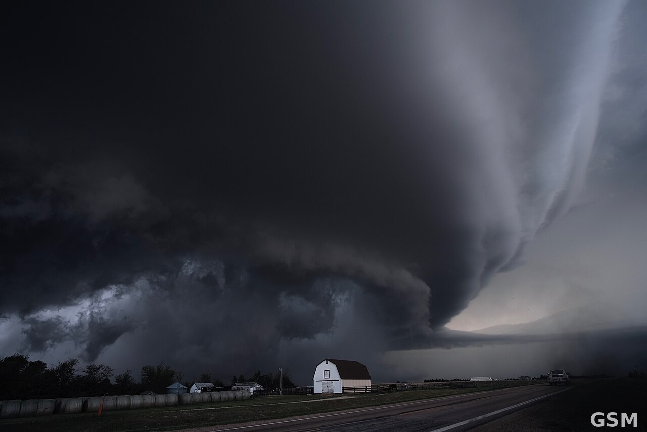
图片来源:图:超级单体雷暴资料图(Kansas)。摄影 NOAA 国家强风暴实验室,公共领域,来源 Wikimedia Commons。 / Photo: A supercell thunderstorm in Kansas (representative image). Photo by the NOAA National Severe Storms Laboratory, public domain, via Wikimedia Commons.
GSM Global · 本篇英文版 English edition of this story