阿拉斯加州阿留申东自治市镇福尔斯帕斯市以南海域10月29日发生5.0级地震:震源深15.6公里、暂无海啸报告
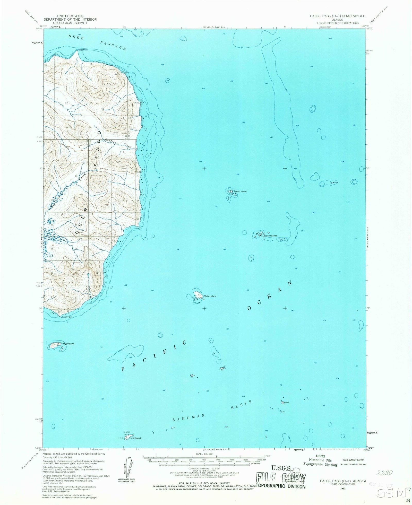
阿拉斯加州阿留申东自治市镇福尔斯帕斯市以南约143公里的海域10月29日发生5.0级地震,震源深度15.6公里。美国地质调查局的记录显示,此次地震发生于协调世界时10月29日20时14分,相当于阿拉斯加时间当天中午12时14分,震中位于北纬53.58度、西经163.03度一带,属浅源地震。地震快照标注的海啸标记为“未报告”。福尔斯帕斯市位于阿拉斯加半岛西南端的阿留申群岛链上,震中海域远离人口密集区,模型估算的震感强度为弱到轻度。阿拉斯加地处环太平洋地震带,地震活动频繁,地质调查部门会持续复核震级与震源深度等参数。
Aleutians East Borough, Alaska: Magnitude 5.0 Earthquake South of False Pass on Oct. 29: Depth 15.6 km, No Tsunami Reported
A magnitude 5.0 earthquake struck on October 29 in waters about 143 kilometers south of False Pass in Alaska's Aleutians East Borough, at a depth of 15.6 kilometers. U.S. Geological Survey records show the quake occurred at 20:14 Coordinated Universal Time on October 29, equivalent to 12:14 p.m. Alaska time that day, with an epicenter near latitude 53.58 degrees north and longitude 163.03 degrees west, a shallow-focus earthquake. The earthquake snapshot listed the tsunami flag as 'not reported.' False Pass lies on the Aleutian chain at the southwestern end of the Alaska Peninsula, the epicentral waters are far from densely populated areas, and modeled shaking intensity was weak to light. Alaska sits on the Pacific Ring of Fire with frequent seismic activity, and geological survey agencies will continue to review parameters such as magnitude and depth.
来源:GSM·美国(原文链接)
图片来源:Wikimedia Commons 的 USGS 福尔斯帕斯地区地形图文件页;震中海域资料图,发布前复核授权行(Wikimedia Commons,授权 Public domain,作者 USGS)