北卡罗来纳州邦科姆县阿什维尔市“迪克西”分界地图10月29日上拍:梅森-迪克森线手绘原图估价80万至120万美元
北卡罗来纳州邦科姆县阿什维尔市的布伦克拍卖行10月29日以直播方式拍卖一幅手绘的梅森-迪克森线地图,这幅地图曾划定美国南北分界,被称为美国历史上最具影响力的地图之一。
拍卖行副总裁劳伦·布伦克介绍,这幅地图长76英寸、高6.5英寸,衬底为亚麻布,现已用日本和纸重新托裱,估价在80万至120万美元之间。
这幅地图最初由查尔斯·梅森和耶利米·迪克森测绘,本意是解决马里兰与宾夕法尼亚两个殖民地之间的边界纠纷,后在1820年《密苏里妥协案》中被用作自由州与蓄奴州的分界线,“迪克西”一词也由此而来。地图绘制后不久即归于宾夕法尼亚创始人威廉·佩恩后代的代理律师本杰明·丘家族,直到1982年由已故出版商马尔科姆·福布斯以36万美元拍得,当时创下美国地图拍卖最高价纪录。
Hand-Drawn Mason-Dixon Line Map Goes to Auction in Asheville, Buncombe County, North Carolina on October 29: Estimate $800,000 to $1.2 Million
Brunk Auctions in Asheville, Buncombe County, North Carolina, offered a hand-drawn map of the Mason-Dixon Line at a live auction on October 29. The map once marked the dividing line between North and South and is regarded as one of the most influential maps in American history.
Lauren Brunk, the auction house's vice president, said the map measures 76 inches long by 6.5 inches high, is backed with linen, and has been remounted on Japanese washi paper; its estimate is between $800,000 and $1.2 million.
The map was originally surveyed by Charles Mason and Jeremiah Dixon to settle a boundary dispute between the colonies of Maryland and Pennsylvania, and was later used in the Missouri Compromise of 1820 as the line between free states and slave states, the origin of the term 'Dixie.' Soon after it was drawn, the map passed to the Chew family, agents and attorneys for the descendants of Pennsylvania founder William Penn, until the late publisher Malcolm Forbes bought it in 1982 for $360,000, then a record price for an American map at auction.
来源:GSM·美国(原文链接)
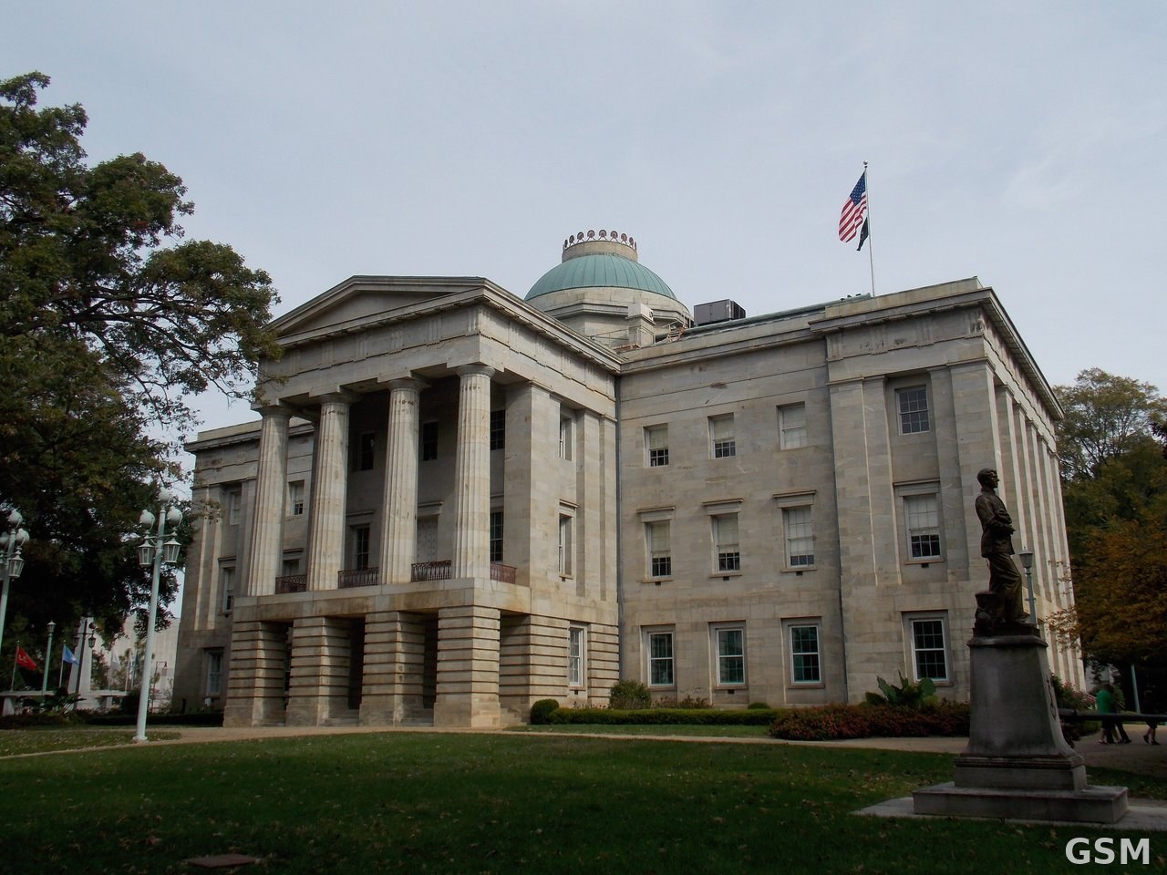
图片来源:北卡罗来纳州议会大厦,位于罗利。 / The North Carolina State Capitol in Raleigh.