海军演示无人机无GPS舰上自主降落:靠机载相机与软件在颠簸舰面回收 软件将转入舰队测试
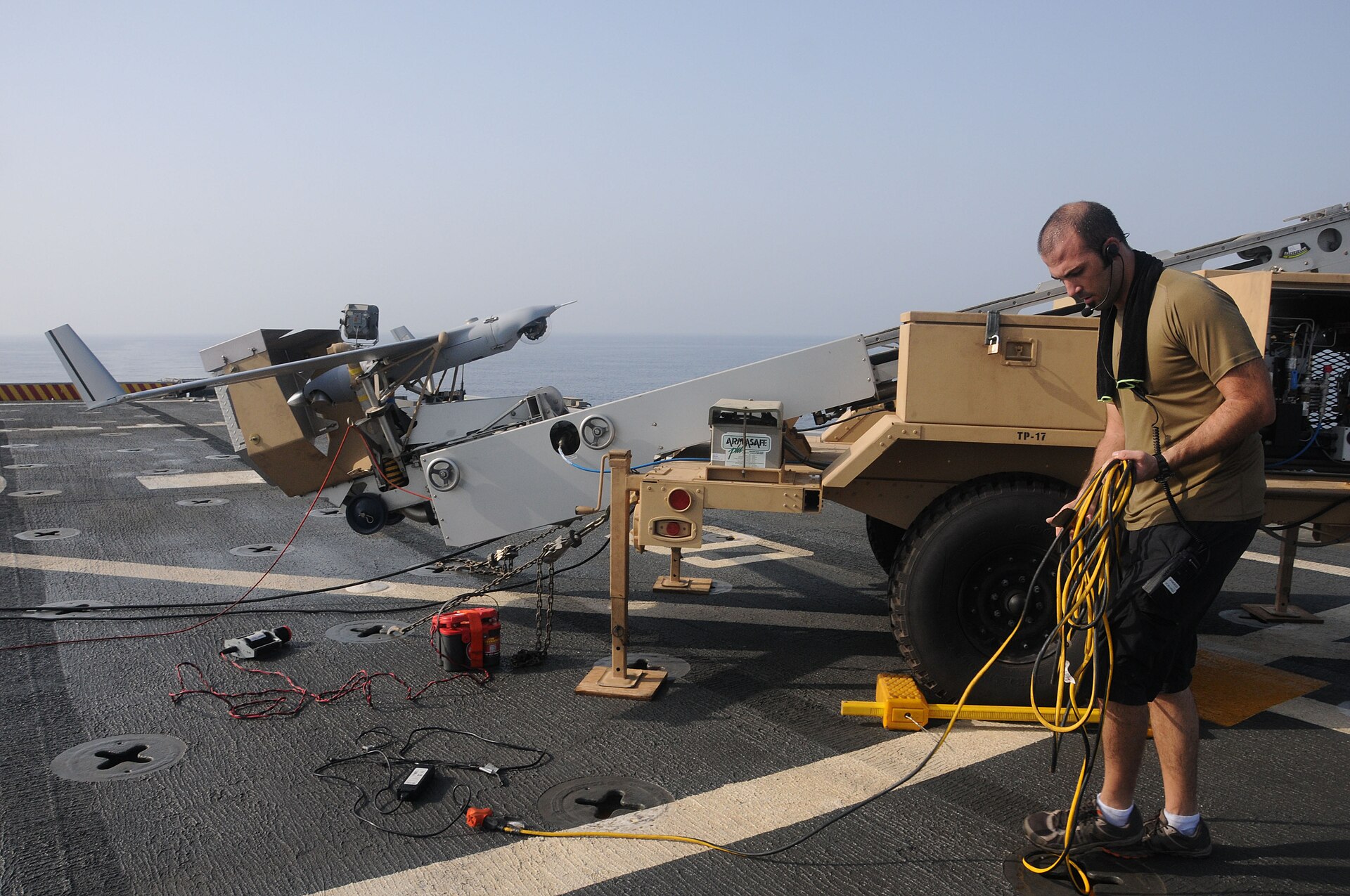
Patuxent River——美国海军航空系统司令部下属的海军航空作战中心飞机分部(NAWCAD)10月宣布,该部已成功证明:一架战术无人机可以在没有 GPS、没有飞行员操控的情况下执行任务飞行,并自主降落在海上颠簸的舰船甲板上。该系统仅依靠无人机自身的商用标准相机、运动传感器与机载软件工作。
NAWCAD 介绍,其海上自主实验室开发的制导、导航与控制软件让无人机像飞行员一样用相机识别舰体形状与视觉标记,并实时预测甲板起伏运动,从而平稳着舰。传统舰上回收方式依赖数百万美元的雷达系统、甲板回收设备与耗时数月的舰体改装;新方案以软件升级替代硬件改装,可适配从小型战术四旋翼到大型作战级无人机的各类平台。
NAWCAD 指挥官、海军少将 Todd Evans 表示:「在卫星与通信受干扰的对抗环境中,自主能力给我们的水兵带来显著优势,这类突破能帮助我们快速、经济地把无人能力扩展到分布式舰队。」航空工程师 Peter Arslanian 说:「在高端海上冲突中,GPS 是对手首先试图切断的一环。」NAWCAD 称,该软件已准备好在舰队平台上进行实装测试,并正向海军小型战术无人机项目、协同作战飞机项目与国防高级研究计划局(DARPA)的 EVADE 项目移交。
信息来源:美国海军 NAWCAD 发布(经 Marine Log、MilitarySpot 等转载)
Navy Demonstrates Drone Landing on Pitching Ship Without GPS or a Pilot
PATUXENT RIVER, Md. — The Naval Air Warfare Center Aircraft Division (NAWCAD) announced in October that it has proved an unmanned system can fly mission tasks and land aboard a Navy ship at sea without GPS or pilot control, using only the aircraft's own commercial-standard cameras, motion sensors and onboard software.
Guidance, navigation and control software developed by NAWCAD's maritime autonomous lab lets the aircraft recognize a ship's shape and visual cues through its camera — the way a human pilot would — while algorithms predict the deck's movements in real time for a smooth touchdown on a pitching vessel. Traditional shipboard recovery relies on multimillion-dollar radar systems, flight-deck recovery gear and ship modifications that can take months to install; the new approach replaces that hardware with a software upgrade and can support unmanned systems of all sizes, from small tactical quadcopters to large combat-class aircraft.
"In contested areas where satellites and communications are jammed, autonomy gives significant advantage to our sailors," said Rear Adm. Todd Evans, NAWCAD's commander. "Breakthroughs like this help us scale unmanned capability fast and affordably across a distributed fleet." Aerospace engineer Peter Arslanian added: "In a high-end maritime conflict, GPS is the first operational link an adversary attempts to sever." NAWCAD said the software is ready for operational testing on fleet platforms and is transitioning to the Navy's small tactical unmanned aircraft program, the Collaborative Combat Aircraft program and DARPA's EVADE project.
Source: U.S. Navy NAWCAD release, via Marine Log and MilitarySpot
发布:GSM·美国(发布链接)
图片来源:图:与报道主题相关的资料照片。图片来源:Wikimedia Commons 开放授权。Photo: File photo, via Wikimedia Commons.
GSM Global · 本篇英文版 English edition of this story