汤加以西海域发生7.5级深源地震,为2026年以来全球最强地震
2026年3月24日,美国地质调查局(USGS)记录到南太平洋汤加王国以西海域发生7.5级地震,震中位于汤加瓦瓦乌群岛 Neiafu 以西约166公里处,时间为协调世界时4时37分(汤加当地时间3月24日16时37分),震源深度约229.5公里,属深源地震。这也是2026年以来全球录得的最强地震,USGS 初报为7.6级,其后修正为7.5级。
由于震源很深,USGS 的 PAGER 系统给出绿色警报,意为震动造成人员伤亡与经济损失的风险较低。美国海啸预警系统评估,这次地震不构成海啸威胁;汤加气象部门曾向全国各岛链发布海啸警报并呼吁民众向高处转移,约两小时后解除,当时未有海啸波或损坏的报告。主震之后,当地又录得数次余震,其中一次为5.2级。
汤加所在的汤加—克马德克俯冲带是全球地震最活跃的板块边界之一,深源地震在当地并不罕见。
关联:路易斯安那州发生4.9级地震,为该州陆上有记录以来最强
Magnitude 7.5 Deep Earthquake West of Tonga Is the Strongest Worldwide So Far in 2026
On March 24, 2026, the U.S. Geological Survey (USGS) recorded a magnitude 7.5 earthquake in the South Pacific west of the Kingdom of Tonga. The epicenter was about 166 kilometers west of Neiafu, in Tonga's Vava'u islands, at 04:37 UTC (16:37 local time in Tonga), at a depth of about 229.5 kilometers, making it a deep-focus earthquake. It was the strongest earthquake recorded worldwide so far in 2026; USGS initially reported it as magnitude 7.6 before revising it to 7.5.
Because of the great depth, the USGS PAGER system issued a Green alert, meaning a low risk of shaking-related fatalities and economic losses. The U.S. Tsunami Warning System assessed that the earthquake posed no tsunami threat. Tonga's meteorological service issued a tsunami warning across the island chain and urged people to move to higher ground; the warning was lifted about two hours later, with no reports of tsunami waves or damage at the time. Several aftershocks followed, including one of magnitude 5.2.
The Tonga segment of the Tonga-Kermadec subduction zone is one of the most seismically active plate boundaries in the world, and deep-focus earthquakes are not uncommon there.
Related: Magnitude 4.9 Earthquake in Louisiana Is the Strongest Ever Recorded Onshore in the State
来源:美国地质调查局
发布:GSM·美国(发布链接)
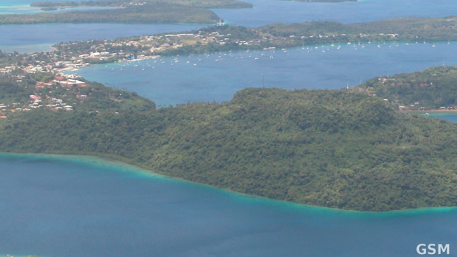
图片来源:图:汤加瓦瓦乌群岛 Neiafu 及其海港的空中俯瞰(资料照片),本次7.5级地震震中位于 Neiafu 以西约166公里海域。Heiko Bammann 摄,公共领域,经 Wikimedia Commons。 / Photo: An aerial view of Neiafu and its harbour in Tonga's Vava'u islands (file photo); the magnitude 7.5 earthquake was centered about 166 kilometers west of Neiafu. Photo by Heiko Bammann, public domain, via Wikimedia Commons.
GSM Global · 本篇英文版 English edition of this story