安克雷奇迎本季首场像样降雪 冬季天气预警至15日晚间
美国国家气象局安克雷奇办公室11月15日发布冬季天气预警,阿拉斯加州最大城市安克雷奇迎来本季首场像样降雪,预警持续至当晚10时(阿拉斯加标准时间)。气象部门预报,安克雷奇市区15日上午降雪、下午仍有降雪可能,新增积雪最多2英寸,山区与鹰河一带最多3英寸,气温从20多华氏度缓慢回升至冰点附近。
安克雷奇本季至今仅有0.9英寸降雪,比正常水平少9英寸以上,这场雪将迅速改变路面状况,也是南中部今冬首场规模较大的降雪。气象部门提醒,降雪后气温回升,晚间局部地区可能出现轻微冻雨,出行前应查询最新路况。同一轮风暴还给南中部山区带来更强降雪,吉尔伍德与波蒂奇一带预计6至12英寸,惠蒂尔阵风可达每小时40英里,惠蒂尔与切内加等地也在同一预警范围内。气象部门预计16日天气转暖,降雨可能接替降雪,提醒居民留意后续预报。
Anchorage Sees First Real Snow of the Season as Winter Weather Advisory Runs Through Sunday Night
The National Weather Service office in Anchorage issued a winter weather advisory for Sunday, November 15, as Alaska's largest city sees its first significant snowfall of the season. The advisory runs through 10 p.m. AKST. Forecasters expect snow in the morning with a chance of more in the afternoon, with up to 2 inches of accumulation in Anchorage and up to 3 inches in the hillside and Eagle River areas. Temperatures were forecast to climb from the mid-20s toward freezing. Anchorage has recorded only 0.9 inches of snow so far this season, more than 9 inches below normal, so even a modest storm will change road conditions quickly, and this is the first significant snowfall of the season for Southcentral Alaska. Forecasters warned that light freezing rain is possible late in the day as temperatures warm, and urged travelers to check the latest conditions before heading out. The same storm is bringing heavier snow to Southcentral mountain areas, with 6 to 12 inches expected around Girdwood and Portage and gusts to 40 mph in Whittier. Warmer weather is expected on Monday, with rain possibly replacing snow, and residents are urged to watch for updated forecasts.
来源:美国国家气象局
发布:GSM·美国(发布链接)
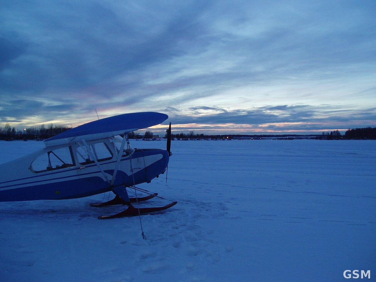
图片来源:图中是阿拉斯加州安克雷奇附近雪地里的飞机;资料照片,非本事件实拍。来源:Wikimedia Commons,Jmkdouglas 拍摄,CC BY-SA 4.0
GSM Global · 本篇英文版 English edition of this story