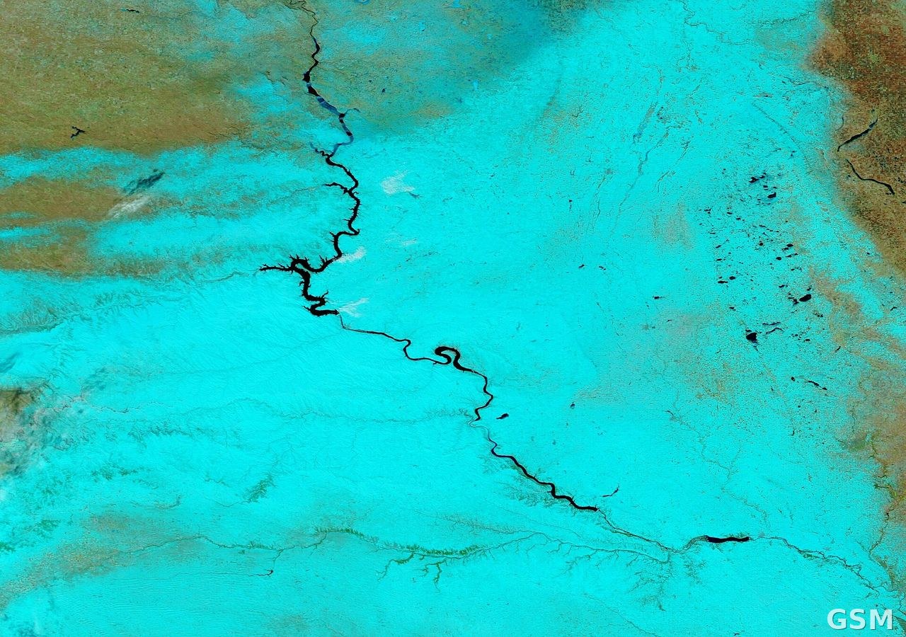
阿拉斯加北极海岸暴风雪预警生效 乌特恰格维克阵风60英里能见度不足半英里
美国国家气象局发布暴风雪预警,阿拉斯加州北极海岸地区迎来强风暴雪天气,预警持续至11月15日早晨7时(阿拉斯加标准时间)。预警覆盖北极海岸地区,包括乌特恰格维克市,以及中部与东部波弗特海沿岸。气象部门预报,阵风最高可达每小时60英里,新增降雪最多2英寸,强风卷起积雪,能见度一度不足半英里,出行条件极其危险。
气象部门敦促当地居民除紧急情况外不要出行,必须出行者应随车携带冬季应急物资,车辆一旦受困应留在车内等待救援。按气象部门定义,暴风雪指降雪或风吹雪使能见度降至四分之一英里以下、持续至少3小时,同时持续风速至少每小时35英里或阵风频繁达到每小时35英里以上。
气象部门提醒,即便预警到期后,沿岸地区仍将面临危险天气,居民应继续留意最新预报,谨慎安排出行。
Blizzard Warning in Effect for Alaska's Arctic Coast as 60 mph Gusts Cut Visibility Near Utqiagvik
The National Weather Service has issued a blizzard warning for Alaska's northern coast, with the warning in effect through 7 a.m. AKST on Sunday, November 15. The warning covers the Northern Arctic Coast, including Utqiagvik, as well as the central and eastern Beaufort Sea Coast. Forecasters expect winds gusting as high as 60 mph and up to 2 inches of additional snow. Blowing snow could reduce visibility to less than one-half mile at times, creating dangerous travel conditions.
The Weather Service is urging residents to restrict travel to emergencies only and to avoid travel if at all possible. Anyone who must travel should carry a winter survival kit, and motorists who become stranded should remain inside their vehicles. A blizzard warning means falling or blowing snow reduces visibility to one-quarter mile or less for at least three hours, with sustained winds of at least 35 mph or frequent gusts of 35 mph or higher.
Even after the warning expires, hazardous conditions are expected to linger along the coast.
发布:GSM·美国(发布链接)
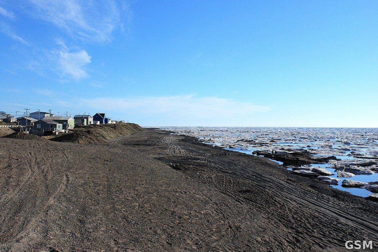
图片来源:图中是阿拉斯加州乌特恰格维克(旧称巴罗)北极海岸;资料照片,非本事件实拍。来源:Wikimedia Commons,Andrei 拍摄,CC BY 2.0
GSM Global · 本篇英文版 English edition of this story