斐济地区发生5.5级地震:震源深度约470公里,USGS事件编号us7000tyca
据美国地质调查局 USGS 实时事件记录,斐济地区于世界时11月15日05时15分发生5.5级地震,震源深度约469.9公里,震中位于南纬19.5554度、西经177.8215度,USGS 事件编号为 us7000tyca。
这次地震震源很深。USGS 当日另一场被记录的5.5级地震发生在菲律宾 Union 以东(事件编号 us7000tyek),与本场是两个不同的事件。
截至发稿,USGS 记录中未见本场地震引发海啸的标注。本稿只写 USGS 已确认的震级、时间、深度与位置,伤亡与损失情况以当地后续官方通报为准。
(来源:美国地质调查局 USGS)
Magnitude 5.5 Earthquake Strikes Fiji Region at Depth of About 470 km, USGS Event us7000tyca
According to the U.S. Geological Survey's real-time event record, a magnitude 5.5 earthquake struck the Fiji region at 05:15 UTC on November 15, at a depth of about 469.9 km, centred at 19.5554 degrees south latitude and 177.8215 degrees west longitude. The USGS event ID is us7000tyca.
The earthquake was very deep. A separate magnitude 5.5 earthquake recorded by USGS the same day struck east of Union in the Philippines (event us7000tyek); the two are distinct events.
As of publication, the USGS record carried no tsunami notation for this event. This report covers only the magnitude, time, depth and location confirmed by USGS; any casualties or damage will follow local official updates.
(Source: U.S. Geological Survey (USGS))
来源:美国地质调查局 USGS
发布:GSM·美国(发布链接)
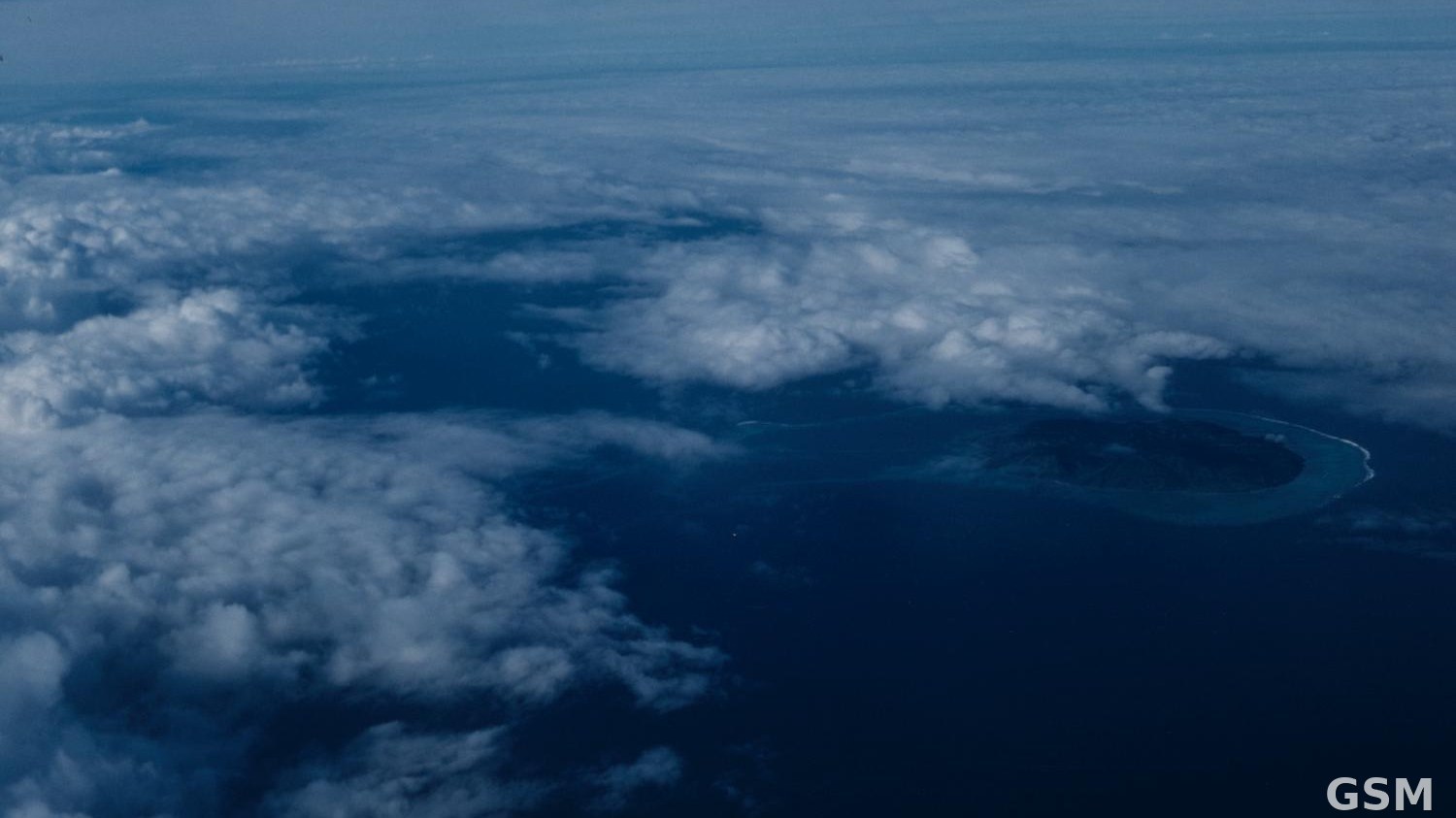
图片来源:图:斐济劳群岛(Lau Islands)海岸航拍(资料图)。照片:Sherwin John Carlquist 摄,CC BY 4.0,经 Wikimedia Commons,本图已预裁为 16:9。 / Photo: Aerial view of an island coastline in the Lau Islands, Fiji (file photo). Photo by Sherwin John Carlquist, CC BY 4.0, via Wikimedia Commons; pre-cropped to 16:9.
GSM Global · 本篇英文版 English edition of this story