纽约沿海低压滞留至周五:降雨再下0.25至0.5英寸,长岛南岸防轻微潮汛
美国国家气象局纽约办公室11月13日凌晨发布的区域预报讨论说,盘踞在长岛东南方向海面上的低压系统正缓慢向东撤离,纽约市及周边地区周五白天仍有间歇性的小到中雨,傍晚前后各地降雨逐渐收尾。
气象局预计,这一轮的追加降雨量不大,普遍在0.25至0.5英寸之间,引发新一轮洪水的强降雨威胁已经结束。纽约市以北和以西的山丘地带,降雨可能混入湿雪或转为湿雪,但即使出现也不会形成积雪。
受11月9日新月和这股沿海低压的共同影响,长岛南岸在周五白天的涨潮时段可能再出现一轮轻微沿海洪水。气象局已对 Nassau 县和 Suffolk 县南岸发布沿海洪水提示,有效时段为上午9时至下午3时,另一片水域的提示为上午7时至下午1时。
海上风浪仍然不小。气象局对全部洋面水域发布的大风警报持续到周五傍晚6时,阵风可达35至40节,海浪5至8英尺;非洋面水域执行小型船只提示,阵风25至30节。
航空方面,气象局预计纽约都会区各机场航站楼(包括肯尼迪、拉瓜迪亚和纽瓦克机场)周五上午到下午以仪表飞行气象条件为主,阵风20至25节,傍晚后飞行条件转好。
气象局说,一个范围广大的高压系统将在周末自西向东压过来,纽约地区从周末到下周大部分时间将迎来一段持续的干燥天气,气温先低于常年,随后回到常年水平附近。
(来源:美国国家气象局)
Coastal Low Lingers Off New York Through Friday: Another 0.25 to 0.5 Inch of Rain, Minor Flooding on Long Island South Shore
In its area forecast discussion issued in the early hours of November 13, the National Weather Service office in New York said the low pressure system sitting just southeast of Long Island is slowly pulling east and offshore, with periods of light to moderate rain continuing across New York City and nearby areas through Friday afternoon before tapering everywhere by evening.
The weather service expects additional rainfall to be light, generally between a quarter and a half inch, and said the risk of heavier downpours that could renew any flood threat has ended. Rain could mix with or change to wet snow across the hills well north and west of the city, with no accumulation expected if it occurs.
Driven by the November 9 new moon and the coastal low, another round of minor coastal flooding is possible along the south shore of Long Island during Friday's daytime high tide cycle. A Coastal Flood Advisory is in effect for the south shore of Nassau and Suffolk counties from 9 a.m. to 3 p.m., with another advisory running from 7 a.m. to 1 p.m.
Marine conditions remain rough. A Gale Warning stays in effect for all ocean waters through 6 p.m. Friday, with gusts of 35 to 40 knots and seas of 5 to 8 feet, while a Small Craft Advisory covers the non-ocean waters with gusts of 25 to 30 knots.
For aviation, the weather service expects IFR conditions to be probable at the New York metro terminals, including Kennedy, LaGuardia and Newark, through Friday afternoon, with gusts of 20 to 25 knots, improving late in the day.
A sprawling area of high pressure builds in for the weekend, the forecasters said, bringing an extended stretch of dry weather through much of next week, with temperatures starting below normal before moderating.
(Source: National Weather Service)
来源:美国国家气象局
发布:GSM·美国(发布链接)
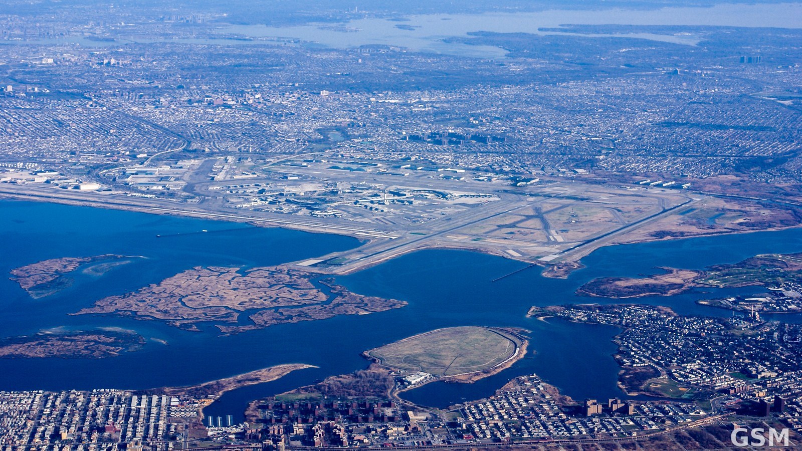
图片来源:图片来源:Wikimedia Commons 开放授权航拍资料图,图中为纽约肯尼迪国际机场及周边水域 Image: Wikimedia Commons (open license), aerial file photo of New York's JFK airport area
GSM Global · 本篇英文版 English edition of this story