NOAA提议开放太平洋偏远岛屿纪念区外围海域:50至200海里专属经济区拟恢复商业捕捞
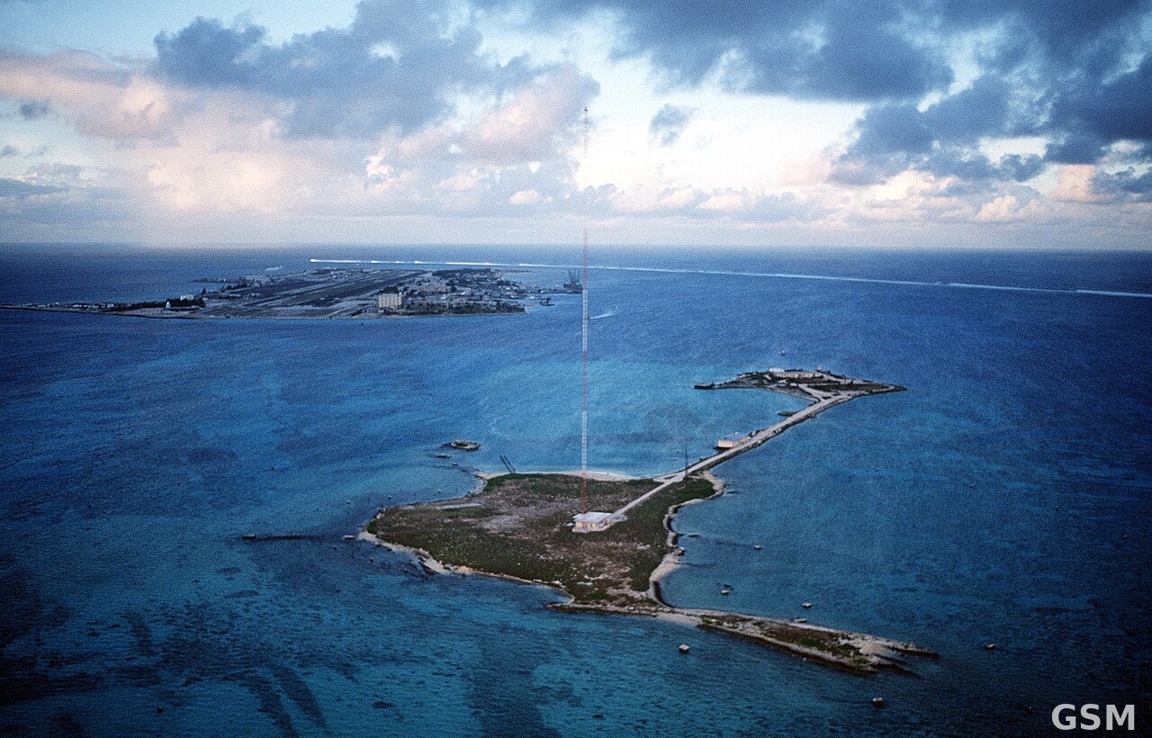
美国国家海洋和大气管理局(NOAA)渔业局11月9日在《联邦公报》发布拟议规则,提议取消太平洋偏远岛屿海洋国家纪念区扩围海域的商业捕捞禁令。涉及海域是约翰斯顿环礁、威克岛和贾维斯岛周边50至200海里(约93至370公里)的美国专属经济区,意见征询期至12月9日截止。
按拟议规则,50海里以内的核心保护水域禁令保持不变;50至200海里之间则恢复商业捕捞,但所有作业仍须遵守《马格努森-史蒂文斯渔业保护和管理法》等现行联邦渔业法规。预期恢复的主要是延绳钓和围网两类金枪鱼、旗鱼远洋渔业。
渔业局说明,这类远洋渔具在水面以下300米(985英尺)以内的水层作业,不接触海底,对深海生态的影响有限。拟议规则同时把联邦法规与第10918号总统公告(2025年4月17日签署,后经2026年6月11日第11035号公告修订)以及一项法院裁决对齐。
渔业局已自愿就该规则编制环境评估。规则文件编号为91 FR 70827,法规识别号 RIN 0648-BN99,依据《联邦法规》第50篇第665部分修订太平洋岛屿远洋渔业的管理条款。公众可在12月9日前通过联邦规章公示渠道提交意见。
(来源:美国国家海洋和大气管理局)
NOAA Proposes Reopening Commercial Fishing in Outer Waters of Pacific Remote Islands Monument
NOAA Fisheries published a proposed rule in the Federal Register on November 9 that would lift the commercial fishing prohibition in the expansion area of the Pacific Remote Islands Marine National Monument. The waters in question are the U.S. Exclusive Economic Zone from 50 to 200 nautical miles (about 93 to 370 km) around Johnston Atoll, Wake Island and Jarvis Island. Public comments are due by December 9.
Under the proposal, the ban inside 50 nautical miles would remain in place, while commercial fishing would resume between 50 and 200 nautical miles under the Magnuson-Stevens Fishery Conservation and Management Act and other applicable federal fisheries law. The fisheries expected to resume are the longline and purse-seine fisheries targeting tuna and billfish.
NOAA Fisheries notes that this pelagic gear fishes within 985 feet (300 meters) of the surface and never contacts the seafloor, limiting effects on deep-sea ecosystems. The proposed rule aligns the regulations with Presidential Proclamation 10918 of April 17, 2025, as amended by Proclamation 11035 of June 11, 2026, and with a court order.
The agency has voluntarily prepared an environmental assessment for the action. The rule appears at 91 FR 70827, under RIN 0648-BN99, amending the Pacific Island pelagic fisheries regulations at 50 CFR Part 665. Comments may be submitted through the federal rulemaking portal by December 9.
(Source: National Oceanic and Atmospheric Administration)
来源:美国国家海洋和大气管理局
发布:GSM·美国(发布链接)
图片来源:图片来源:Wikimedia Commons「Johnston-Atoll-DF-ST-92-02431」(美国国防部照片,公共领域),图中为约翰斯顿环礁航拍资料图 Image: Wikimedia Commons, "Johnston-Atoll-DF-ST-92-02431" (U.S. Department of Defense photo, public domain), aerial file photo of Johnston Atoll
GSM Global · 本篇英文版 English edition of this story