TEMPO每小时监测北美空气质量:近实时数据逾413TB,明州两度靠它提前发出健康警报
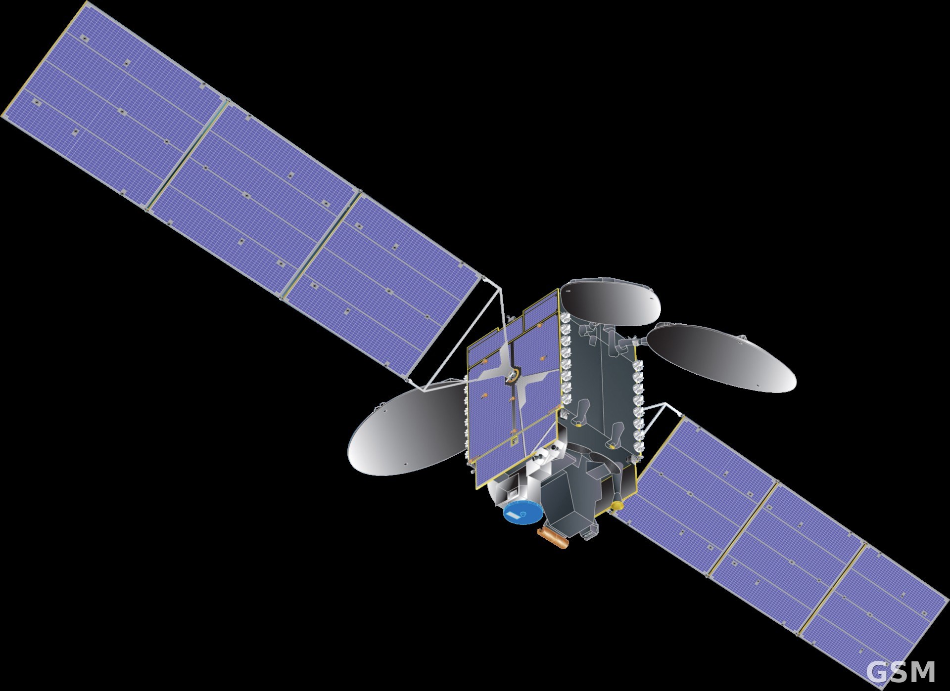
美国国家航空航天局(NASA)11月9日介绍,装在地球同步轨道上的 TEMPO 仪器正以每小时一次的频率扫描整个北美上空的大气,这是第一台地球同步轨道空气质量监测仪器;它2023年4月随 Intelsat 40e 通信卫星升空,位于赤道上空约22,000英里处。
过去的卫星一天只过境一两次,云层挡住就可能整天没数据。TEMPO 的光栅光谱仪对可见光和紫外光敏感,分辨率约2乘5公里一像素,能测对流层臭氧、二氧化氮、甲醛、云层和气溶胶,近实时数据在观测后约2至2个半小时即可用。NASA 说,TEMPO 近实时数据集已超过413TB,用户下载的近实时文件超过350万份,全系统数据年下载量超过300万GB。
数据已经用在实处。明尼苏达州污染控制局用 TEMPO 追踪臭氧前体物,发现臭氧生成的范围比地面站点显示的更大;2026年夏天,该州两度依据 TEMPO 数据作出发布空气污染健康警报的决定,而且比只靠旧数据时发得更早。爱荷华大学的 FireAQ 野火烟雾预报系统也在接入 TEMPO 的逐小时数据,用三维方式判断烟羽离地多高、会不会威胁沿途社区。
TEMPO 任务才进行了三年,预计还能工作10到15年。团队接下来要新增二氧化硫、气溶胶高度、水汽等产品,还有一项逐小时的地面紫外线指数,可供公共卫生部门更新紫外线预报。(来源:美国国家航空航天局)
TEMPO Scans North America's Air Every Hour: 413 Terabytes of Near-Real-Time Data, and Two Earlier Health Alerts in Minnesota
NASA said on November 9 that its TEMPO instrument, riding in geostationary orbit, now scans the atmosphere over North America once every hour, the first geostationary air quality monitor of its kind. TEMPO launched in April 2023 aboard the Intelsat 40e communications satellite and sits about 22,000 miles above the equator.
Earlier satellites passed over only once or twice a day, and clouds could wipe out a whole day's data. TEMPO's grating spectrometer, sensitive to visible and ultraviolet light, resolves about 2 by 5 kilometers per pixel and measures tropospheric ozone, nitrogen dioxide, formaldehyde, clouds and aerosols, with near-real-time products ready about 2 to 2.5 hours after observation. NASA said the near-real-time dataset now exceeds 413 terabytes, users have downloaded more than 3.5 million near-real-time files, and total downloads run above three million gigabytes a year.
The data is already in operational use. Minnesota's Pollution Control Agency tracks ozone precursors with TEMPO and found ozone forming over a larger footprint than its sparse ground network had shown; in the summer of 2026 the state twice used TEMPO data as a deciding factor in issuing air pollution health alerts, and issued them earlier than it could have with legacy data alone. The University of Iowa's FireAQ wildfire smoke forecasting system is also adding TEMPO's hourly readings to model smoke plumes in three dimensions and judge whether they threaten communities below.
TEMPO is three years into a mission that could last 10 to 15 more years. New products requested by federal agencies are on the way, including sulfur dioxide, aerosol height and water vapor measurements, plus an hourly ultraviolet index for the ground that public health experts can use to update UV forecasts. (Source: National Aeronautics and Space Administration)
来源:美国国家航空航天局
发布:GSM·美国(发布链接)
图片来源:图:TEMPO 仪器所搭载的通信卫星与 TEMPO 模型示意图。Wikimedia Commons 图片(公共领域,美国国家航空航天局)。 / Photo: An illustration of the host communications satellite with a model of the TEMPO instrument. Image via Wikimedia Commons (public domain, National Aeronautics and Space Administration).
GSM Global · 本篇英文版 English edition of this story