厄尔尼诺风暴逼近德州中南部 周末面临危险洪水威胁
德克萨斯州奥斯汀市消息,受厄尔尼诺天气模式影响,一轮风暴正逼近德克萨斯州中部与南部,奥斯汀至Brownsville一带从11月7日周六下午起面临危险的洪水威胁,最大威胁预计出现在周日。气象部门表示,太平洋急流在厄尔尼诺年份往往更为延展活跃,像传送带一样把风暴引向美国南部。周六,中德州丘陵地区以及从Laredo到Brownsville的走廊地带已发布一级山洪风险;周日风险升级并向南扩展,丘陵地区与南德州大部将面临二级山洪风险,最持久、最强的降雨预计出现在周日下午至周日夜间。从丘陵地区到墨西哥湾沿岸,降雨将持续到下周二,普遍降雨量可达2英寸,局部地区可达4英寸。气象部门提醒民众不要穿越被水淹没的道路,低洼地区居民应留意后续发布的山洪警报。
El Niño-Aided Storms Bear Down on Central and South Texas; Dangerous Flood Threat Through the Weekend
AUSTIN, Texas — Driven by an El Niño pattern, a round of storms is bearing down on central and southern Texas, with a dangerous flood threat from Austin to Brownsville beginning Saturday afternoon, November 7, and the greatest danger expected Sunday. Forecasters say the Pacific jet stream tends to stretch and strengthen in El Niño years, acting like a conveyor belt steering storms into the southern United States. On Saturday, a Level 1 flash flood risk was posted for the central Texas Hill Country and the corridor from Laredo to Brownsville; on Sunday the risk rises to Level 2 and expands south, covering the Hill Country and most of South Texas, with the most persistent and heaviest rain expected Sunday afternoon into Sunday night. Rain will last from the Hill Country to the Gulf Coast into next Tuesday, generally totaling 2 inches with local amounts up to 4 inches. Officials remind residents never to drive through flooded roads and urge those in low-lying areas to watch for flash flood warnings.
来源:Fox Weather
发布:GSM·美国(发布链接)
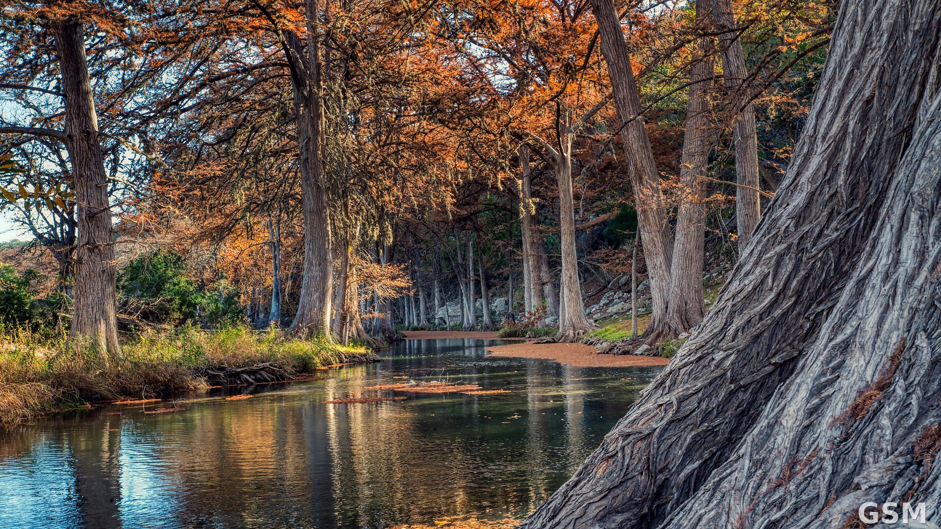
图片来源:图:德克萨斯州丘陵地区的瓜达卢佩河(资料图)。Wikimedia Commons,CC0。 / Photo: The Guadalupe River, Texas Hill Country (file photo). Via Wikimedia Commons, CC0.
GSM Global · 本篇英文版 English edition of this story