印度:强气旋风暴穆拉苏凌晨在安得拉邦翁戈尔附近登陆 风速达每小时120公里
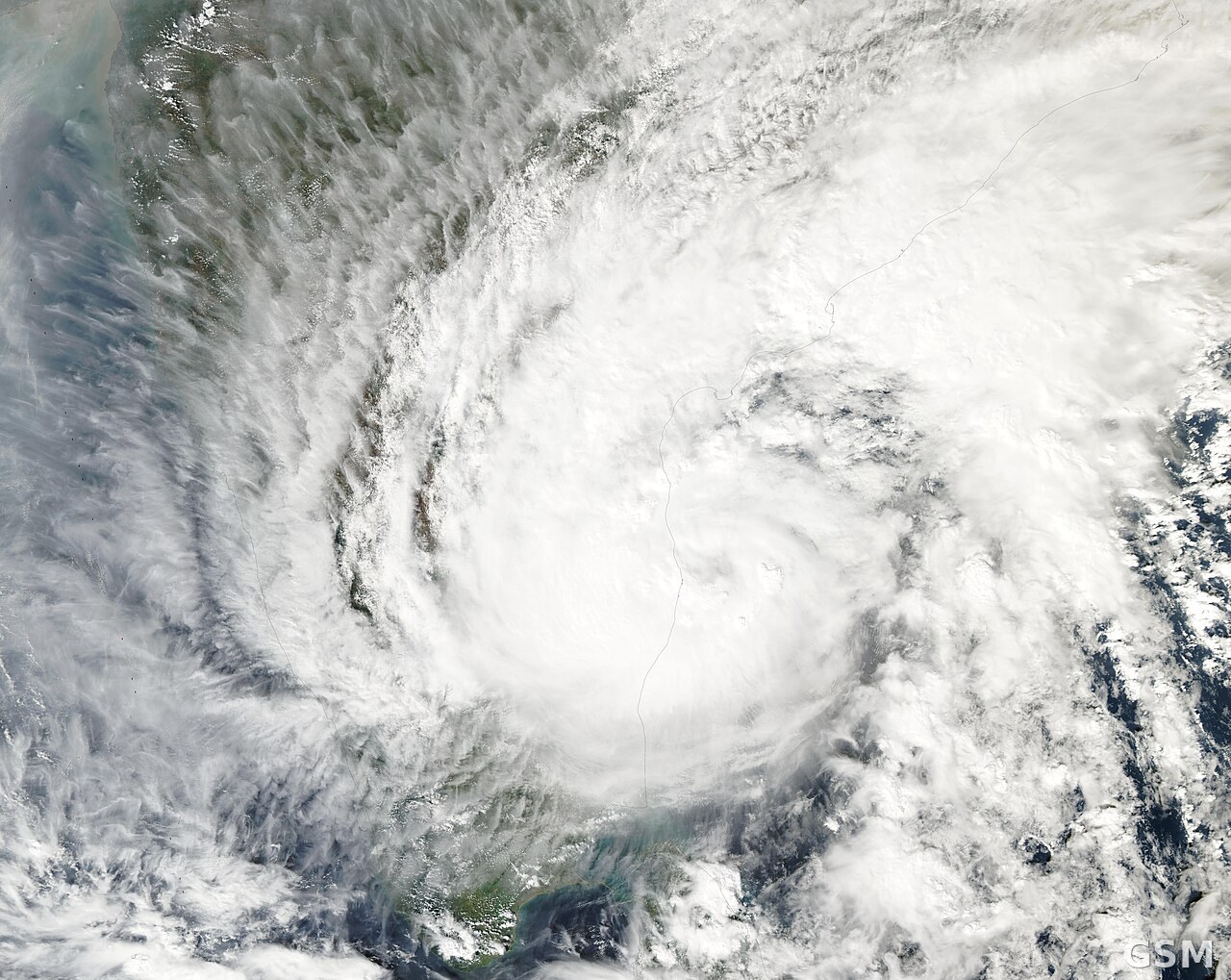
印度气象局(IMD)通报,孟加拉湾强气旋风暴「穆拉苏」(Murasu)11月3日凌晨1时起在印度安得拉邦南部海岸开始登陆,3时30分至5时30分之间在内洛尔与纳尔萨普尔之间、翁戈尔附近跨越海岸,持续风速每小时100至110公里、阵风达120公里。5时30分,风暴中心位于翁戈尔附近,约在巴帕特拉西南40公里、卡瓦利东北偏北80公里、马奇利帕特南120公里处。
气象局说,穆拉苏将继续向西北偏北移动并逐渐减弱:中午前后减弱为气旋风暴(风速80至90公里、阵风100公里),午夜前后进一步减弱为强低压(风速55至65公里、阵风75公里)。风暴正受马奇利帕特南与维沙卡帕特南多普勒天气雷达持续监视,渔民被要求在11月4日下午前不要沿安得拉邦海岸出海。
穆拉苏自周一起为安得拉邦南部沿海带来豪雨:据安得拉邦灾害管理局,普拉卡萨姆县 Naguluppalapadu 在周一上午8时30分至周二上午6时录得最高雨量198.01毫米。气象局预报巴帕特拉、贡图尔、克里希纳、帕尔纳杜等县周二有大到暴雨、局部极端强降雨;风暴潮高出天文潮1至1.5米,可能淹没南部沿海低洼地区,峰值出现在巴帕特拉、克里希纳与普拉卡萨姆县。
India: Severe Cyclonic Storm Murasu Makes Landfall Near Ongole in Andhra Pradesh With Gusts to 120 kmph
The India Meteorological Department (IMD) said Severe Cyclonic Storm Murasu over the Bay of Bengal began its landfall process on the south Andhra Pradesh coast at 1 a.m. on November 3 and crossed the coast between Nellore and Narsapur, close to Ongole, between 3:30 and 5:30 a.m., with sustained winds of 100 to 110 kmph gusting to 120 kmph. At 5:30 a.m. the centre lay near Ongole, about 40 km southwest of Bapatla, 80 km north-northeast of Kavali and 120 km from Machilipatnam.
The IMD said Murasu will continue moving north-northwest and weaken gradually, into a cyclonic storm with winds of 80 to 90 kmph gusting to 100 kmph by noon, and further into a deep depression at 55 to 65 kmph gusting to 75 kmph by midnight. The system is under continuous surveillance by Doppler weather radars at Machilipatnam and Visakhapatnam, and fishermen have been advised not to venture along and off the Andhra Pradesh coast until the afternoon of November 4.
Murasu has brought heavy rain to south coastal Andhra Pradesh since Monday: the Andhra Pradesh State Disaster Management Authority recorded the highest rainfall of 198.01 mm at Naguluppalapadu in Prakasam district between 8:30 a.m. Monday and 6 a.m. Tuesday. Heavy to very heavy rainfall with isolated extremely heavy showers is forecast on Tuesday over Bapatla, Guntur, Krishna and Palnadu districts, and a storm surge of 1 to 1.5 metres above astronomical tide is likely to inundate low-lying areas of the south coast, peaking over Bapatla, Krishna and Prakasam districts.
发布:GSM·美国(发布链接)
图片来源:照片:孟加拉湾上空热带气旋的卫星图(资料图),NASA MODIS Land Rapid Response Team 摄,Wikimedia Commons,公共领域 / Photo: Satellite view of a tropical cyclone over the Bay of Bengal (file photo), by NASA MODIS Land Rapid Response Team, Wikimedia Commons, public domain
GSM Global · 本篇英文版 English edition of this story