EarthDaily获航天局300万美元任务订单:商业卫星数据将与Landsat标准对标评估
地球观测公司 EarthDaily 10月26日在明尼苏达州 Maple Grove 宣布,已获得美国航天局(NASA)一项300万美元的任务订单,将提供 EarthDaily Constellation 卫星数据与技术支持,供航天局与美国地质调查局(USGS)评估把商业能力纳入联邦土地成像项目的新路径。
该订单服务于「可持续土地成像」(Sustainable Land Imaging,SLI)商业转型倡议——这是航天局与地质调查局的联合项目,研究商业地球观测数据如何在满足 Landsat 科学质量与连续性要求的前提下,补充政府自有系统。Landsat 系列自1972年以来持续记录地球陆地表面变化,是全球使用最广的免费土地成像数据来源之一。
按订单安排,两家机构将把 EarthDaily Constellation 数据与 Landsat 的标准和要求逐项对标,评估内容包括数据质量、校准、稳定性、辐射测量与几何性能、可协调性以及适用性;同时考察商业观测如何支持面向现代数据处理与机器学习流程的「AI 就绪」地球观测产品开发。公司方面表示,评估结果不等于其数据已被认定达到 Landsat 级别,相关验收结论尚待评估完成后公布。
EarthDaily 首席执行官 Don Osborne 表示:「Landsat 以数十年一致而可信的测量,建立了非凡的地球变化科学记录。EarthDaily 的出发点正是同一个基本理念:要理解变化,首先需要可以长期比较、值得信赖的测量。随着地球观测日益成为人工智能的输入,这种一致性更加重要。这项工作让我们有机会与航天局和地质调查局合作,展示科学级、AI 就绪的商业观测如何补充 Landsat 记录、把可信测量延伸到未来。」
联邦土地成像正处在政府系统与商业星座衔接的探索期:航天局与地质调查局此前已就可持续土地成像的商业转型征集业界意见,此次以付费任务订单形式让商业数据进入官方评估管线,是该倡议的具体落地一步。评估如何开展、商业数据最终以何种方式进入联邦项目,仍取决于后续评估结论与项目安排。
EarthDaily Wins $3 Million NASA Task Order to Benchmark Commercial Satellite Data Against Landsat Standards
Earth observation operator EarthDaily announced in Maple Grove, Minnesota, on October 26 that it has been awarded a $3 million task order by NASA to provide EarthDaily Constellation data and technical support for NASA and the U.S. Geological Survey (USGS) to evaluate new approaches for incorporating commercial capabilities into federal land imaging programs.
The task order supports the Sustainable Land Imaging (SLI) commercial transition initiative, a joint NASA-USGS effort examining how commercial Earth observation data can complement government systems while meeting the scientific quality and continuity needs of the Landsat record. The Landsat series has recorded changes to Earth's land surface continuously since 1972 and is among the most widely used free land-imaging data sources in the world.
Under the contract, NASA and USGS will evaluate EarthDaily Constellation data against Landsat standards and requirements, including data quality, calibration, stability, radiometric and geometric performance, harmonizability, and fitness for purpose. The work will also examine how commercial observations can support the development of AI-ready Earth observation products designed for modern data processing and machine-learning workflows. The company noted that the evaluation does not itself establish that its data already meets Landsat-grade requirements; acceptance results have not been disclosed.
"Landsat has created an extraordinary scientific record of how our planet is changing, built on decades of consistent and trusted measurement," said Don Osborne, Chief Executive Officer of EarthDaily. "EarthDaily was built around the same fundamental idea: to understand change, you first need measurements you can trust and compare over time. As Earth observation increasingly becomes an input to AI, that consistency becomes even more important. This work gives us the opportunity to collaborate with NASA and USGS to demonstrate how science-grade, AI-ready commercial observations can complement the Landsat record and help extend trusted measurement into the future."
Federal land imaging is in an exploratory phase of linking government systems with commercial constellations. NASA and USGS have previously sought industry input on the SLI commercial transition, and this paid task order, which brings commercial data into the agencies' official evaluation pipeline, is a concrete step in that initiative. How the evaluation proceeds and how commercial data may ultimately enter federal programs will depend on its findings and subsequent program decisions.
来源:GSM·美国(原文链接)
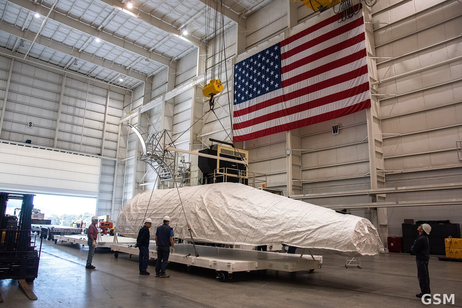
图片来源:图:Landsat 9 卫星的整流罩在加州 Vandenberg 太空军基地综合处理设施内吊装(资料图)。美国航天局(NASA)摄,公共领域,经 Wikimedia Commons。Photo: A payload fairing for NASA's Landsat 9 satellite inside the Integrated Processing Facility at Vandenberg Space Force Base, California (file photo). By NASA, public domain, via Wikimedia Commons.