大潮叠加持续向岸风 北卡东部沿海本周面临轻微洪水风险
北卡罗来纳州卡特里特县莫尔黑德市消息,美国国家气象局纽波特/莫尔黑德城预报办公室于10月26日发布沿海洪水提示,预计北卡东部沿海本周将出现轻微洪水,提示有效期至28日下午。天文大潮达到峰值,低洼地区水位可能比地面高出一至两英尺,外滩群岛与帕姆利科湾沿岸社区受影响最大,尤其是27日和28日上午涨潮时段。持续的向岸风进一步加大了风险,当地应急部门提醒居民把车辆移离易涝的岸边地段,途经沿海地区要预留更多时间,切勿驾车穿过被淹没的道路。
气象部门指出,本次过程以潮水偏高为主,并非风暴潮事件,但沿岸低洼路段仍可能出现积水,滨水社区在涨潮前后应留意道路封闭情况,居民应留意后续预报更新,提前做好防范,出行注意安全。
King Tides and Persistent Onshore Winds Bring a Risk of Minor Flooding to North Carolina's Eastern Coast This Week
Morehead City, Carteret County, North Carolina — The National Weather Service forecast office in Newport/Morehead City issued a coastal flood advisory on October 26, expecting minor flooding along North Carolina's eastern coast this week, with the advisory in effect through the afternoon of the 28th. Astronomical king tides are reaching their peak, and water levels in low-lying areas could rise one to two feet above ground level, with the Outer Banks and Pamlico Sound shoreline communities most affected, especially during the morning high-tide cycles on the 27th and 28th.
Persistent onshore winds further increase the risk, and local emergency officials remind residents to move vehicles away from flood-prone shoreline areas, allow more time when traveling through coastal areas, and never drive through flooded roadways. Forecasters note that this event is driven mainly by higher tides rather than a storm surge, but low-lying coastal road segments may still see standing water, and waterfront communities should watch for road closures around high tide, follow forecast updates, prepare in advance and travel safely.
来源:GSM·美国(原文链接)
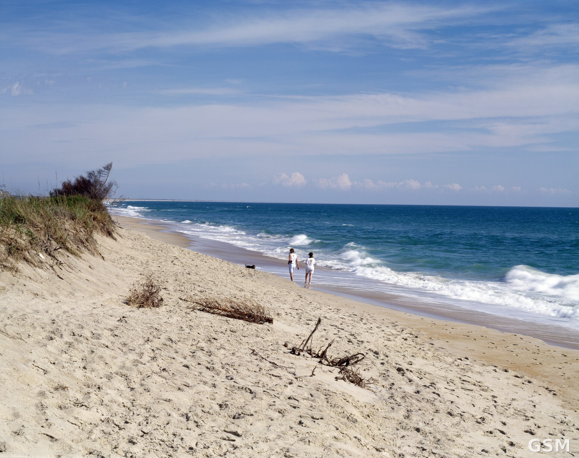
图片来源:北卡罗来纳州外滩群岛海滩。图片:Carol M. Highsmith,Public domain,取自维基共享资源。