日本小笠原群岛海域发生6.5级地震:震源深度492公里,USGS评估损失风险为最低等级
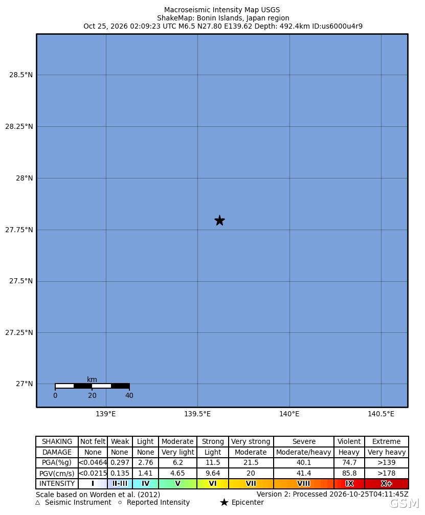
美国地质调查局(USGS)测定,10月25日凌晨2时09分(UTC,日本时间25日上午11时09分),日本小笠原群岛(Bonin Islands)海域发生6.5级地震,震中位于千叶县 Katsuura 市东南偏南约274公里的海域,震源深度约492.5公里。
USGS 的 PAGER 损失评估系统给出绿色等级,预计人员死亡与经济损失均处于最低档位:模型显示经济损失低于100万美元的概率达99%。本次地震最大烈度为2.9度,USGS 收到的震感报告极少。截至发稿,当地尚无人员伤亡与财产损失的报告。
小笠原群岛位于东京以南约1000公里的太平洋上,行政上隶属东京都。地质专家指出,震源深度接近500公里的深源地震,能量在向上传播至地表的过程中大幅衰减,因此即便震级达到6.5级,地表震感与破坏通常也远小于同震级的浅源地震。本次地震事件编号为 us6000u4r9,USGS 已完成评审并发布震度分布图。
Magnitude 6.5 Earthquake Strikes Off Japan's Bonin Islands: 492 km Deep, USGS Rates Damage Risk at Lowest Level
The U.S. Geological Survey (USGS) recorded a magnitude 6.5 earthquake in the Bonin Islands region of Japan at 02:09 UTC on October 25 (11:09 a.m. Japan time). The epicenter was about 274 km south-southeast of Katsuura, Chiba Prefecture, at a depth of roughly 492.5 km.
The USGS PAGER system issued a green alert, its lowest level, estimating a 99 percent probability that economic losses would remain below $1 million and indicating a very low likelihood of fatalities. Maximum shaking intensity was measured at 2.9, and the agency received very few felt reports. No casualties or property damage had been reported as of publication.
The Bonin Islands lie about 1,000 km south of Tokyo in the Pacific Ocean and are administered as part of Tokyo Metropolis. Seismologists note that deep-focus earthquakes at depths near 500 km lose much of their energy before reaching the surface, so even a magnitude 6.5 event typically causes far less shaking and damage than a shallow quake of the same size. The USGS event ID is us6000u4r9.
来源:GSM·美国(原文链接)
图片来源:图:本次地震震度分布图。图片:美国地质调查局(USGS),公共领域。