跟进:飓风「万斯」逼近墨西哥太平洋沿岸,格雷罗与米却肯沿海预报浪高4至5米
墨西哥国家气象局10月25日预报,飓风「万斯」带来的危险海况正逼近该国太平洋沿岸:格雷罗州与米却肯州沿海浪高预计达4至5米,科利马州3至4米,哈利斯科州2至3米,格雷罗与米却肯沿海阵风可达每小时50至70公里。
美国国家飓风中心周日凌晨将「万斯」定位于北纬14.3度、西经103.4度,最大持续风速每小时85英里,以每小时5英里向西北偏北移动,当时无沿海预警生效。「万斯」此前一度增强,最高风速达每小时105英里,其后开始减弱,美国国家飓风中心10月26日凌晨称其已减弱为热带风暴。
墨西哥国家民防协调机构已在五个州启动预防计划。预报显示,至10月29日,科利马、哈利斯科与米却肯西部累计降雨可达4至6英寸,孤点可达10英寸,存在洪水与山体滑坡风险。气象部门提醒沿岸居民留意官方通报,受影响沿岸包括阿卡普尔科、曼萨尼约与巴亚尔塔港等海滨城市。
Follow-Up: Hurricane Vance Nears Mexico's Pacific Coast With 4-5 Metre Waves Forecast for Guerrero and Michoacán
Mexico's national weather service forecast dangerous seas from Hurricane Vance along the country's Pacific coast on October 25: waves of 4 to 5 metres off Guerrero and Michoacán, 3 to 4 metres off Colima and 2 to 3 metres off Jalisco, with coastal gusts of 50 to 70 km/h in Guerrero and Michoacán.
The U.S. National Hurricane Center located Vance early Sunday at 14.3°N, 103.4°W, with maximum sustained winds of 85 mph, moving north-northwest at 5 mph, with no coastal watches or warnings in effect. Vance had earlier peaked at 105 mph before weakening, and by early October 26 UTC the center said it had weakened to a tropical storm.
Mexico's national civil protection agency has activated a preventive plan in five states. Through October 29, rainfall of 4 to 6 inches, with isolated amounts of 10 inches, is expected in Colima and western Jalisco and Michoacán, bringing flood and landslide risks. The affected coast includes Acapulco, Manzanillo and Puerto Vallarta.
来源:GSM·美国(原文链接)
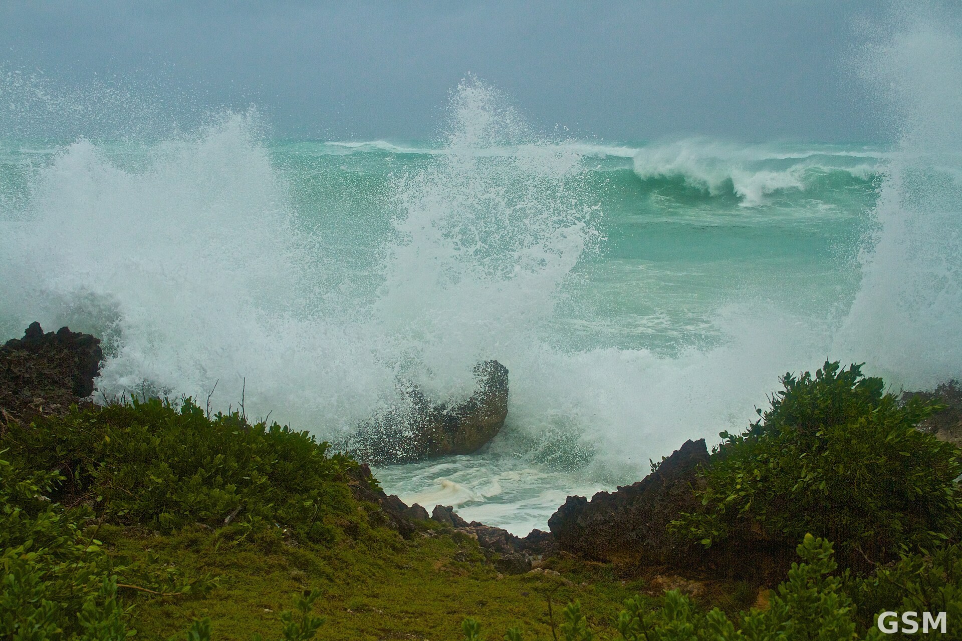
图片来源:图:飓风带来的大浪(资料图)。图片:Lee and Chantelle McArthur / Wikimedia Commons,CC BY 2.0
- 2026-10-24 02:20飓风Vance在墨西哥太平洋近海保持110英里时速:国家飓风中心称今晚起逐渐减弱,沿岸将现危险巨浪
- 2026-10-25 20:42跟进:飓风「万斯」逼近墨西哥太平洋沿岸,格雷罗与米却肯沿海预报浪高4至5米本篇