密歇根州五大湖大风预警生效 苏必利尔湖浪高可达16英尺 上半岛高地今日或飘今秋首场雪花
美国国家气象局(NWS)马凯特办公室 10 月 15 日晚发布航海天气警报:五大湖地区一股强冷锋过境,密歇根州上半岛沿岸水域 10 月 16 日清晨 6 时至晚 9 时(东部时间)生效大风预警——休伦群岛至马凯特一带北风 25 至 35 节、阵风可达 50 节,苏必利尔湖浪高 11 至 16 英尺;马凯特至白鱼角一带的大风预警持续至晚 11 时,浪高 10 至 15 英尺。气象部门提醒湖上船只与沿岸居民注意安全。
陆地上,马凯特一带 10 月 16 日以降雨为主,下午雨中可能夹杂短暂雪花,阵风可达每小时 40 英里;当夜内陆地区最低气温可降至华氏 25 度。需要说明的是,气象部门并未针对降雪发布正式预警:上半岛高地的雪花预计落地即化,不形成积雪。
据《Detroit自由新闻》10 月 13 日报道,国家气象局气象学家本·沃伦(Ben Warren)表示,休伦山脉与米奇加梅高地一带可能在冷锋后迎来今秋首场雪花,但同样落地即化。中西部区域气候中心的数据显示,马凯特的常年初雪日恰好就是 10 月 16 日。《Detroit自由新闻》10 月 15 日的报道还提到,这股系统给休伦湖带来最高 19 英尺的浪、密歇根湖浪高超过 16 英尺,五大湖地区 48 小时降雨量可达 1 至 2 英寸。
国家气象局盖洛德办公室 10 月 15 日表示,风雨过后周末天气将转干,10 月 18 日风力将再度增强。
Gale Warning in Effect on Michigan's Great Lakes: Lake Superior Waves to 16 Feet, First Snowflakes Possible in the U.P. Highlands
The National Weather Service (NWS) office in Marquette issued a marine weather statement on the evening of October 15: as a strong cold front crosses the Great Lakes, a gale warning is in effect from 6 a.m. to 9 p.m. Eastern on October 16 for waters from the Huron Islands to Marquette, Michigan, with north winds of 25 to 35 knots gusting to 50 knots and Lake Superior waves of 11 to 16 feet. The warning for waters from Marquette to Whitefish Point runs until 11 p.m., with waves of 10 to 15 feet. Mariners and lakeshore residents were urged to take precautions.
On land, the Marquette area will see mainly rain on October 16, possibly mixed with brief snowflakes in the afternoon, with gusts up to 40 mph; overnight lows inland could fall to 25°F. The Weather Service has issued no formal warning for snow: flakes in the Upper Peninsula highlands are expected to melt on contact and produce no accumulation.
NWS meteorologist Ben Warren told the Detroit Free Press on October 13 that the Huron Mountains and Michigamme highlands could see their first snowflakes of the fall behind the front, likewise melting on the ground. Data from the Midwestern Regional Climate Center show that October 16 is exactly Marquette's average first-snow date. The Free Press reported on October 15 that the system is bringing waves up to 19 feet on Lake Huron and over 16 feet on Lake Michigan, with 1 to 2 inches of rain across the Great Lakes region over 48 hours.
The NWS office in Gaylord said on October 15 that conditions will dry out over the weekend after the front passes, with winds strengthening again on October 18.
来源:GSM·美国(原文链接)
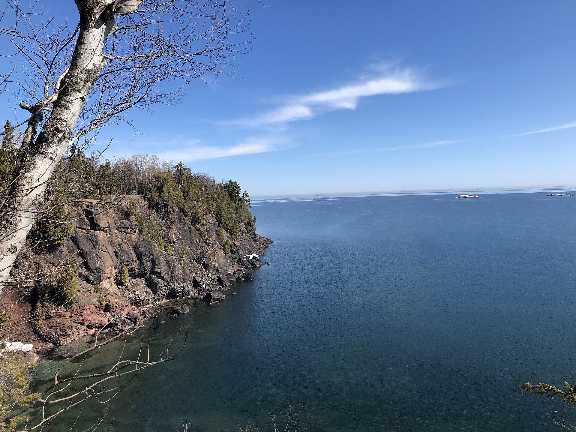
图片来源:图:苏必利尔湖马凯特普雷斯克岛公园湖岸——本轮大风预警水域正对岸(资料照片)。Hitoubashira 摄,CC BY-SA 4.0,维基共享资源 / Photo: The Lake Superior shore at Presque Isle Park in Marquette, facing the waters under the gale warning (file photo). Hitoubashira, CC BY-SA 4.0, via Wikimedia Commons
GSM Global · 本篇英文版 English edition of this story