加州Bakersfield以西Lost Fire山火烧毁7,834英亩,疏散令两日后全部解除
2026年6月18日上午10时03分,美国加利福尼亚州克恩县 Bakersfield 以西35英里处、Lokern Road 与 Lost Hills Road 西北4英里一带发生山火 Lost Fire。加州林业与消防局(CAL FIRE)通报,火场由克恩县消防局与美国土地管理局统一指挥,起火原因仍在调查。
火势当天下午迅速扩大:17时05分40英亩,17时40分70英亩且以危险速度蔓延、顺风顺坡上山跑火,18时31分400英亩,19时30分682英亩,当夜当局发布并多次更新疏散令。6月19日凌晨0时59分,空中侦察测得火场已达4,324英亩、受控5%;同日13时41分扩至7,500英亩,夜间持续猛烧。
6月20日凌晨0时37分,火场达7,834英亩、受控27%,同日凌晨全部疏散措施解除。6月21日下午,火场受控升至72%,消防人员继续扑灭热点。CAL FIRE 事件页未报告本次山火造成的人员伤亡数字。
克恩县2026年4月24日另有一场同名 Lost Fire(530英亩),与本场山火不是同一事件。
Lost Fire West of Bakersfield, California, Burns 7,834 Acres; Evacuations Lifted After Two Days
The Lost Fire broke out at 10:03 a.m. on June 18, 2026, four miles northwest of Lokern Road and Lost Hills Road, 35 miles west of Bakersfield in Kern County, California. CAL FIRE reported that the fire was under the unified command of the Kern County Fire Department and the Bureau of Land Management, and that its cause remained under investigation.
The fire grew rapidly that afternoon: 40 acres by 5:05 p.m., 70 acres by 5:40 p.m. with a dangerous rate of spread as it ran uphill aligned with terrain and wind, 400 acres by 6:31 p.m. and 682 acres by 7:30 p.m. Evacuation orders were issued that night and updated several times. By 12:59 a.m. on June 19, aerial intelligence measured the fire at 4,324 acres and 5 percent contained; by 1:41 p.m. that day it had grown to 7,500 acres and burned actively through the night.
By 12:37 a.m. on June 20 the fire stood at 7,834 acres and 27 percent contained, and all evacuations were lifted early that morning. By the afternoon of June 21 it was 72 percent contained as crews continued extinguishing hot spots. CAL FIRE's incident page reported no casualty figures for this fire.
Kern County had a separate fire of the same name, a 530-acre Lost Fire on April 24, 2026, which is a different incident from this one.
来源:加州林业与消防局
发布:GSM·美国(发布链接)
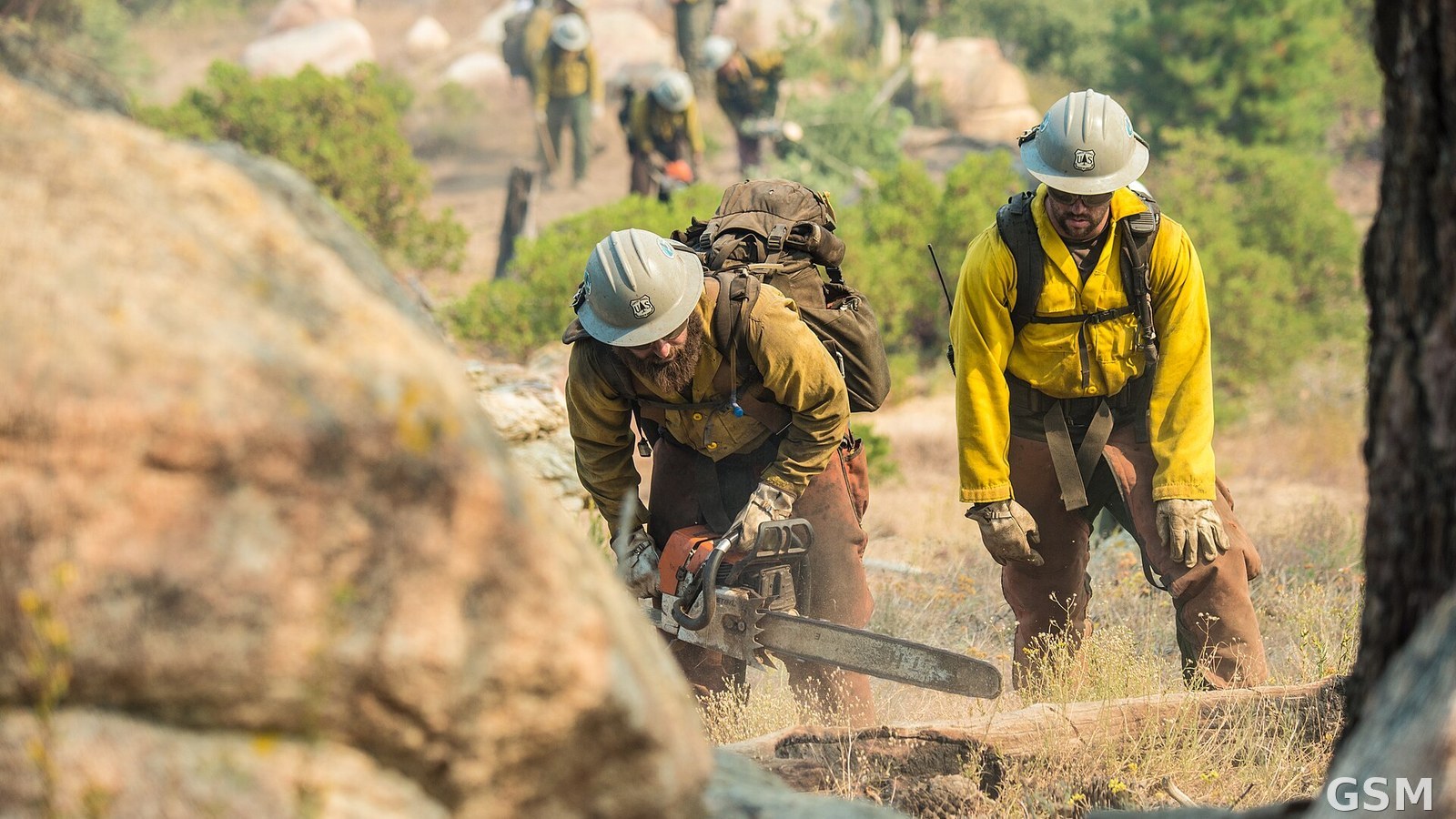
图片来源:图:消防员在山地灌木火场作业(资料照片:2016年同在加州克恩县的 Cedar Fire,非本次 Lost Fire 现场)。美国林务局(USDA Forest Service)摄,公共领域,经 Wikimedia Commons。 / Photo: Firefighters working a mountain brush fire (file photo: the 2016 Cedar Fire, also in Kern County, California; not a scene of the Lost Fire). Photo by the USDA Forest Service, public domain, via Wikimedia Commons.
GSM Global · 本篇英文版 English edition of this story