第29号台风Koguma维持非常强强度 三连休中日小笠原海域巨浪 东京行程暂未受扰
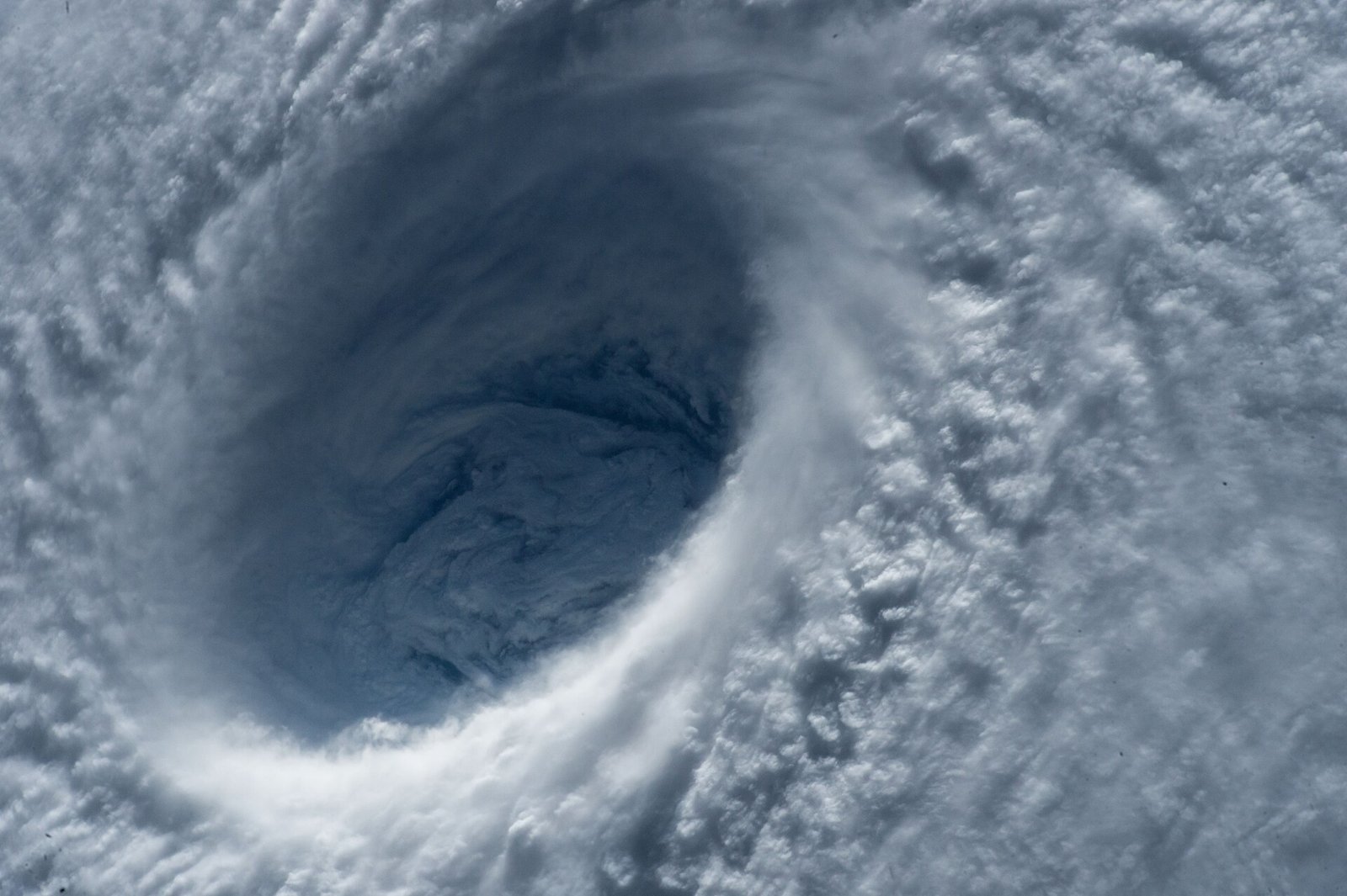
10月11日(周日)清晨,日本气象信息显示第29号台风Koguma仍维持「非常强」强度,中心风速约每秒45米,位于东京东南远方海面,以每小时20公里的速度向西北移动。预报显示其将在小笠原海域保持强度至周一,随后转向东北、远离本州。
台风在三连休期间不登陆本州,是这个周末最重要的天气结论:东京、京都等主要城市的行程可以照常,但小笠原群岛等离岛周边的涌浪风险持续。Weathernews等机构的预报把巨浪警示集中在离岛与太平洋沿岸。
今年日本周边海域台风活动频繁,9月台风Dujuan曾给关东与伊豆群岛带来破纪录降雨并造成人员伤亡。气象厅提醒,即使台风中心远离,高波、涌浪与外围雨带仍可影响渡轮、航班与沿岸活动。
周一是体育日假期,三连休返程高峰与台风外围影响可能在时间上重叠。离岛与沿海地区的交通运营商在返程高峰前陆续发布运行状态,气象厅的高波信息持续更新中。
Typhoon Koguma Holds Very Strong Intensity Over Ogasawara Waters on Holiday Sunday
At 6 a.m. on Sunday, October 11, Typhoon Koguma, the season's 29th, was still rated very strong, with winds of 45 metres per second far southeast of Tokyo, moving northwest at 20 kilometres per hour, according to Japanese weather reporting. The forecast kept it at the same strength through Monday in the Ogasawara waters before bending northeast, well offshore of Honshu.
The key conclusion for the holiday weekend is that the track does not cross Japan's main islands: trips to Tokyo or Kyoto could stay booked. The risk instead concentrates on swells around the Ogasawara Islands and exposed Pacific coasts.
Japan has had a busy typhoon season; in September, Typhoon Dujuan brought record rainfall to the Kanto region and the Izu Islands and caused deaths. The Meteorological Agency routinely warns that high waves, swells and outer rain bands can disrupt ferries, flights and coastal activity even when a storm's centre stays away.
Monday is the Sports Day holiday, and the return-travel peak may overlap with the storm's outer effects. Transport operators serving islands and coastal areas published running-status updates ahead of the return peak, and the agency's high-wave information continued to be updated.
图片来源:图:从国际空间站拍摄的超强台风风眼(资料图)。NASA官方照片,公有领域,来源:Wikimedia Commons