Isaias后续:死亡人数升至4人,转为后热带气旋,飓风中心发出最后公告、周日消散
飓风Isaias 10月9日晚以二级飓风、105英里/小时风速在佛罗里达州Destin附近登陆后(GSM已报道登陆与三州逾60万户断电),灾情在周六进一步明朗:死亡人数已升至4人。佛州Escambia县一名女子因大树倒下砸中民宅身亡;另有一名男子被发现死于车库内——事发时发电机在室内运行,另有4人一氧化碳中毒,州长德桑蒂斯证实了这一情况。阿拉巴马州Birmingham一名居民因大树倒砸民宅死亡,当时屋内两人受困;州长Kay Ivey周六下午确认了该州第二名死者,细节尚未公布。Isaias也终结了美国两年的飓风登陆空白,上一次登陆是2024年10月的飓风Milton。
国家飓风中心(NHC)美中时间周六凌晨4时发出关于Isaias的最后一份公告:其中心位于阿拉巴马州Montgomery西南南约40英里处,已转为后热带气旋,以约14英里/小时向北移动,最大持续风速降至约35英里/小时,所有警戒均已解除,预计周日消散,残余系统周六至周日将穿过阿拉巴马进入田纳西河谷,随后转向东北。
降雨与次生灾害风险仍在:阿拉巴马南部、佛州狭长地带与Big Bend、佐治亚西南部预计降雨4至8英寸,局部可达15英寸,山洪、城市内涝与河洪风险显著;周六上午至下午,佛州狭长地带东部、佐治亚州以及南北卡罗来纳州部分地区仍有龙卷风风险。湾岸与内陆地区断电户数周六上午仍达数十万,抢修与清障队伍已出动。提醒在当地的华人居民:不要驾车穿越积水路段,远离倒伏电线,听从当地政府最新通知。
(资料来源:国家飓风中心最后公告、《今日美国》、Pensacola News Journal/FOX Weather汇总)
Isaias Update: Death Toll Rises to 4 as Storm Turns Post-Tropical; Hurricane Center Issues Final Advisory
After Hurricane Isaias made landfall near Destin, Florida, on the night of Oct. 9 as a Category 2 storm with 105 mph winds — GSM has covered the landfall and the more than 600,000 outages across three states — the toll rose to four on Saturday. In Florida's Escambia County, a woman was killed when a large tree fell on a home; another man was found dead inside a garage where a generator had been running indoors, with four others suffering carbon monoxide poisoning, Governor DeSantis confirmed. In Birmingham, Alabama, one resident died when a tree fell on a home, trapping two people; Governor Kay Ivey confirmed a second Alabama death on Saturday afternoon, with details not yet released. Isaias also ended a two-year U.S. hurricane-landfall drought; the previous landfall was Hurricane Milton in October 2024.
In its final advisory at 4 a.m. CT Saturday, the National Hurricane Center said Post-Tropical Cyclone Isaias was centered about 40 miles south-southwest of Montgomery, Alabama, moving north near 14 mph with maximum sustained winds down to about 35 mph. All watches and warnings were dropped. The system is expected to dissipate on Sunday after crossing Alabama into the Tennessee Valley and turning northeast.
Rain and secondary hazards continue: 4 to 8 inches of rain are expected across southern Alabama, the Florida Panhandle and Big Bend and southwest Georgia, with localized totals up to 15 inches and considerable flash, urban and river flooding possible. A tornado risk persists Saturday morning into the afternoon across the eastern Florida Panhandle, Georgia and parts of the Carolinas. Outages still numbered in the hundreds of thousands on Saturday morning as repair and debris crews mobilized. Chinese-American residents in the area should not drive through flooded roads, stay away from downed power lines, and follow the latest local government notices.
(Sources: NHC final advisory; USA TODAY; Pensacola News Journal/FOX Weather roundup)
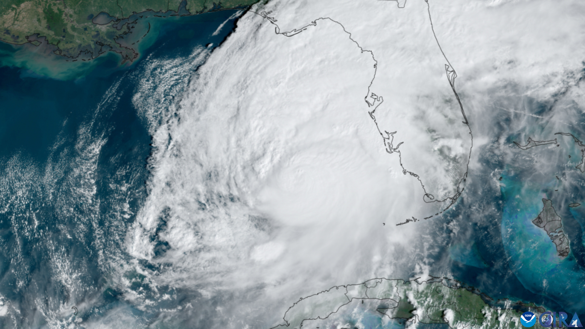
图片来源:NOAA/CIRA 飓风卫星资料图,公有领域(Wikimedia Commons)