Isaias升为三级强飓风,今晚在佛州Pensacola附近登陆
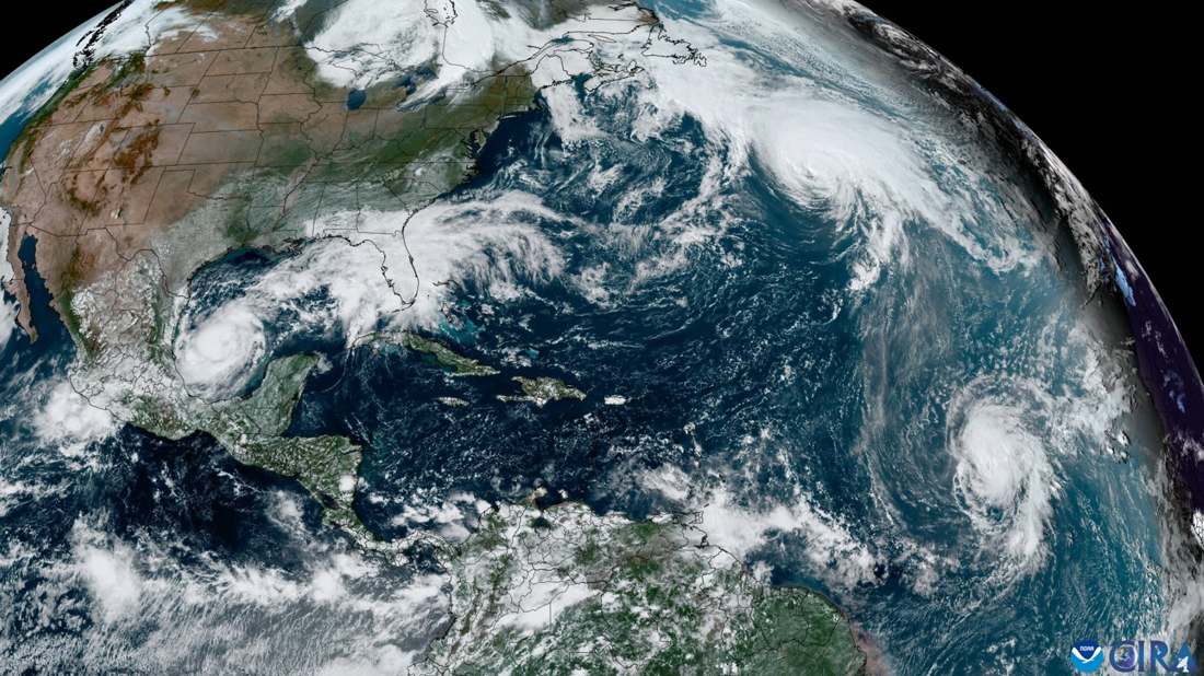
据国家飓风中心(NHC)10月9日晨更新,飓风Isaias最大持续风速升至120英里/小时,达三级强飓风,中心位于佛州Pensacola以南约245英里,以15英里/小时向北北东移动,预计今晚至周六凌晨在Pensacola附近登陆。Pensacola至Indian Pass一带风暴潮最高可达6–9英尺;周末降雨4–8英寸、局部15英寸,沿海有龙卷风风险。佛州27县、阿拉巴马州40县、佐治亚州159县已进入紧急状态。沿海居民请服从当地疏散指令。(来源:NHC,2026-10-09;登陆前以nhc.noaa.gov最新公告为准)
Isaias Strengthens Into Category 3; Landfall Expected Near Pensacola Tonight
Hurricane Isaias strengthened to a Category 3 storm with 120 mph winds on Friday morning, centered about 245 miles south of Pensacola, Florida, moving north-northeast at 15 mph, according to the National Hurricane Center. Landfall is expected near Pensacola tonight into early Saturday, with 6–9 feet of storm surge, 4–8 inches of rain (locally 15) and a coastal tornado risk. Florida, Alabama and Georgia have declared emergencies. (Source: NHC, Oct. 9, 2026)
图片来源:Wikimedia Commons · Three Hurricanes Swirl in Atlantic Basin (CIRA 2024-10-06).png · Public domain