飓风 Isaias 逼近墨西哥湾:周五晚登陆阿拉巴马至佛州一线,风暴潮可达 7 英尺
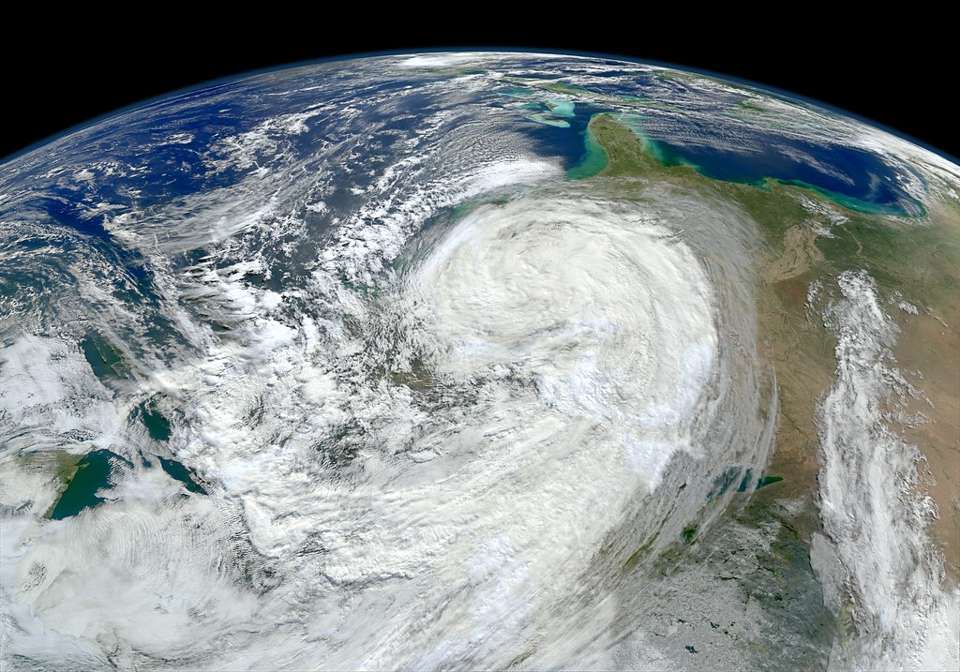
Isaias 的最新动态(续报):国家飓风中心(NHC)通报,Isaias 已升级为飓风——这是2026年大西洋飓风季第九个命名风暴、第一个飓风。目前最大持续风速约85英里/小时且仍在增强,预计周五凌晨前后达到约110英里/小时峰值(二级、接近三级门槛),之后略减弱,以一到二级强度于周五晚至周六凌晨在阿拉巴马州Orange Beach至佛州狭长地带一线登陆,周六凌晨1点(中部时间)前后最接近Orange Beach。 飓风警告已覆盖密西西比州Ocean Springs至佛州Bay/Gulf县线;登陆点共识在Biloxi与Destin之间、偏向Pensacola一侧。密西西比河口至佛州Suwannee River有风暴潮警告,Ocean Springs到Indian Pass及Mobile Bay可达5至7英尺;降雨3至7英寸、局部15英寸。今早通报的Escambia县A/B区疏散仍在执行,佛州州立大学、佛州农工大学等高校停课,13个县中小学周四、周五停课。佛州25县紧急状态(州长10月6日签署)继续有效。 综合NHC、佛州应急管理部门信息,GSM将随登陆进展更新。
Hurricane Isaias Nears Gulf Coast: Landfall Friday Night, Surge Up to 7 Feet
The latest on Isaias (developing): The National Hurricane Center says Isaias has strengthened into a hurricane — the ninth named storm and first hurricane of the 2026 Atlantic season. Maximum sustained winds are near 85 mph and rising, with a peak around 110 mph expected early Friday (Category 2, near Category 3 strength) before slight weakening. Landfall at Category 1–2 strength is expected Friday night into early Saturday between Orange Beach, Alabama, and the Florida Panhandle, closest to Orange Beach around 1 a.m. CT Saturday. Hurricane warnings run from Ocean Springs, Mississippi, to the Bay/Gulf county line in Florida, with the landfall consensus between Biloxi and Destin, favoring the Pensacola side. Storm-surge warnings cover the Mississippi River mouth to Florida's Suwannee River, with 5 to 7 feet possible from Ocean Springs to Indian Pass and in Mobile Bay; rainfall of 3 to 7 inches, locally 15, is forecast. The Escambia County Zone A/B evacuations reported this morning remain in effect; Florida State and Florida A&M are closed, and schools in 13 counties are shut Thursday and Friday. Florida's 25-county emergency declaration, signed Oct. 6, remains in force. Compiled from NHC and Florida emergency management updates; GSM will follow the landfall.
图片来源:图片来源:Openverse · NASA Goddard Photo and Video(CC BY)