墨西哥湾热带低压或成今年首个飓风,周末登陆路易斯安那至佛州一带
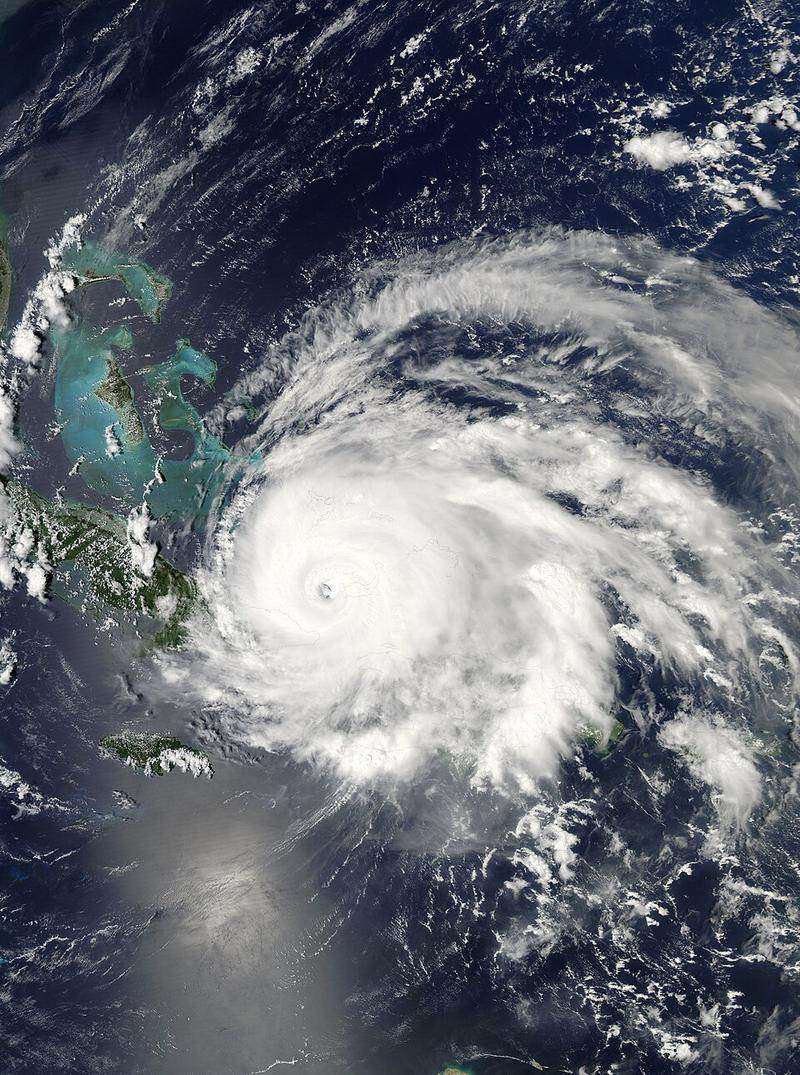
墨西哥湾西南部的低压区周二升级为第九号热带低压,可能发展为2026年大西洋飓风季首个飓风。预报显示其周四达飓风强度、周五增强至二级,周末在路易斯安那至佛州狭长地带之间登陆。
预报员警告,登陆时可能是“危险的飓风”。AccuWeather 首席飓风预报员 Alex DaSilva 说,路径偏东可避开风切变、增强为飓风;若走墨西哥湾中部则可能只是热带风暴。谷歌 DeepMind 集合预报中80%的模型达到飓风强度。
多数模式预计它在10月9-10日接近海岸前,因遭遇强急流和干空气而减弱。(综合 Pensacola News Journal 报道)
Gulf Tropical Depression Nine May Become Season's First Hurricane, Eyeing LA-to-Florida Landfall
A low-pressure area in the southwestern Gulf was upgraded to Tropical Depression Nine on Tuesday and may become the first hurricane of the 2026 Atlantic season — reaching hurricane strength Thursday and Category 2 by Friday, with landfall late Friday or Saturday somewhere from Louisiana to the Florida Panhandle.
Forecasters warn it could be a "dangerous hurricane" at landfall. AccuWeather's Alex DaSilva: a farther-east track escapes wind shear for hurricane status; a central-Gulf track likely means tropical storm. 80% of Google DeepMind ensemble models reach hurricane strength.
Most models weaken it before the Oct. 9-10 coastal approach as it meets jet-stream shear and dry air. (Via Pensacola News Journal)
图片来源:Wikimedia Commons