佛蒙特州启动赖茨维尔大坝钻探检测:位列全州大坝安全优先名单第二
蒙彼利埃——佛蒙特州大坝工程师今秋将用三周时间,对赖茨维尔大坝进行钻探取样。这座高115英尺的土石坝横亘在威努斯基河北汊之上,为下游的州府蒙彼利埃拦蓄洪水。从10月5日到10月23日左右,工程人员将从坝体内部、坝基土壤以及辅助溢洪道周围的基岩中取样,排查此前评估中发现的薄弱环节与潜在溃坝情形。
据州环境保护厅介绍,赖茨维尔大坝在全州大坝安全优先名单上位列18座大坝中的第二,仅次于东巴里大坝。这份排名来自州政府委托的18座高风险与显著风险大坝风险评估,由 RTI 国际公司完成,耗资约44.5万美元,目的是帮助州政府把有限的检测与维修资金先投到最需要的地方。
州政府强调,这份排名综合考量了大坝可能出什么问题、以及一旦出事下游会怎样——蒙彼利埃就坐落在赖茨维尔大坝下游,因此大坝一旦失事对城市的影响也被计入评分。但排名并不意味着赖茨维尔大坝就是全州第二可能溃决的大坝。
赖茨维尔大坝与东巴里大坝、水伯里大坝同为州环境保护厅拥有的威努斯基河三座防洪大坝。钻探期间,州政府提醒北汊沿岸与蒙彼利埃居民关注州紧急警报渠道发布的施工动态。
信息来源:佛蒙特州环境保护厅、Compass Vermont
Vermont Begins Drilling Investigation at Wrightsville Dam, Second on State Dam-Safety Priority List
MONTPELIER — Vermont dam engineers will spend three weeks this fall drilling into Wrightsville Dam, the 115-foot earthen dam on the North Branch of the Winooski River that holds back floodwater above Montpelier. From about Oct. 5 to Oct. 23, crews will take samples from inside the dam, the soil beneath it and the bedrock around its auxiliary spillway, investigating vulnerabilities and potential failure scenarios identified in an earlier assessment.
Wrightsville Dam ranks second of 18 on the state's dam safety priority list, behind only the East Barre Dam, according to the Vermont Department of Environmental Conservation. The ranking comes from a risk assessment the state commissioned on 18 high- and significant-hazard dams, completed by RTI International for about $445,000, meant to help direct limited money for dam studies and repairs where it is needed first.
The ranking weighs both what could go wrong with a dam and what would happen downstream if it did — and because Montpelier lies below Wrightsville Dam, what a failure would mean for the city is part of the dam's score. The state stresses the ranking is not a prediction that Wrightsville Dam is the second-most likely dam in Vermont to fail.
Wrightsville is one of three Winooski River flood-control dams owned by the Department of Environmental Conservation, along with East Barre and Waterbury. During the drilling, the state urges residents along the North Branch and in Montpelier to follow state emergency alert channels for construction updates.
Sources: Vermont Department of Environmental Conservation; Compass Vermont
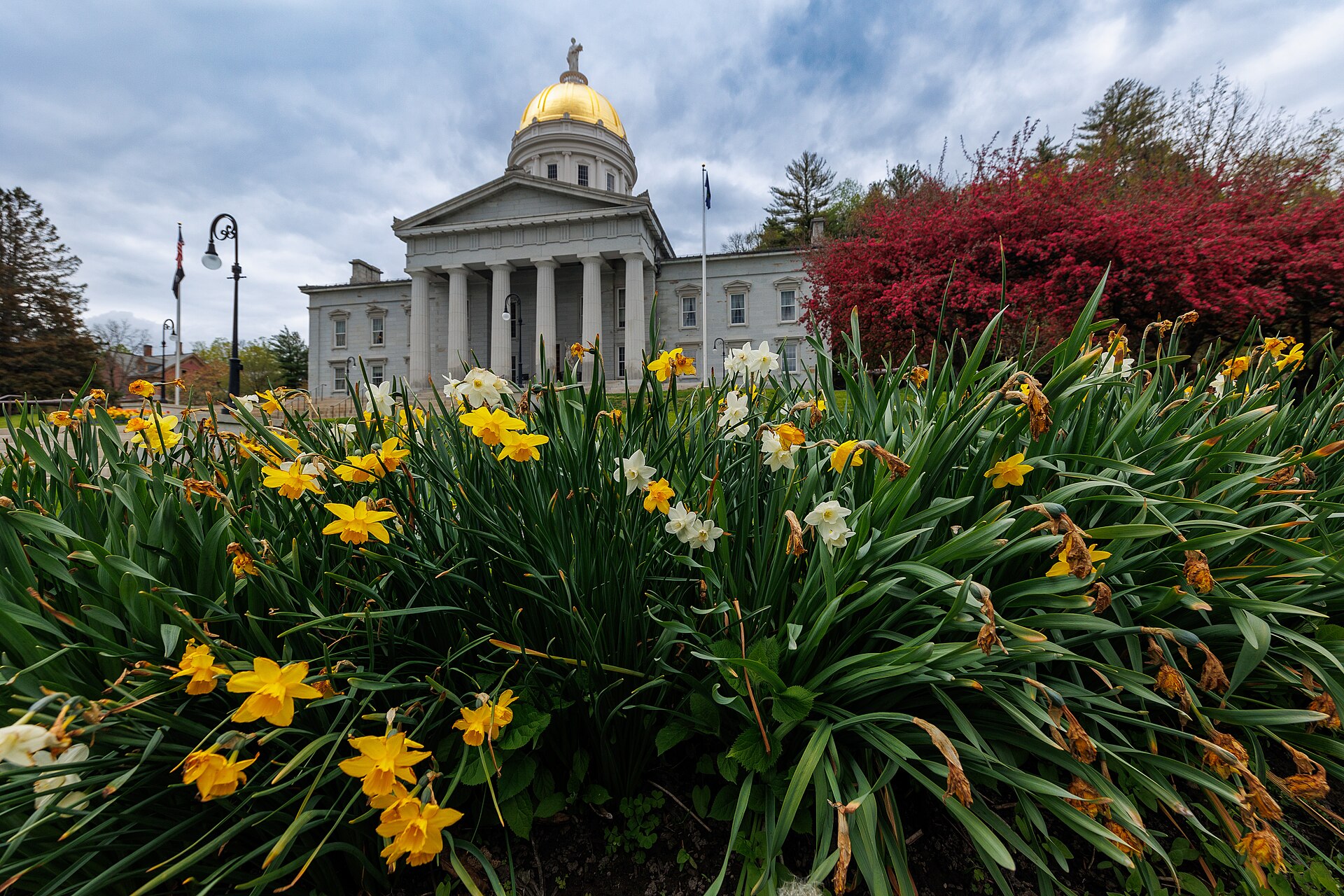
图片来源:图:佛蒙特州议会大厦(蒙彼利埃)。摄影:Kenneth C. Zirkel,CC BY 4.0,取自 Wikimedia Commons